


About
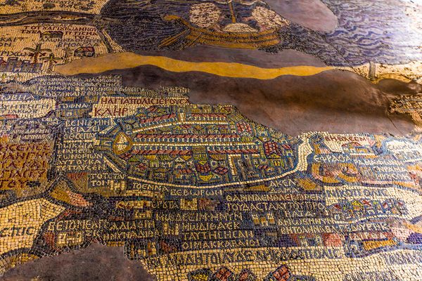
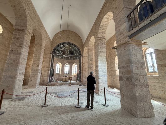
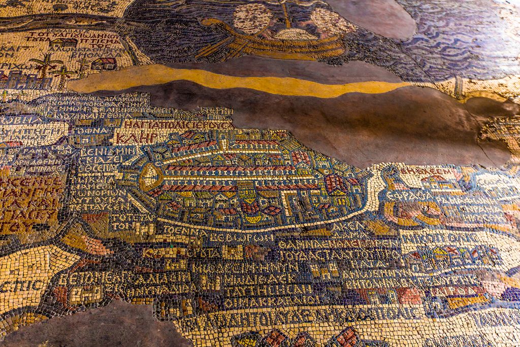
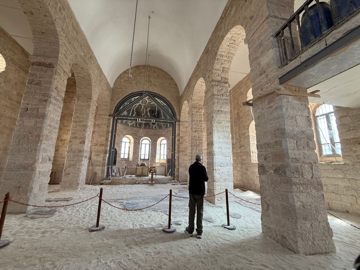
Located in the Church of Saint George in Madaba, Jordan, the Madaba Mosaic Map is the world's oldest glimpse into the cartography of the Middle East during biblical times.
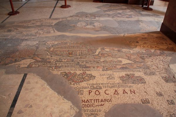
This tile map is the oldest known geographic floor mosaic in existence, depicting the Middle East during the height of the Byzantine period. Installed sometime during the late 6th century CE, much of the map's tiles have been chipped away or been destroyed but a large contiguous piece of the map still exists illustrating both locations and names ranging from geographic features to cities. The mosaic covers lands from Egypt to Lebanon, including sites such as Bethlehem and Gethsemane, but the gem of the mosaic is the detailed representation of the city of Jerusalem. The Jerusalem portion of the map shows a number of specific structures and street in the city such as the Damascus Gate, the Church of The Holy Sephulchre, and the Tower of David.
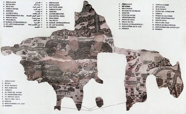
There are a number of recreations of the mosaic across the world, most of which are fittingly placed in the floor of a foyer, much like the original. There is one in a school in Bonn, as well as a copy in the floor of the YMCA in Jerusalem. The Madaba Map may not be complete, but it is still our most comprehensive overview of the biblical landscape.
Related Tags
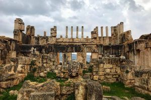
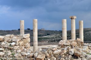
Ancient Ruins & Legendary Landmarks of Jordan
Explore Mesmerizing Jordan: From Petra to Greco-Roman Ruins.
Book NowCommunity Contributors
Added By
Published
May 1, 2014