


About
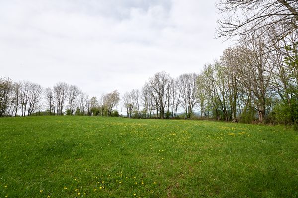
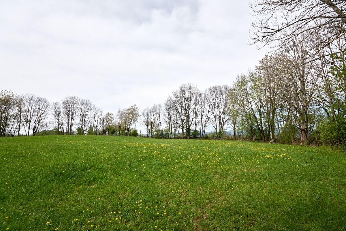
Amid fields and groves in the southwestern corner of Germany, close to the Swiss and French borders, lies an enormous concrete ring overgrown with trees and shrubbery.
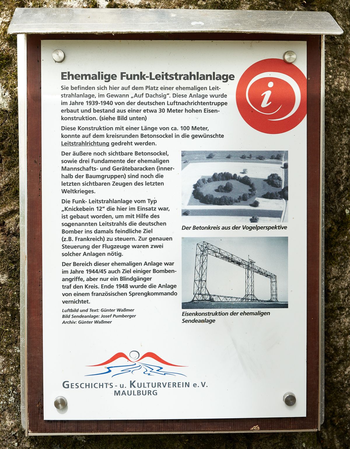
It’s what remains of a massive structure developed by the German Luftwaffe (Air Force) during the “Battle of the Beams” in World War II. Codenamed Knickebein (German for “crooked leg”), its purpose was to guide bombers toward their targets in Britain during their nightly raids by means of modulated radio signals.
About 13 of these aerial antennas were erected along the channel coast and inland. Measuring 312 feet in diameter and about 100 feet tall, the one here at Maulburg (#12) was the tallest one, along with Stollberg (#2) and Kleve (#4).
After the war, a French commando demolished the antenna, leaving only the concrete foundation in place. The concrete ring held the rails on which the antenna could be rotated and aligned toward its target. A small explanatory display board in the vicinity of the circle shows an old photograph of the antenna.
Related Tags
Know Before You Go
Several walkways lead up to the site from either Maulburg and Hoellstein, but you won't find any guideposts. It is freely accessible 24/7. Please stay on the paths and do not cut across the fields. The entrance to the circle is to its east.
Published
May 20, 2019