


About
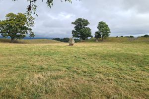
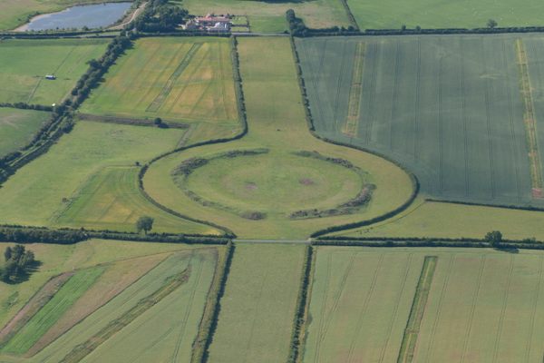
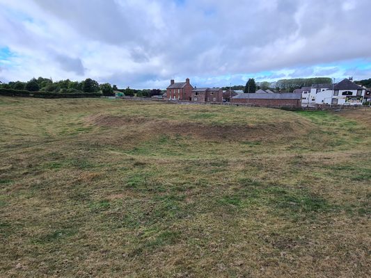
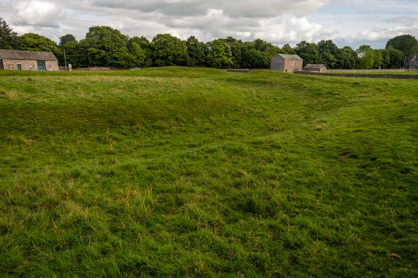
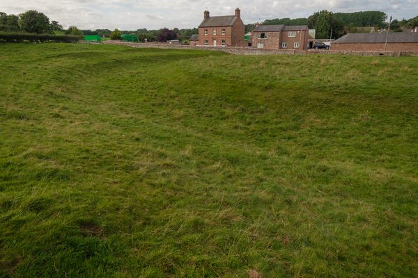
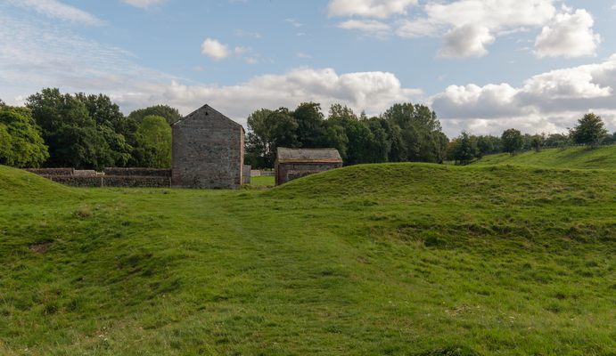
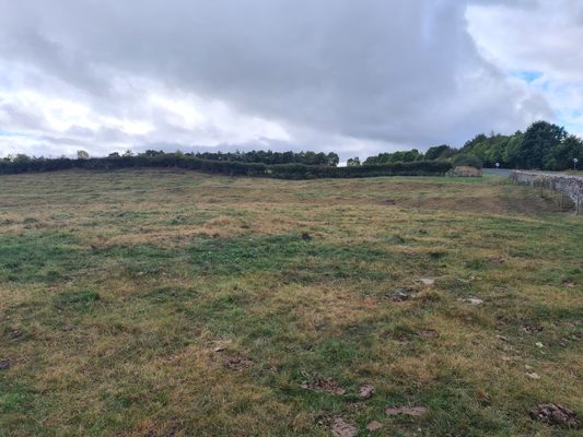
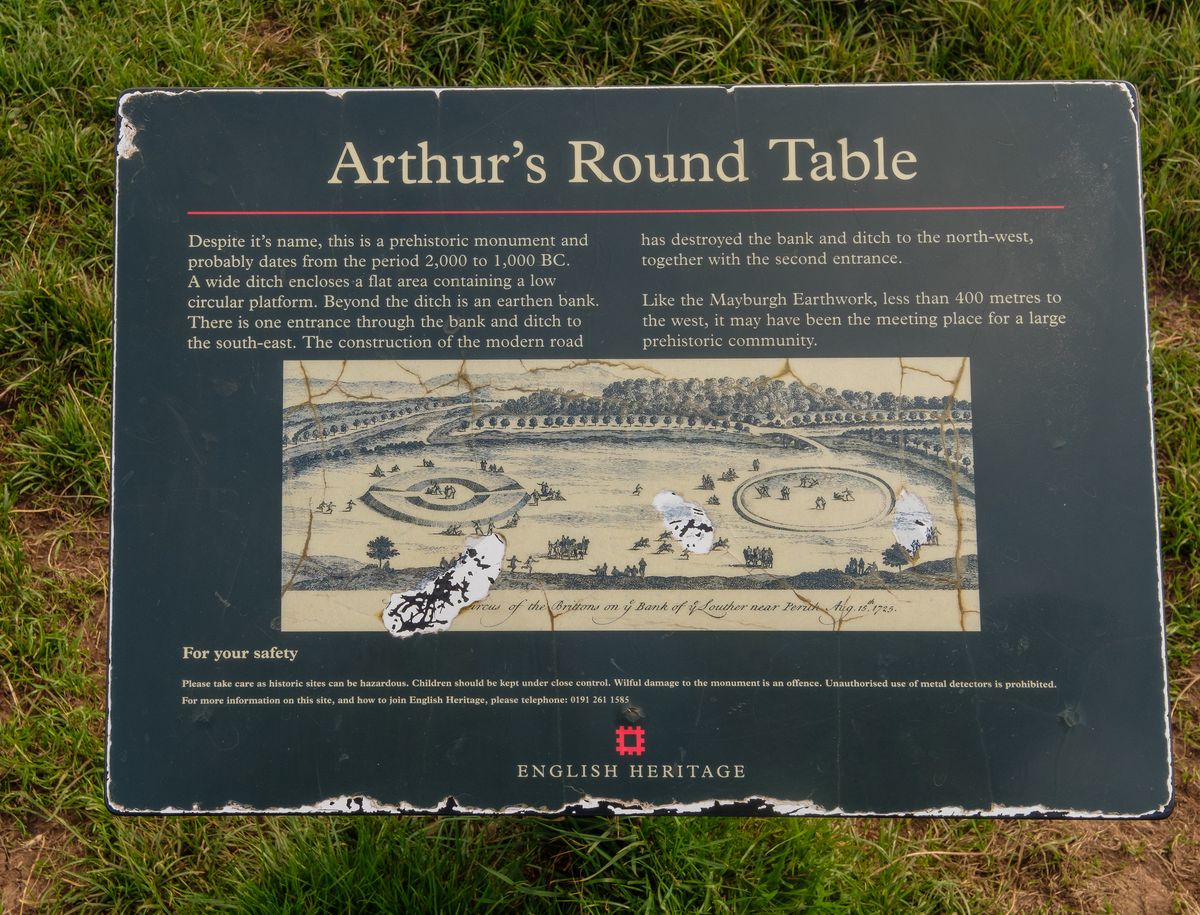
Despite its name, King Arthur's Round Table is actually a late Neolithic period earthwork henge that dates back to around 2000-1000 B.C.—even further than Arthurian legend.
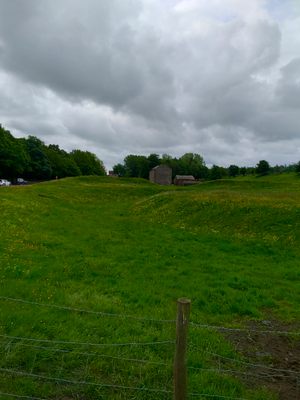
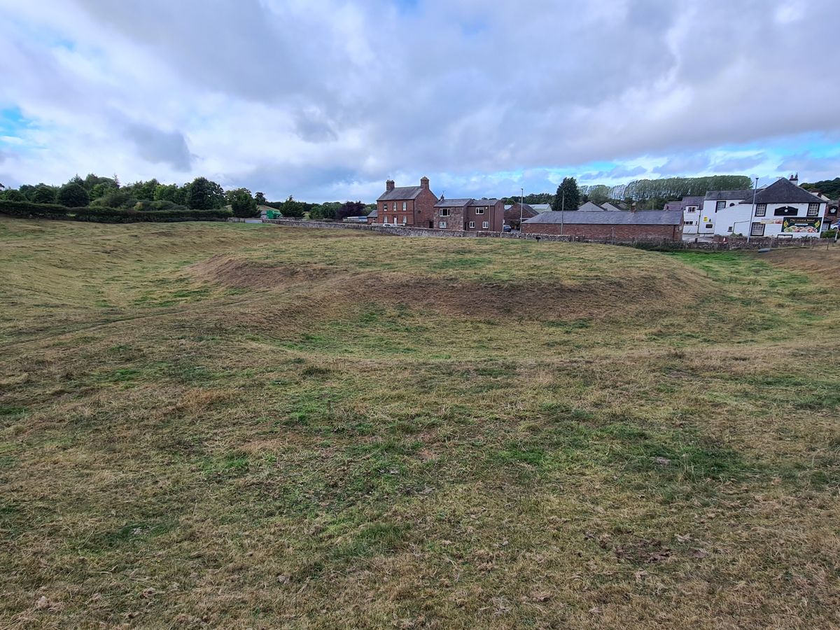
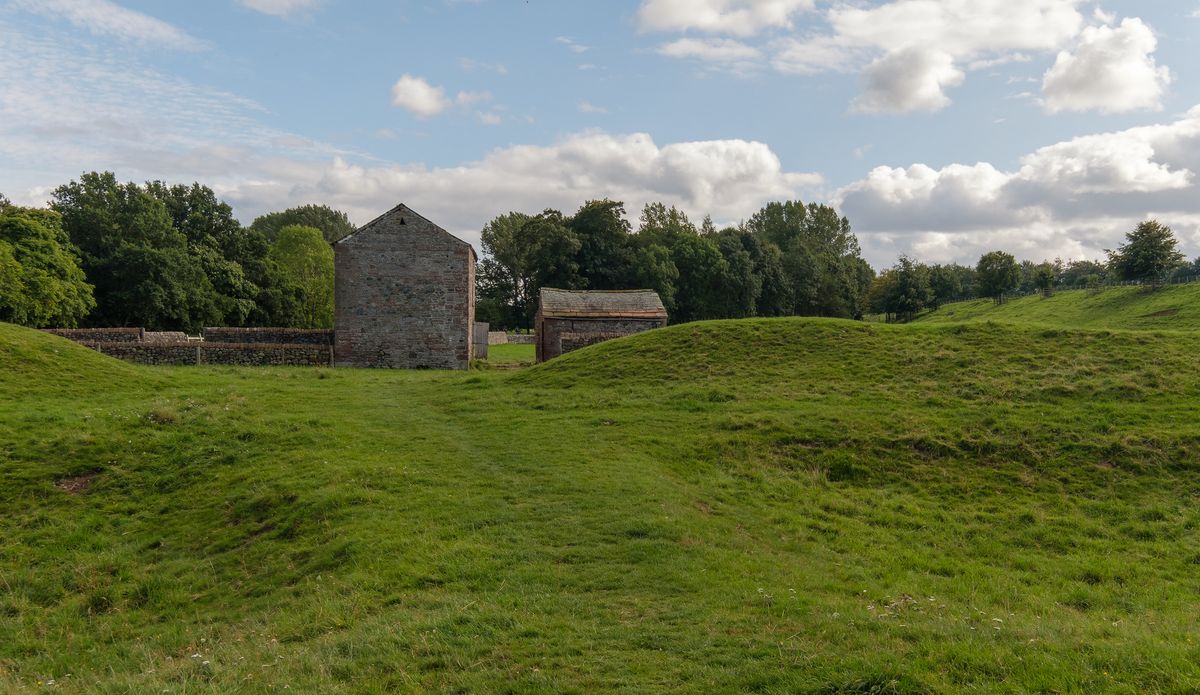
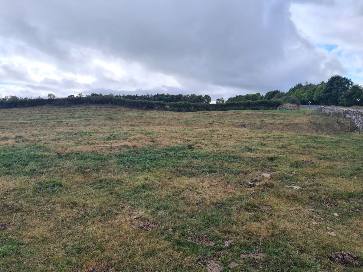
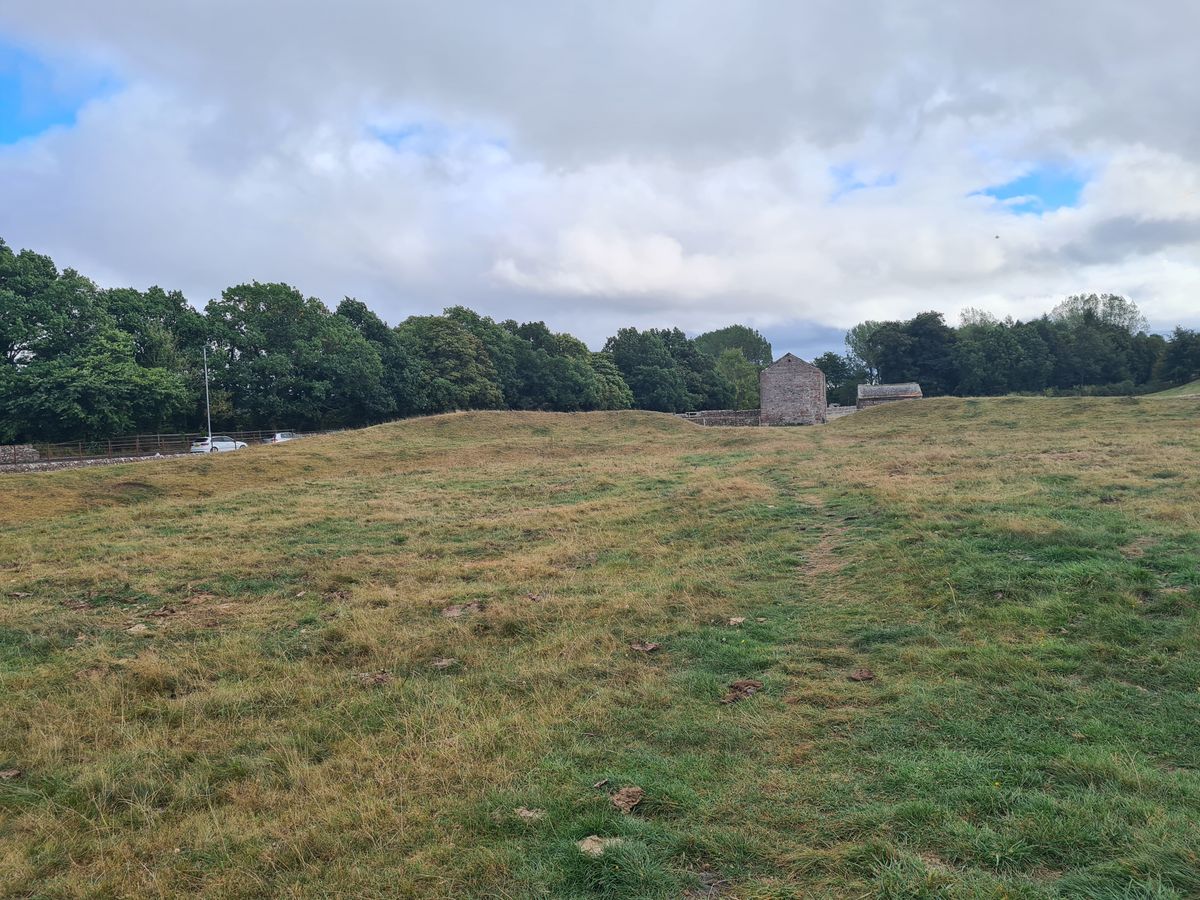
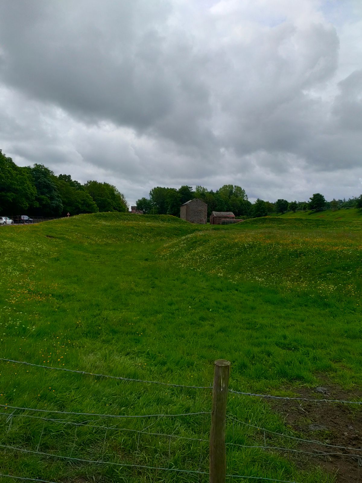
Originally part of a group of prehistoric megalithic sites and burial mounds in this area, King Arthur's Round Table is now one of a pair of remaining henges on the edge of Eamont Bridge, along with nearby Mayburgh Henge. The ancient monument consists of a low circular platform surrounded by a wide ditch and earthen bank.
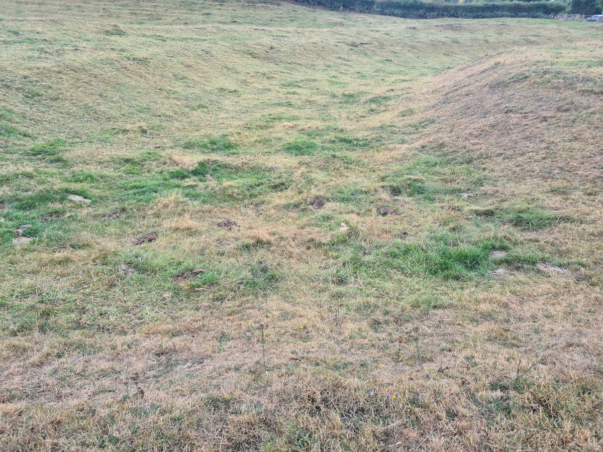
King Arthur's Round Table is about 90 meters (295 feet) in diameter, with an enclosed area that measures 50 meters (164 feet) across. The ditch has a maximum width of 16 meters (52 feet), the bern seven meters (23 feet), and the bank 13 meters (43 feet).
There were originally two entrances to the central circular area; one to the southeast, which still exists, and another to the northwest, which was destroyed, along with part of the bank and ditch structure, when the nearby B5320 road and the Crown Hotel were constructed. Further damage to the site occurred when the A6 road was constructed cutting through the east side of the henge.
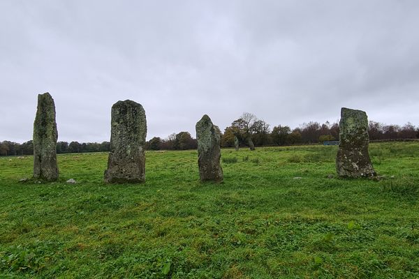
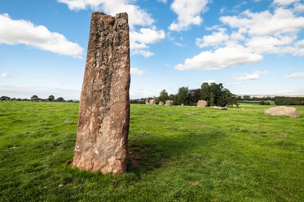
In 1937, the site was excavated by British archaeologist R.G. Collingwood, who found evidence suggesting there were originally two standing stones at the northwest entrance. These archaeological investigations support a 17th-century drawing of the henge which showed standing stones at the northwest entrance. However, these standing stones had disappeared by 1725.
The 1937 excavations showed that the ditch had been cleared out and reshaped at some point in history, and the entrance that ran through it was made narrower. During the excavation, Collingwood also discovered a long, shallow trench near the center of the circular platform, which he suggested was possibly where the dead were cremated.
A later excavation in 1939 by G. Bersu contradicted most of the earlier findings, arguing that the posthole features were not of archaeological significance and that there was no evidence of cremation burning. (Although he accepted that there might be a disturbed grave at the site.) But more recent excavations in 1998 have queried Bersu's work and largely rehabilitated Collingwood's reputation as an archaeologist.
Parts of the King Arthur's Round Table henge were landscaped in the late 18th to early 19th century, with an intention to use the site as a recreational area including a tea garden.
Like other Neolithic monuments, the exact purpose of the site remains unknown. Although, it is thought that it might have been the meeting place for a large prehistoric community, perhaps for trading purposes though possibly also for ritual or ceremonial use. The latter is supported by Collingwood's findings of a cremation site within the henge.
King Arthur's Round Table may have acquired its name in the 17th century or possibly even earlier, due to its circular form, combined with a revival of interest in Arthurian legends when it was thought to be a location for jousting.
Related Tags
Know Before You Go
The still visible Mayburgh Henge is within easy walking distance.
The third of the henges in the area, Little Round Table henge, is 200 meters to the south of King Arthur's Round Table. It is not easy to locate, there is a barely discernible bank on the northern side of King Arthur's Round Table which is 30 meters in length, up to five meters wide, but only 15 centimeters high.
Community Contributors
Added By
Published
November 2, 2021