


About
In the early 20th century, some members of the U.S. Congress, pressured by lobbyists, feared that setting aside land for National Forests would starve the timber industry. As such, funding was minimal and the nascent U.S. Forest Service was forced to find creative solutions to complete their directive.
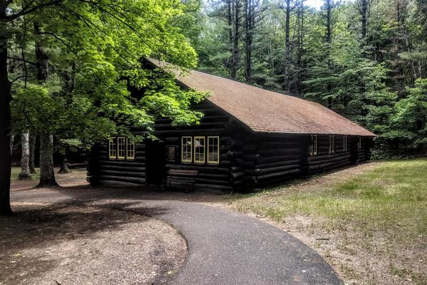
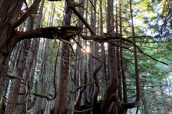
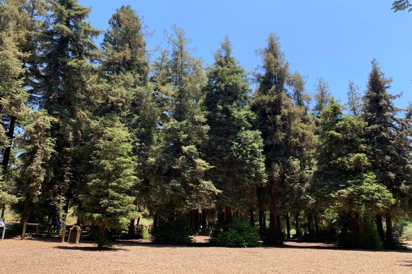
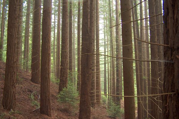
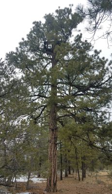
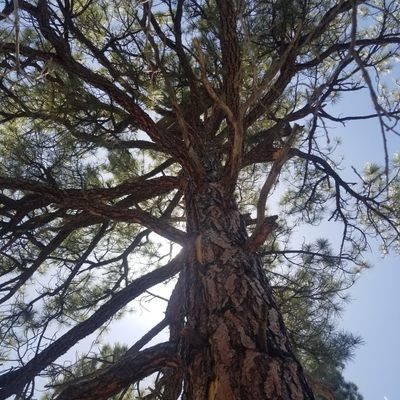
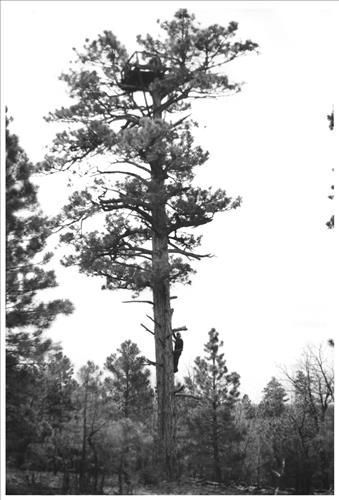
In the Kaibab National Forest, a large area spreading across both sides of the Grand Canyon, the Forest Service lacked the budget to build towers to spot the smoke of early fires. So it used the tall structures that were already there, the massive Ponderosa pine trees.
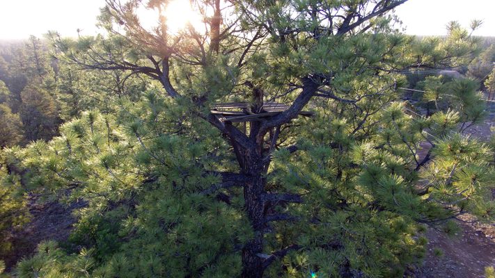
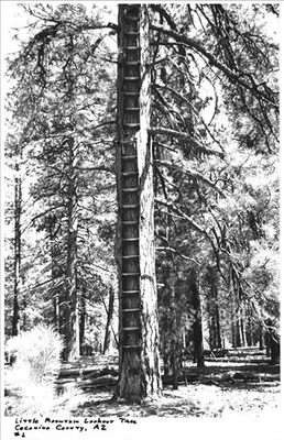
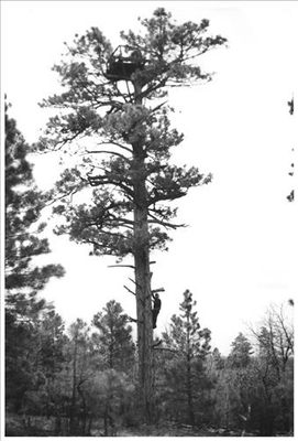
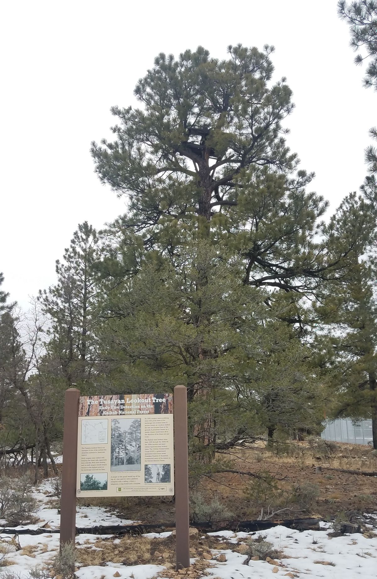
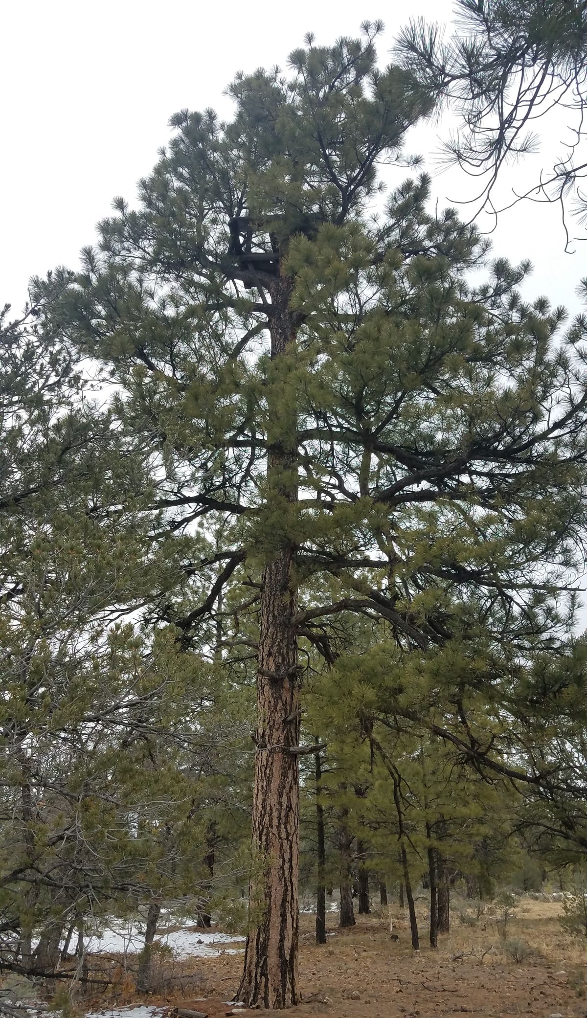
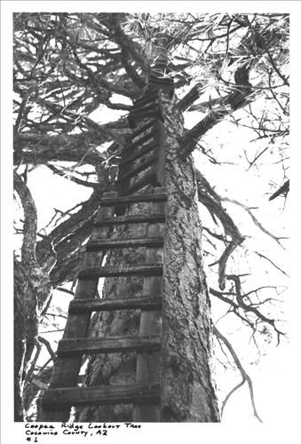
Forest Service employees would hike up to the highest vista in an area and from there would find the tallest tree. They would then construct a ladder against the side of the tree and saw off the top, building a platform on the flattened trunk.
The tree platforms were equipped with a telephone, map, and compass. Each was staffed by two people: a lookout who kept an eye on the horizon for wisps of smoke, and a patrolman who would run towards early fires and attempt to put them out. If the patrolman was unable to put the fire out on their own, the lookout would use the telephone to call for more help. Dozens of these lookout trees were constructed by the Forest Service in the name of wildfire prevention.
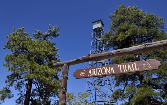
Beginning in the 1930s, the Civilian Conservation Corps, a government program launched during the Great Depression, began constructing steel towers in National Forests to replace the lookout trees. The use of lookout trees continued through the 1940s, but as more steel towers were constructed the trees were eventually phased out and forgotten.
In 1987, the Forest Service began a survey of disused fire towers across the National Forests and included the old lookout trees. Of the dozens of tree towers that once formed a network across the Kaibab National Forest, only 11 were located. The others either had since deteriorated and become unrecognizable from the surrounding trees or were simply not found. The 11 remaining trees were added to the National Register of Historic Places in 1992.
Related Tags
Know Before You Go
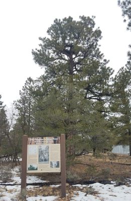
The map coordinates lead to the Tusayan Lookout Tree, which is likely the most accessible due to its proximity to a paved road. To reach this tree, turn off of Long Jim Loop at the Tusayan Sports Complex onto Fire Rd. 2607. Turn right at the electric station; the tree and its sign are just beyond the station on the right.
The lookout trees are spread across the Kaibab National Forest on both sides of the Grand Canyon. You can find the coordinates to the other lookout trees here. Be warned that to reach most of the trees you'll have to drive down dirt roads that are only seasonably passable, depending on the weather and your vehicle, and even from there some hiking may be required.
Community Contributors
Added By
Published
December 12, 2018
Sources
- https://en.m.wikipedia.org/wiki/Lookout_trees_in_Kaibab_National_Forest
- http://grandcanyoncollective.com/2017/08/23/off-the-beaten-path-kaibab-forest-lookout-trees/
- https://npgallery.nps.gov/NRHP/AssetDetail?assetID=1eb5da41-4a84-4402-9b8d-c7687379cb22
- https://npgallery.nps.gov/NRHP/AssetDetail?assetID=3ae33c9b-a616-4bac-bf11-07211178dd7a
- https://npgallery.nps.gov/NRHP/AssetDetail?assetID=66fd7cab-ca1b-4357-b8a2-ce75db1e5dea
- https://www.fs.usda.gov/kaibab