


About
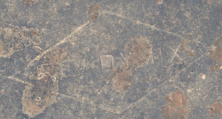
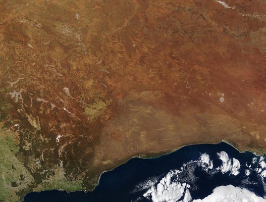
The flat, arid and almost treeless Nullarbor Plain sits on the border between South Australia and Western Australia. The plain is the world's largest single exposure of limestone bedrock, and it’s a barren and largely featureless swath of land. Featureless, that is, apart from the ReadyMix logo, a huge diamond containing some of the largest letters in the world.
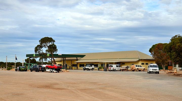
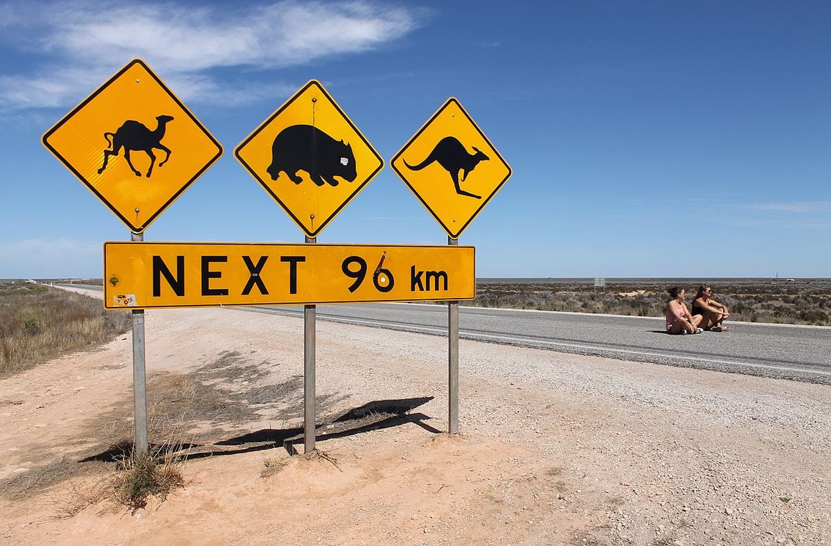
In the 1960s, the notoriously bad road linking Western Australia and South Australia via the Nullarbor Plain was a real boneshaker. In 1964, entries in the register of the John Eyre Motel, which sat along the route, included such choice comments as “Please put lights in the potholes,” “Oh! My aching arse!” and “So that's why kangaroos hop. Caution: blow horn before entering potholes—there may be another car in it.”
It was a lamentable state of affairs and one that the state government sought to resolve. Work therefore began on improving and sealing the Eyre Highway, beginning in earnest in 1965. Among the companies contracted to work on the project was the Readymix Group, which would undertake quarrying operations along the Eyre Highway during its sealing.
At some point in 1965, someone, somehow, and for debatable reasons, came up with the idea of etching a giant Readymix company logo into the limestone at almost the exact midpoint of the Eyre Highway. Now, this may have been done out of sheer boredom, or it might have been a clever advertising ploy ... or it was an emergency airstrip. Perhaps it was a mix of all three.
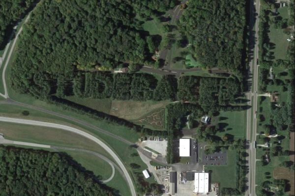
What we do know for sure is that one of the quarry surveyors was given the task of marking the logo out, and then Allan Hoare, a grader driver, graded it into the limestone plain over a holiday weekend. This was no small task: The finished diamond measured two miles across and one mile high, with each letter of the capitalized “READYMIX” measuring 800 by 600 feet.
Maybe it was simply something to do over a slow holiday weekend stuck out on the Nullarbor Plain. But it was also a fine piece of advertising, not only because of the attention it later garnered in the press, but also because of the flight path that happened to go right above the logo. The logo wasn’t far from the small roadhouse community of Caiguna, which during the ‘60s and ‘70s was home to a VOR ground station used by aircraft to signal a turning point on routes to and from Perth. That meant that around 400 aircraft passengers saw the massive logo each day, and it was always a talking point.
As for the emergency airstrip story, well, that’s slightly contested. Readymix never actually received official permission to etch a vast logo into the Nullarbor Plain, something local authorities soon picked up on. When asked about it, Readymix could hardly say “Sorry, we were bored,” and saying it was all just a big, unauthorized publicity stunt probably wouldn’t sit too well either. But calling it a “four-way airstrip” for potential emergency landings, well, that sounded like a benefit to society. And it may well be true, although the logo has never been recorded on any aeronautical charts or other maps as an airstrip.
By the 1980s, the logo was beginning to fade. Permission to maintain the logo was revoked around 1980, and advances in aircraft technology meant that direct flights to Perth were no longer crossing over Caiguna. With hardly anyone left to behold the massive logo, it was left to deteriorate. Even The Guinness Book of World Records, which had first included the Readymix logo in its 1972 edition as “The largest permanent letters in the world,” stopped including the entry after its 1991 edition.
The internet, however, has given the logo a second chance at fame. Thanks to Google Maps and Google Earth, more people than ever can potentially observe the Readymix logo, albeit from a computer screen rather than an aircraft window.
Related Tags
Published
March 5, 2018