


About
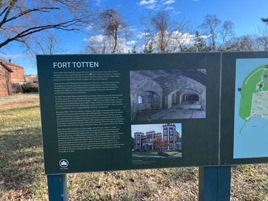
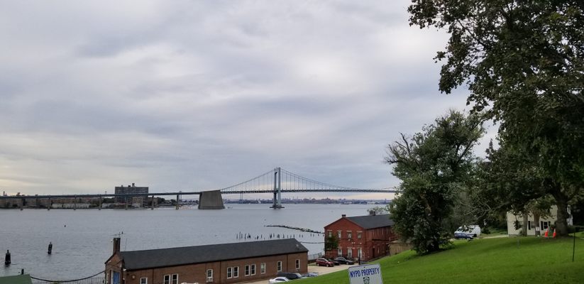
If you look at the MTA subway map, in the top right hand corner is a legend explaining what the different symbols on the map mean. But hidden underneath this legend is the location of an abandoned Civil War fort, now an obscure underfunded city park — Fort Totten.
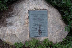
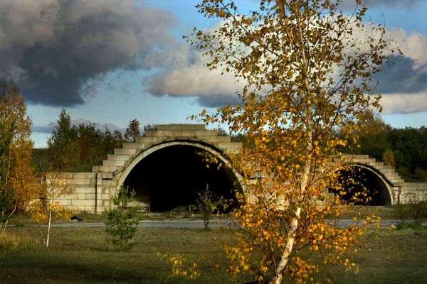
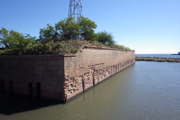
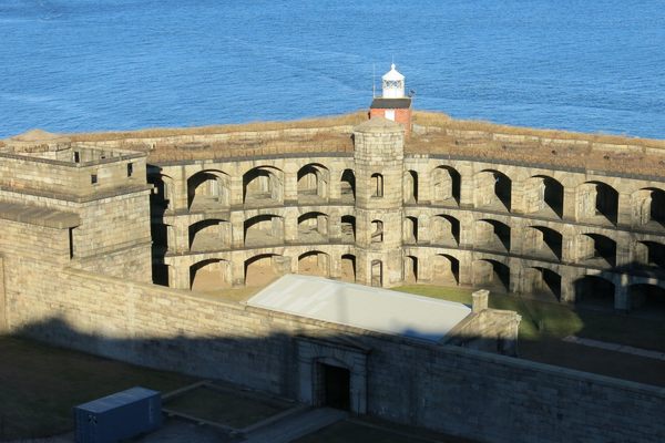
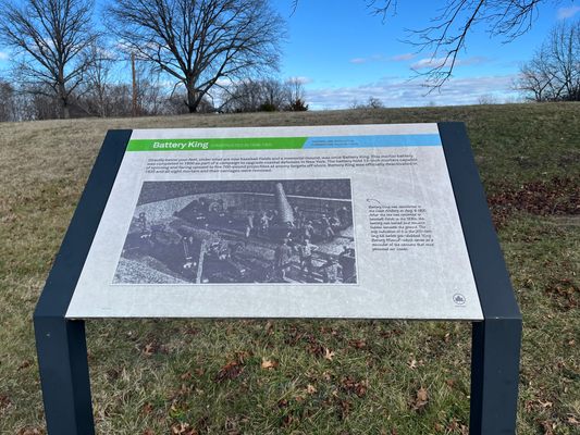
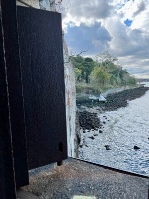
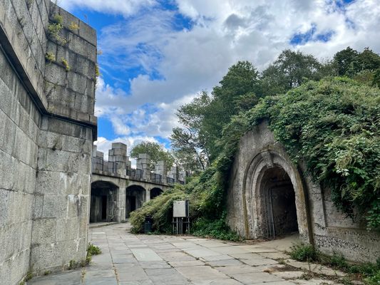
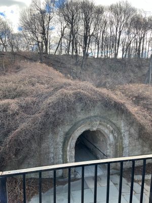
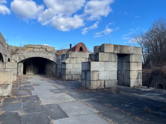
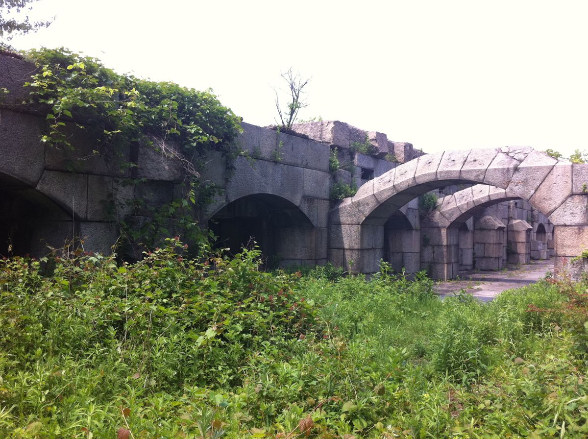
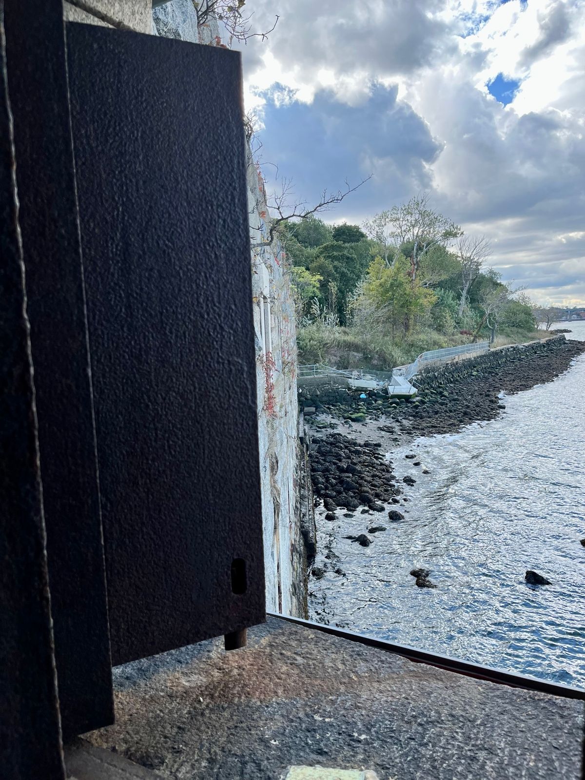
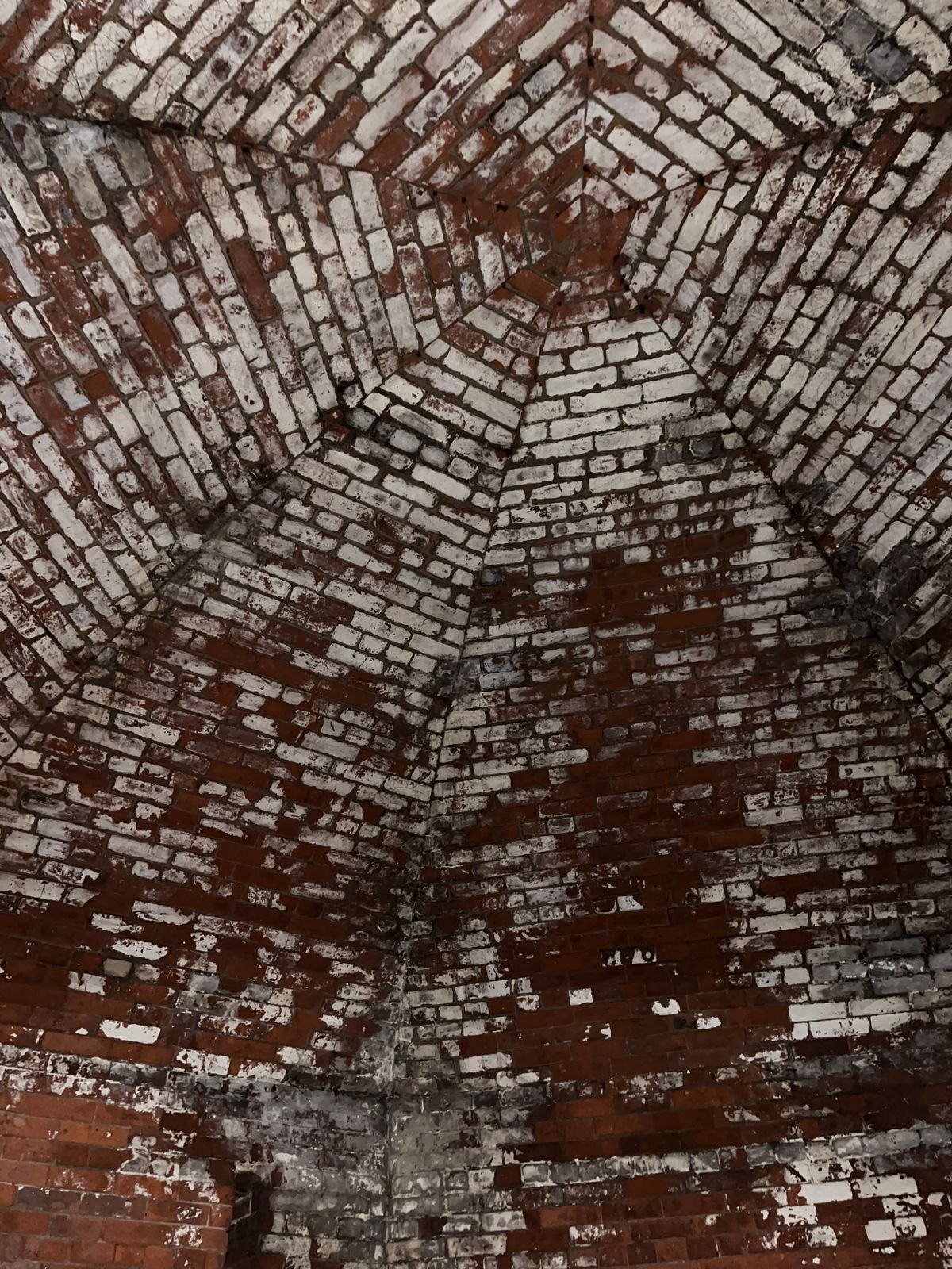
Located in the Bayside area of Queens and built in 1862, the fort was designed to protect against Confederate ships’ approaches to New York via the East River. The fort remained in use until the 1970s, including as a stockpile for Nike missiles and anti-aircraft batteries.
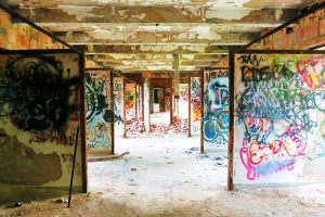
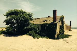
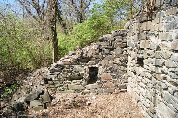
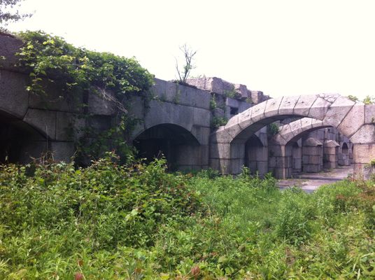
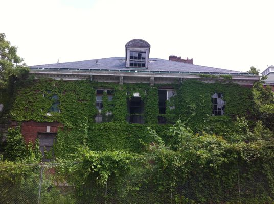
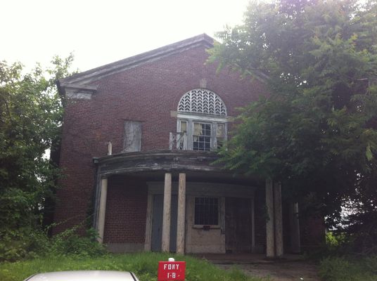
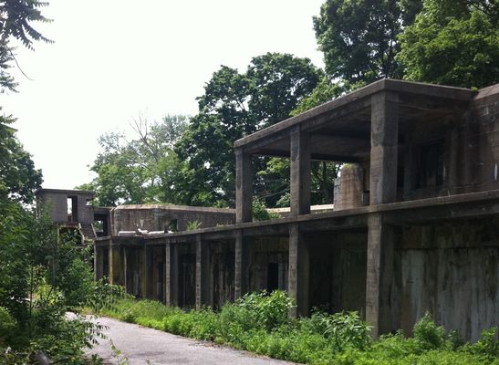
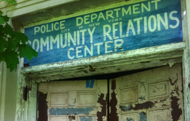
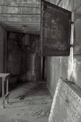
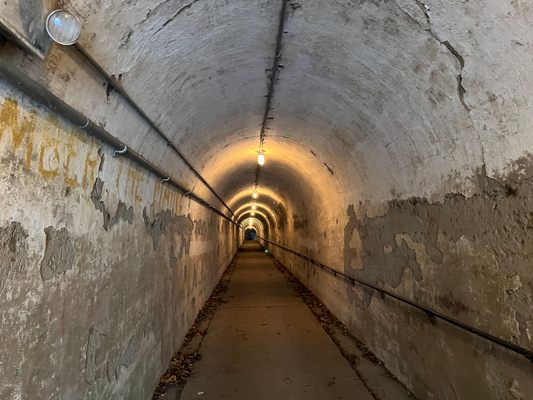
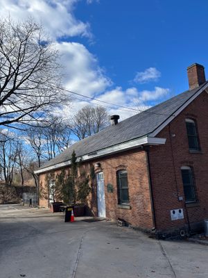
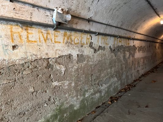
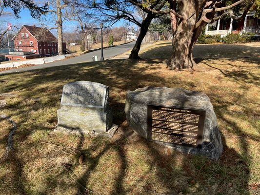
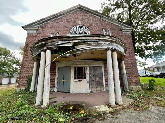
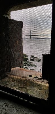
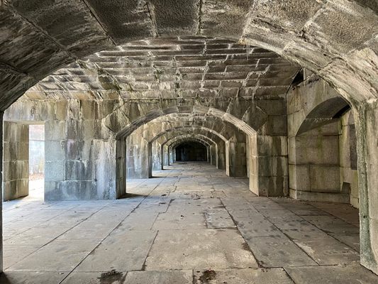
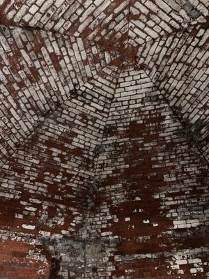
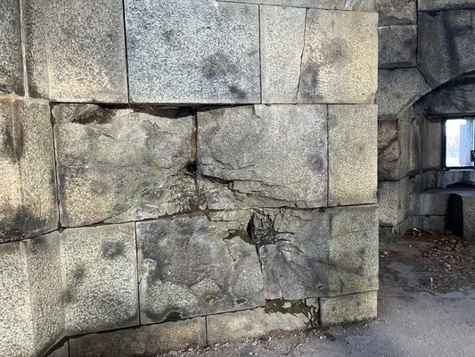
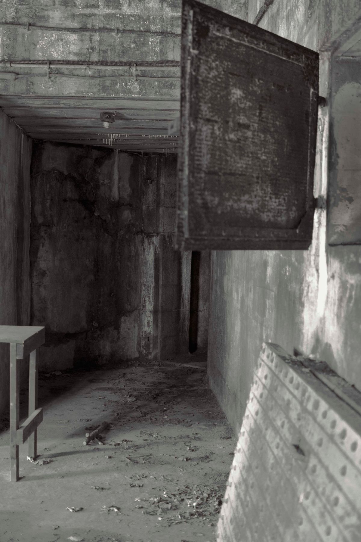
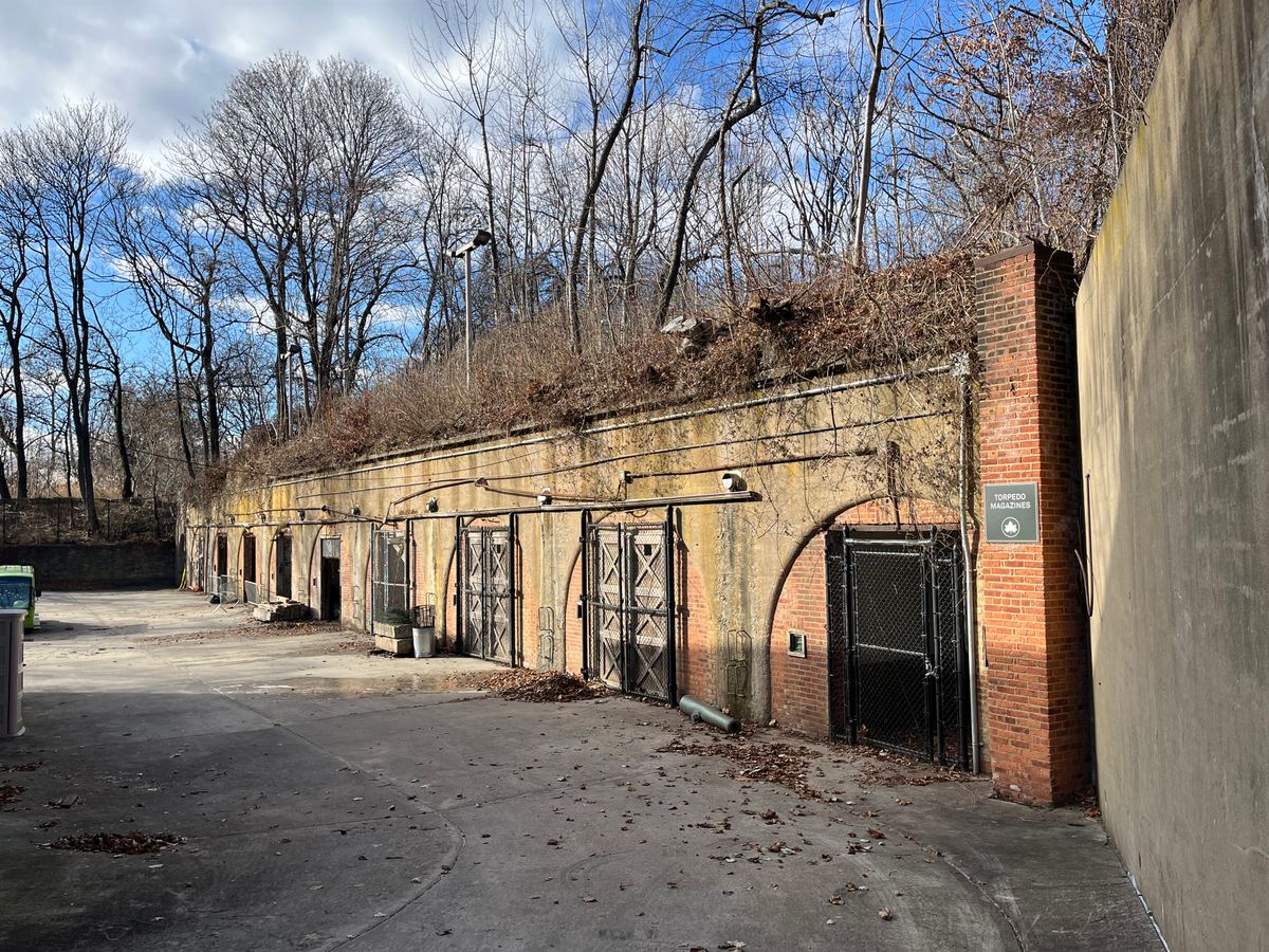
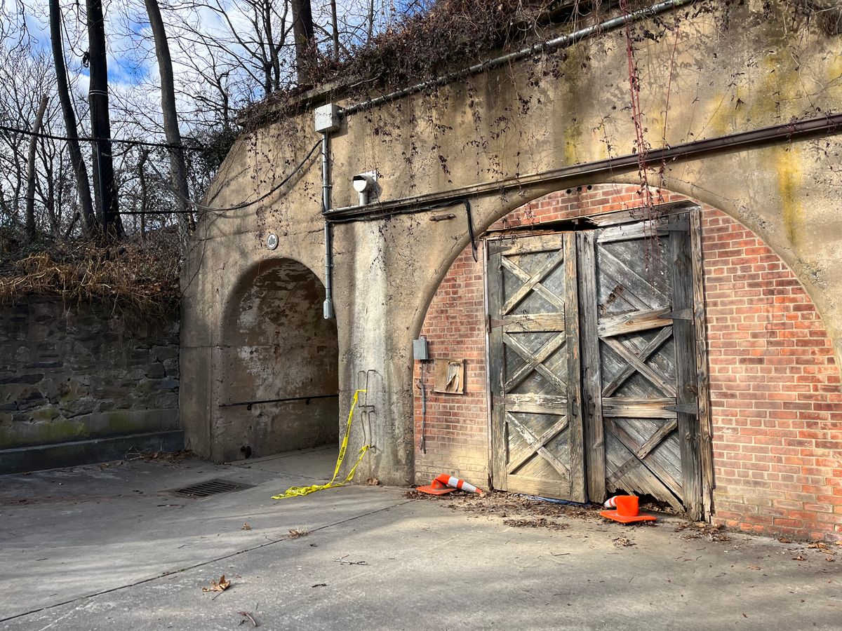
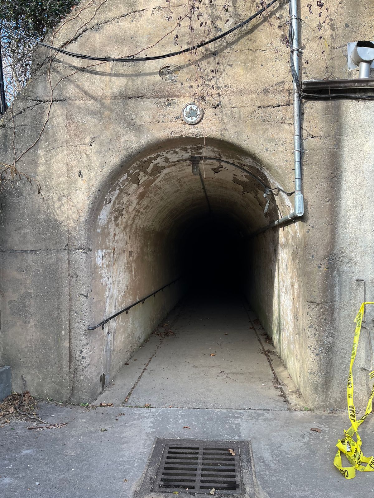
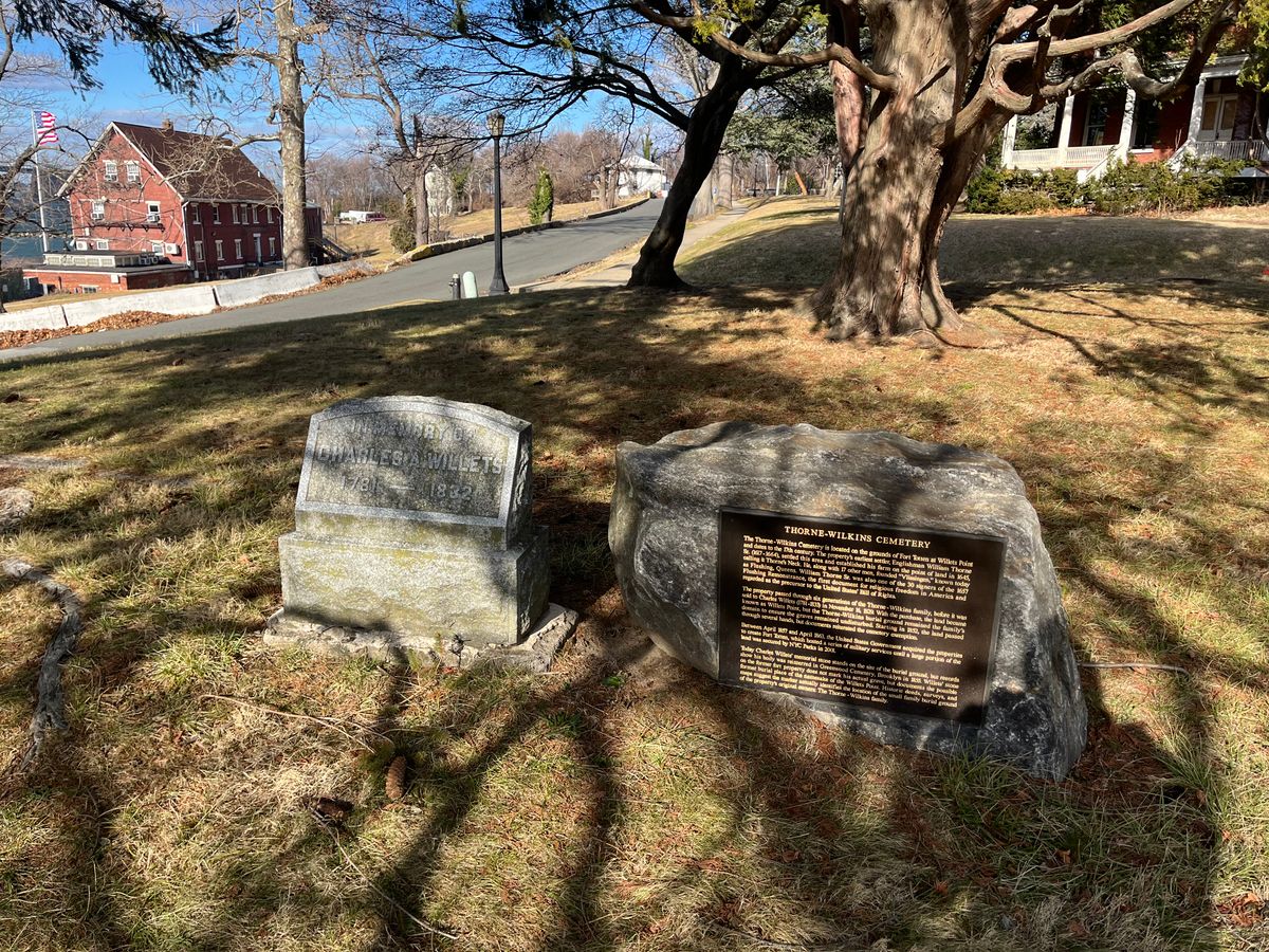
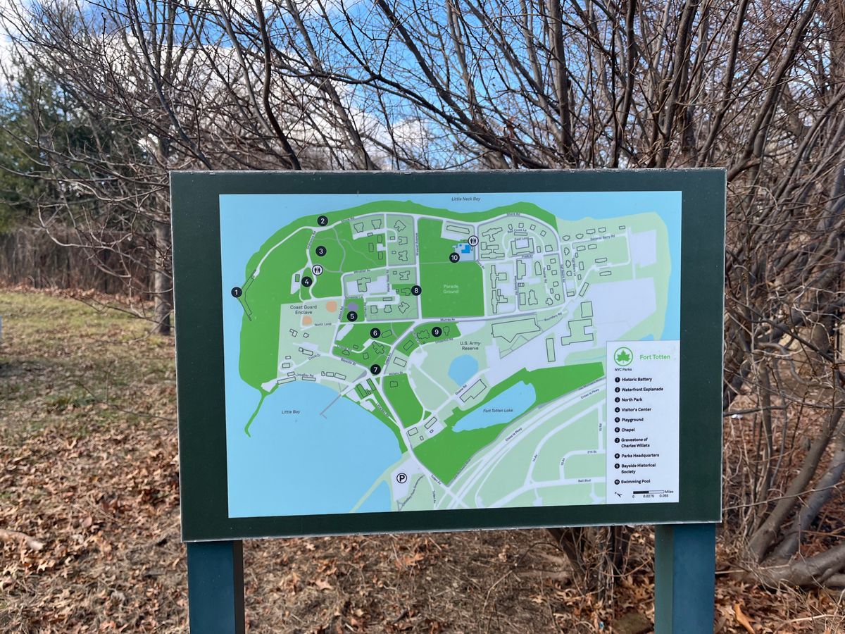
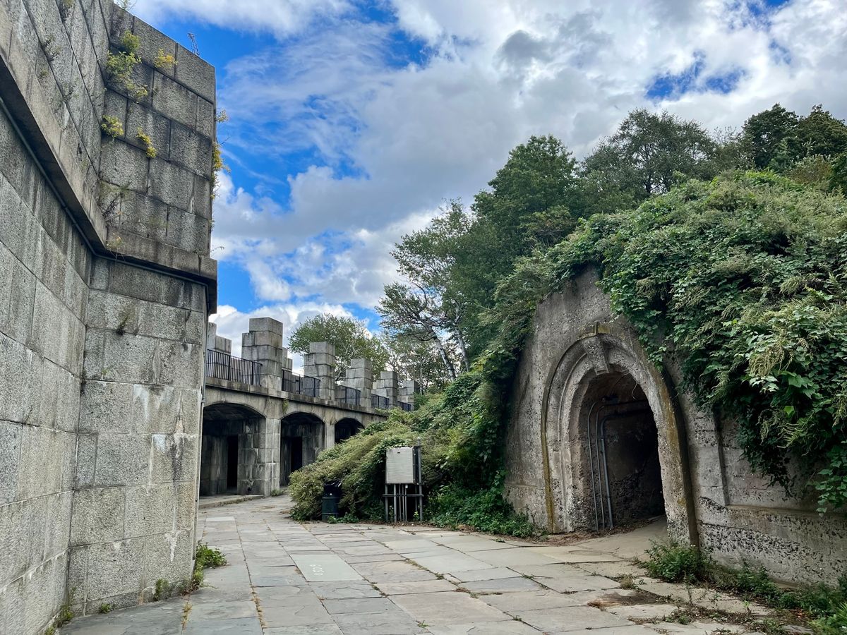
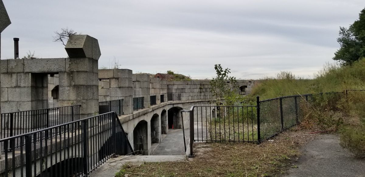
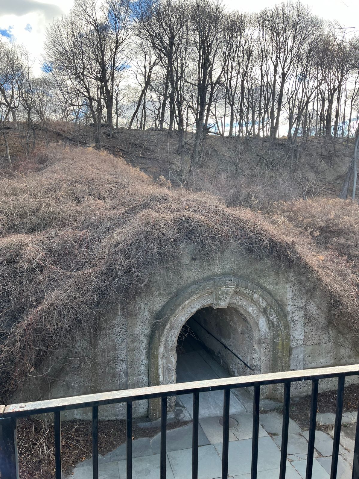
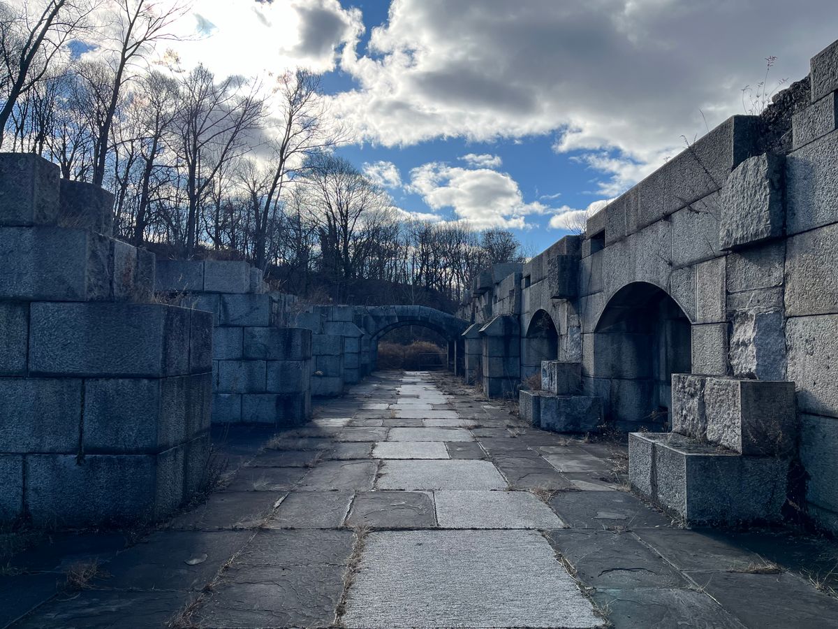
Today the area is a city park, and you are free to wander around and explore a strange and remarkable collection of buildings. The Civil War fortifications lie in ruins and are easily accessible, and there is a small museum in the visitor’s center. Parts of the grounds are still used by the Fire & Police Departments and the Army Reserve, so they remain off limits. It’s common to find troops training behind wire fences, giving the park an Area 51 feel. Alongside these newer buildings lie many dilapidated ruins from the park’s past as an army base. Former officer’s quarters, a movie theatre, laboratories, and hospital were all left abandoned.
In the middle of the park is a beautiful neo-Gothic building called the Castle, which was once used as the officer’s club and is now home to the Bayside Historical Society.
Related Tags
Know Before You Go
Take the 7 to the last stop, Flushing Main Street. Then transfer to the Q16 bus, located on 39th Ave and Union Ave to the last stop, Fort Totten.
Published
December 1, 2013