


About
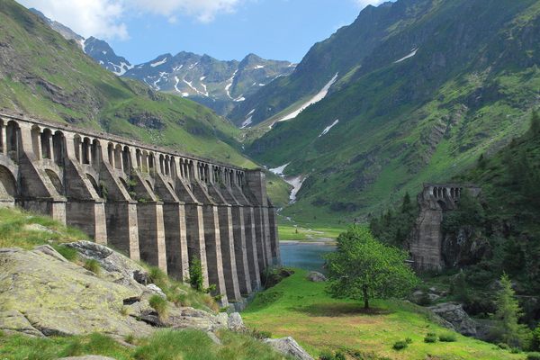
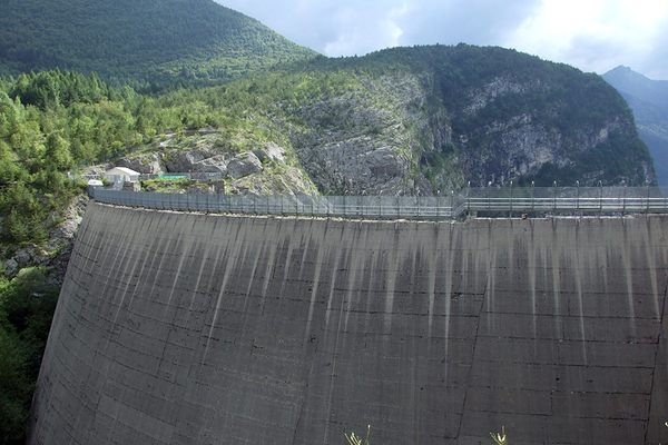
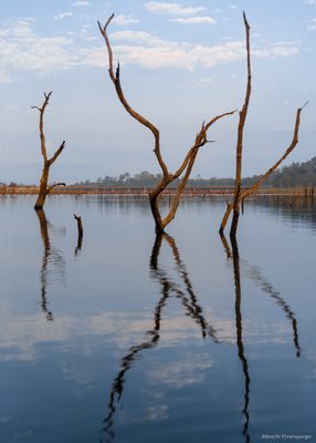
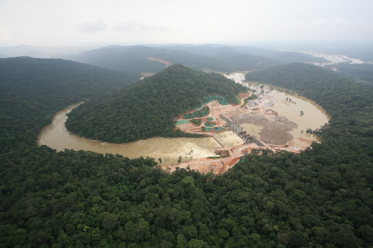
When the Nam Theun 2 hydropower dam was built, communities living along the Nam Theun River in Laos had to give way to the rising waters. More than 6,000 people who lived in the area that became the dam's reservoir were moved to new villages built outside of the affected land.
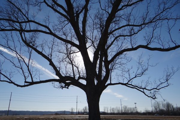
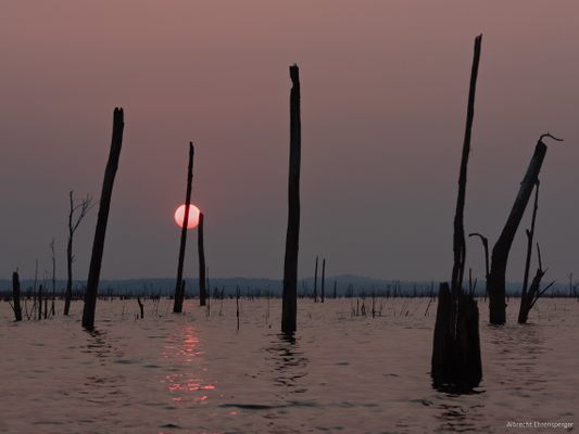
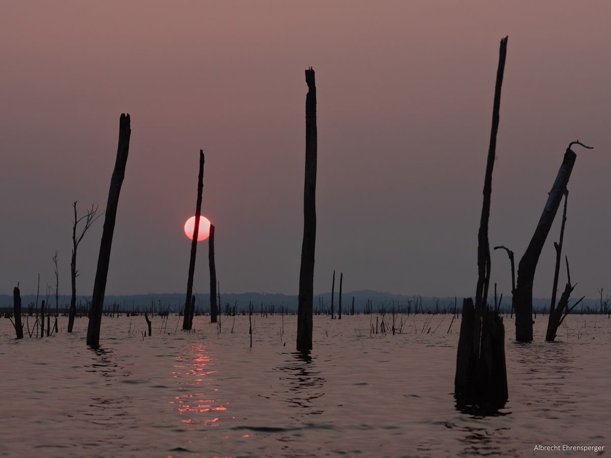
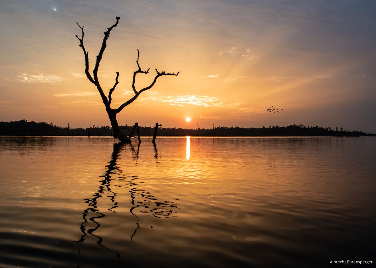
Though the Lao government promised support for the relocated communities, some have said that the government has not followed through. They were told that there would be plenty of fish in the dam to compensate and to provide a livelihood and a source of income. However, forests were flooded as well and the trees left standing. The decaying biomass sucks the oxygen out of the water, hindering the development of the fish population.
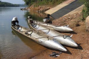
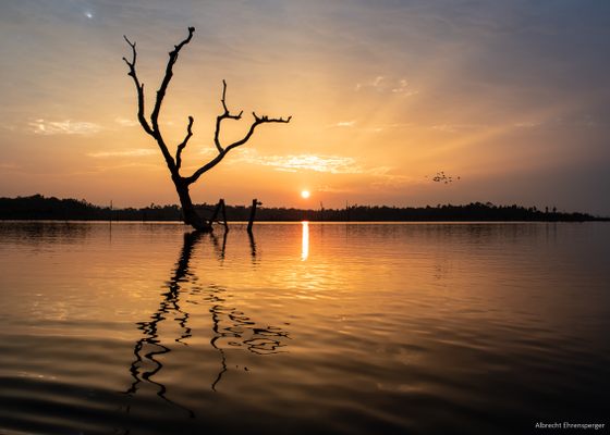
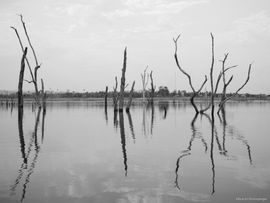
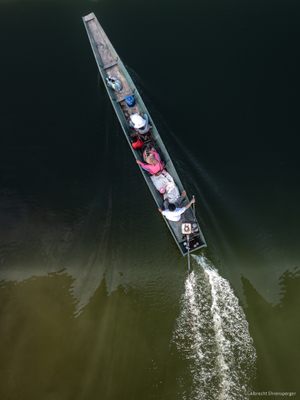
There are several spots around the lake, such as in Nakai and Phosy Thalang (along the road to Laksao), where one can observe the drowned forests of the Nam Theun 2 reservoir. During the rainy season, fog adds an extra layer of mystery to the flooded landscape. In Phosy Thalang, you can rent kayaks to explore the flooded forests on the water or book a boat tour across the lake.
Related Tags
Published
January 16, 2024