


About
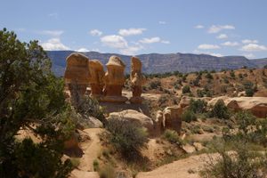
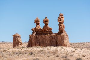
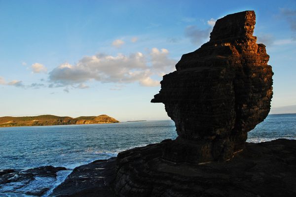
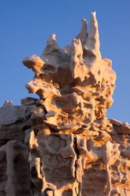
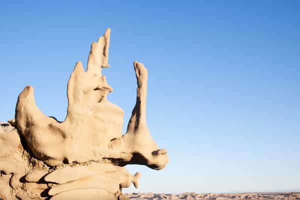
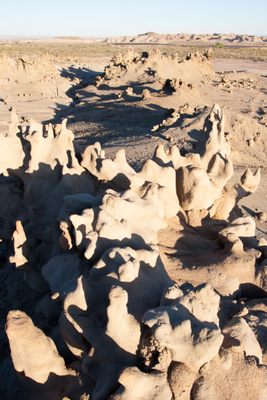
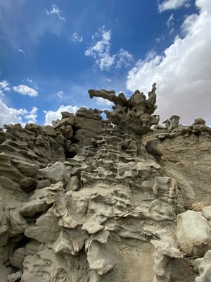
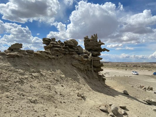
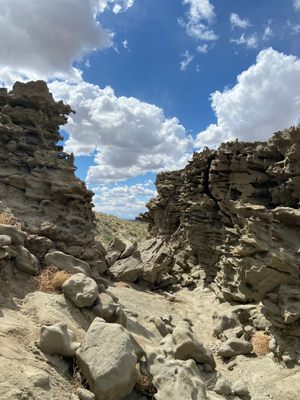
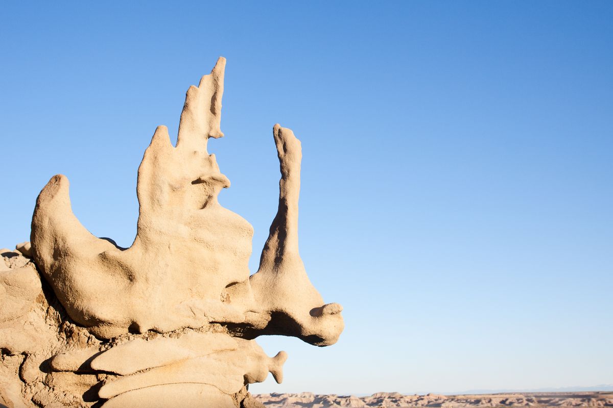
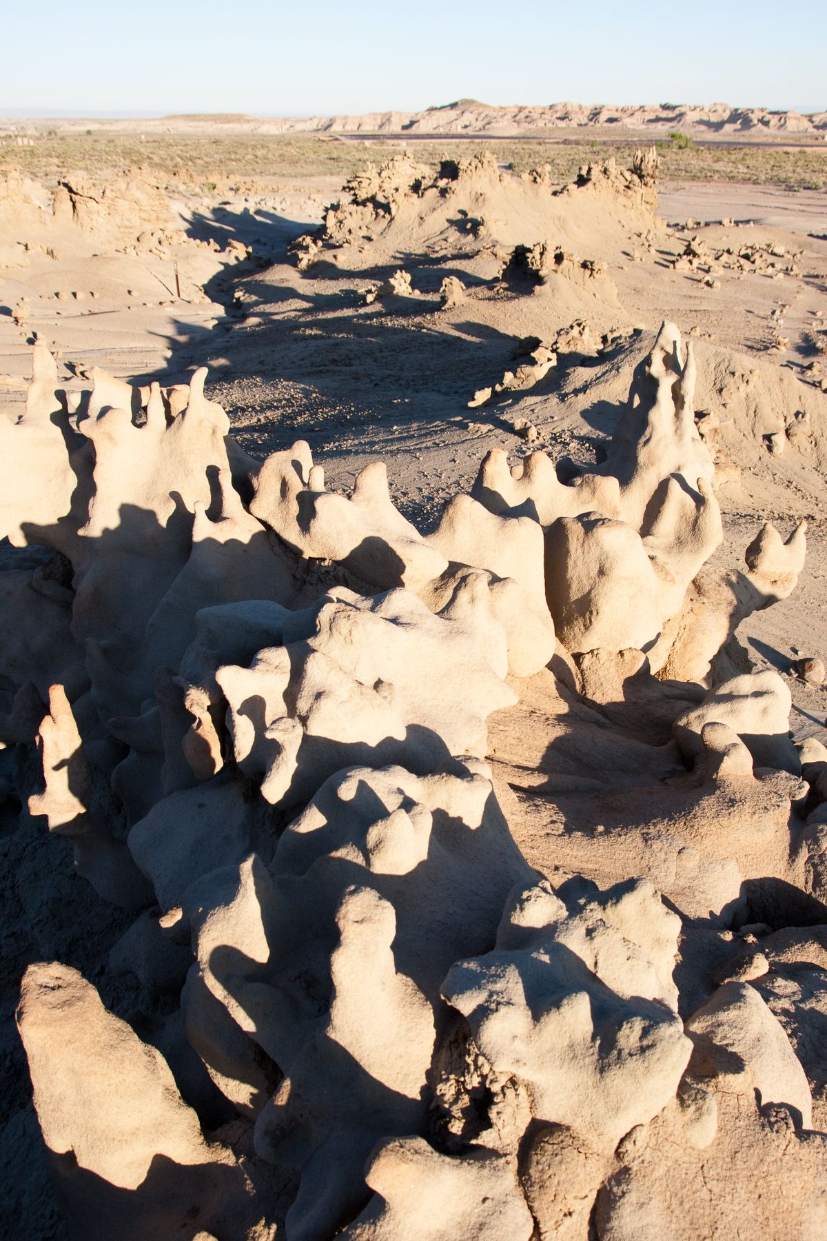
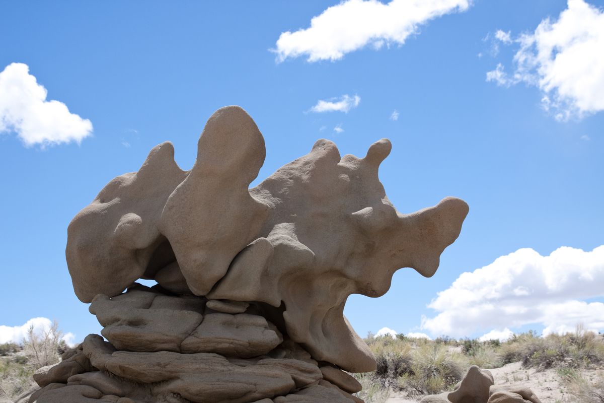
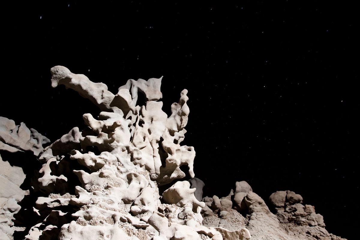
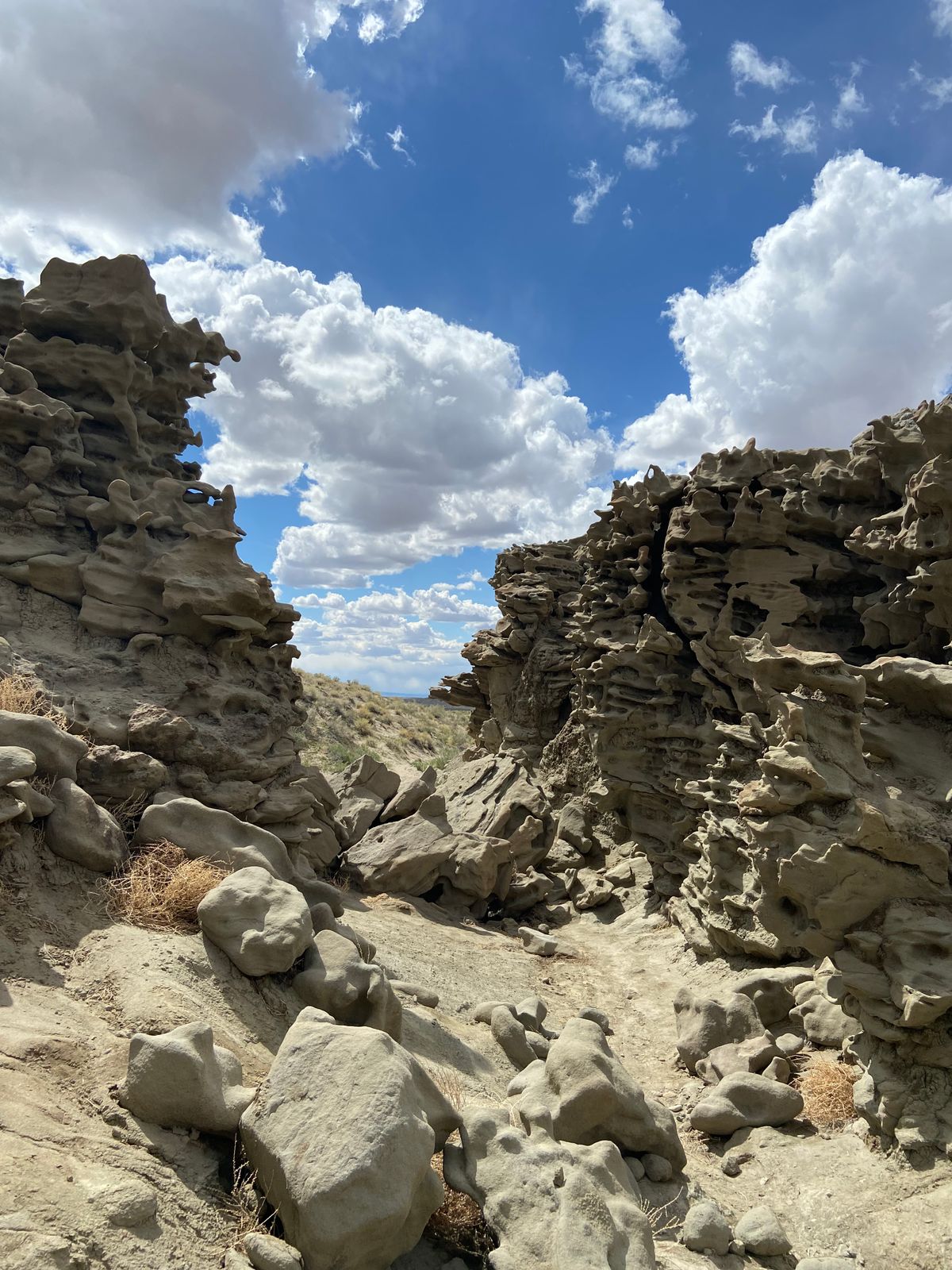
Northeastern Utah is full of interesting rock formations caused by a mix of erosion and porous stone, but none is quite so otherworldly as Fantasy Canyon.
Located about an hour outside of Vernal, Utah, Fantasy Canyon is home to several strange rock formations. While not as large as some of the other desert attractions in the state, the smooth, undulating ridges and loops at Fantasy Canyon seem like they were transported straight from a science-fiction film.
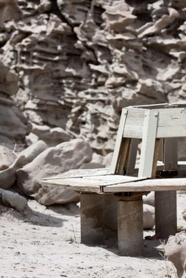
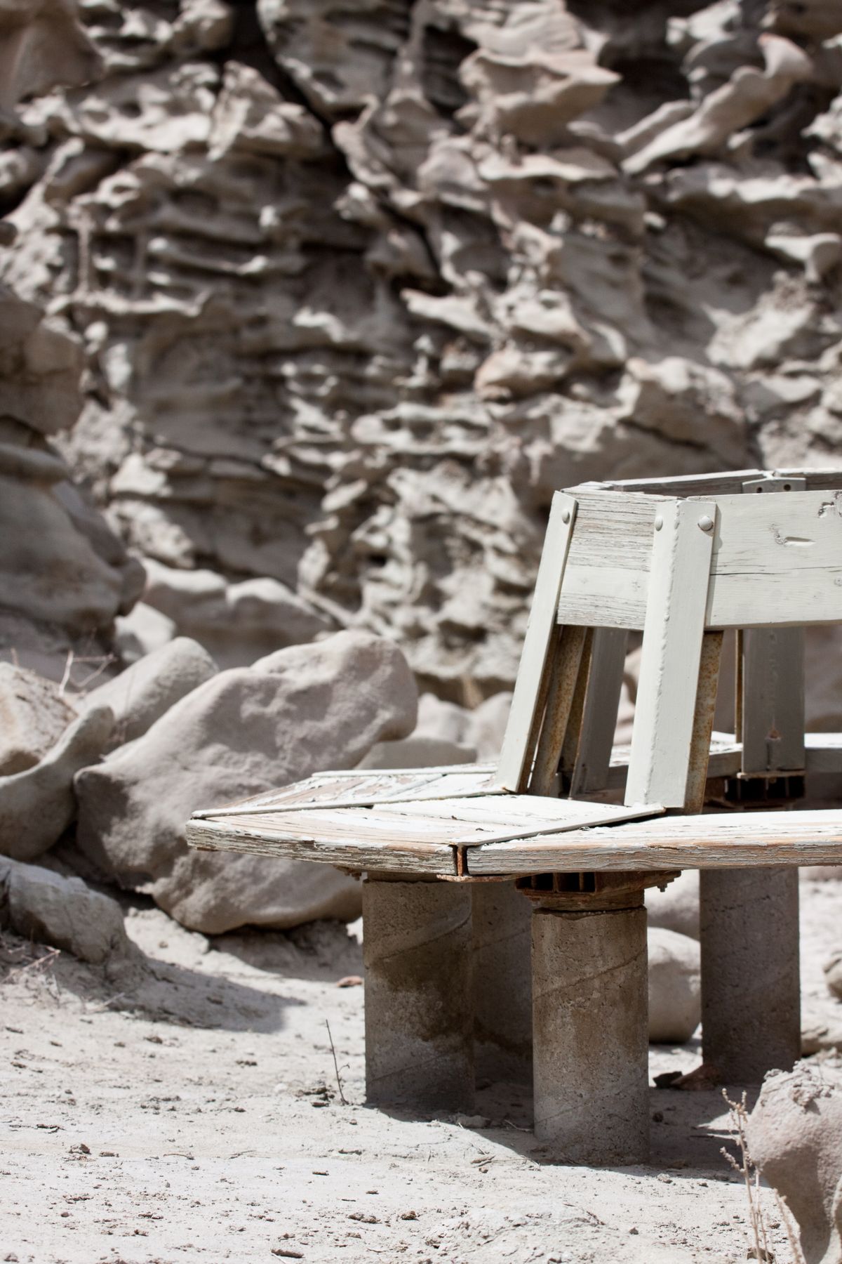
The formations are the product of ancient rivers and lakes that used to cover the area, depositing layers of sand and mud that hardened into rock before being sculpted into mystical shapes by the elements. Visitors can take the short hike into the canyon and have a sit on the single round bench. It's almost like taking a siesta on the surface of Mars.
Related Tags
Know Before You Go
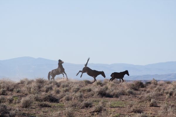
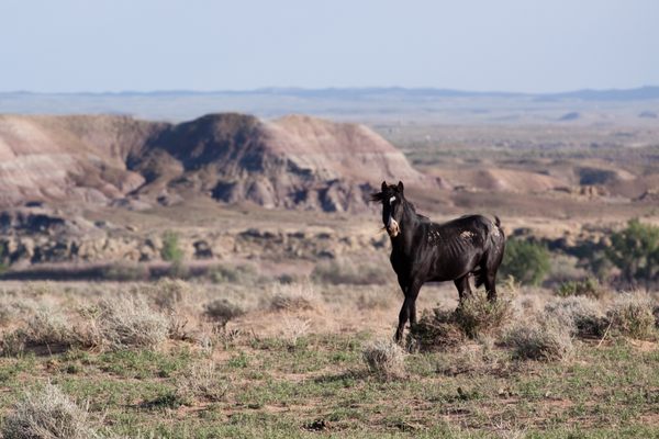
A high-clearance vehicle is recommended, and it is highly advisable to stop by the Utah Visitor Center in Jensen and pick up a map brochure before attempting this trip (also available through USDOI-BLM web site in sources).The journey is into a wasteland of desert and oil fields, and it is relatively easy to get lost out there unless you pay extra special attention to the signs that only appear when entering the area from UT-45. From Vernal take U.S. Route 40 until it curves southeast and then turn right (south) on Utah State Route 45. After crossing the Green River, travel about 13 miles, then turn right onto Glen Bench Road. The BLM signs for Fantasy Canyon begin here.Again, following these signs is the best way to prevent getting lost because this area is a confusing labyrinth of oil company service roads.Once on Glen Bench Road drive 0.3 miles and veer left, staying on the paved road. After about 13 miles take a left (southeast) onto an unpaved road (Watson Road - the road is unpaved in this direction and paved on the opposite, northwest side of the intersection).Go 2.4 miles and veer right, then 0.9 miles and take another right, then 0.5 miles - crossing Red Wash on the way - and turn left, and then after 0.6 miles take a right turn for the final tenth of a mile.Avoid going in rainy weather or if the dirt roads are wet because they are very slick, potholed, and cross washes. Also, this is a gas field buzzing with a high volume of truck traffic and the road is fairly rough, so please drive cautiously.
Community Contributors
Added By
Published
September 9, 2013