


About
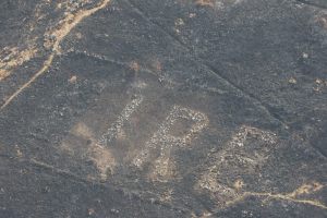
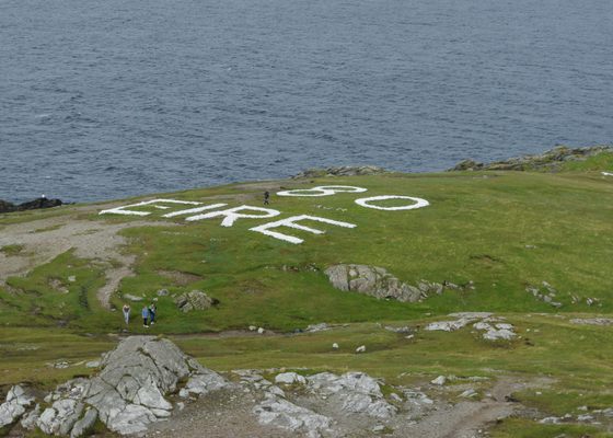
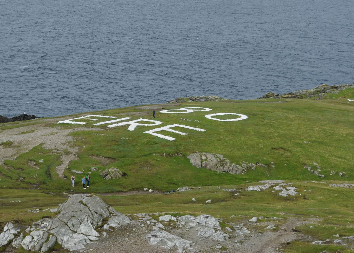
Pilots flying over the most northern tip of Ireland won’t have any trouble figuring out what country lies below them, thanks to the enormous “Eire” sign written on the earth. Interestingly, what seems like a rudimentary welcome sign is actually a relic of World War II.
Ireland maintained a position of neutrality during World War II, as relations between Britain and Ireland had been tumultuous for centuries. But by 1941, relations had improved between the two governments. They reached an agreement, allowing flying boats from an RAF base on Lough Erne to cross a four-mile-long corridor between Belleek in British-controlled Northern Ireland and what was then known as the Irish Free State.
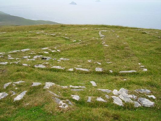
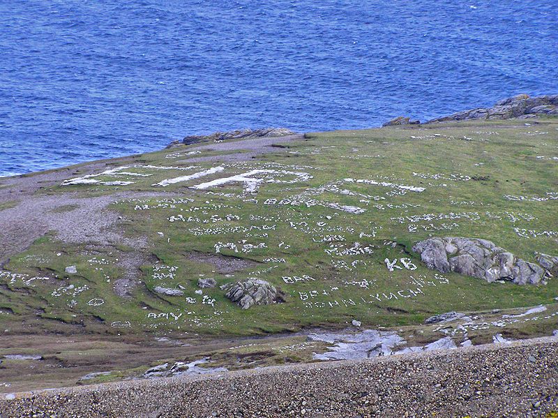
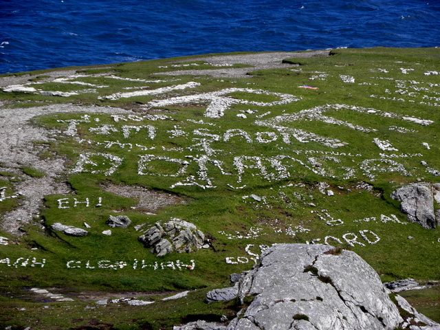
From 1942 onward, numerous large white signs were constructed around the Irish coast indicating the word "Eire" along with the designated number of the lookout station nearby. The stone signs were meant to signal to pilots that they were entering into neutral airspace. But in practice, these signs were extremely useful to the Allies as general navigation aids. They were especially helpful in enabling pilots to avoid accidentally landing in Ireland, which would result in their internment.
While around 85 of these signs were constructed, today they are in various stages of disrepair. However, the sign at Malin Head (lookout post 80), in County Donegal, has recently been restored and serves as a great example of these important wartime waymarkers.
Related Tags
Know Before You Go
The sign at Malin Head is clearly visible in the satellite view on Google Maps.
Published
June 26, 2018