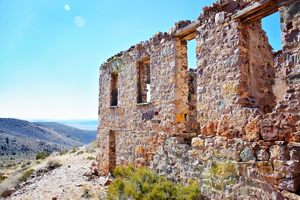
Trips Places Foods Stories Newsletters

Take your next trip with Atlas Obscura!

Our small-group adventures are inspired by our Atlas of the world's most fascinating places, the stories behind them, and the people who bring them to life.

Visit Adventures
Trips Highlight
Puglia Italy - Matera
Italy • 8 days, 7 nights
Southern Italy: Castles, Caves & Coastal Treasures in Puglia
from
Turkmenistan Gates of Hell Darvaza crater
Turkmenistan • 10 days, 9 nights
Turkmenistan & the Gates of Hell
from
View all trips
Top Destinations
Latest Places
Most Popular Places Random Place Lists Itineraries
Add a Place
Download the App
Top Destinations
View All Destinations »

Countries

  • Australia
  • Canada
  • China
  • France
  • Germany
  • India
  • Italy
  • Japan

Cities

  • Amsterdam
  • Barcelona
  • Beijing
  • Berlin
  • Boston
  • Budapest
  • Chicago
  • London
  • Los Angeles
  • Mexico City
  • Montreal
  • Moscow
  • New Orleans
  • New York City
  • Paris
  • Philadelphia
  • Rome
  • San Francisco
  • Seattle
  • Stockholm
  • Tokyo
  • Toronto
  • Vienna
  • Washington, D.C.
Latest Places
View All Places »
Pinal Airpark
Note the chrysanthemum crests.
Hachiman Bridge
Clarendon War Memorial.
Clarendon War Memorial
This fried chicken is one of Bangkok’s most famous.
Gai Tord Jae Kee
Latest Places to Eat & Drink
View All Places to Eat »
Order a flight of infused ya dong shots.
Tep Bar
Thai-Chinese makes up Bangkok’s largest diaspora.
Nai Ek Roll Noodle
This fried chicken is one of Bangkok’s most famous.
Gai Tord Jae Kee
Chefs Aruss Lerlerstkull and Atcharaporn Kiatthanawat lean into regional traditions.
Charmgang
The khao soi at Gedhawa comes with a rich, coconutty broth.
Gedhawa
Recent Stories
All Stories Video Podcast
Most Recent Stories
View All Stories »
Haleakalā National Park’s summit region, shrouded in the pre-dawn fog.
Beware the Legends Behind These National Park Souvenirs
7 days ago
For Aguilar-Carrasco, nature is a powerful reminder of the interconnectedness of all life.
How Can National Parks Be Made Accessible to All? AO Wants to Know.
8 days ago
Podcast: Finding ‘The Great Gatsby’ in Louisville
9 days ago
Here’s which treats you can safely lug home without risking a fine.
Dear Atlas: What International Food Can I Legally Bring Into the U.S.?
10 days ago

No search results found for
“”

Make sure words are spelled correctly.

Try searching for a travel destination.

Places near me Random place

Popular Destinations

  • Paris
  • London
  • New York
  • Berlin
  • Rome
  • Los Angeles
Trips Places Foods Stories Newsletters
Sign In Join
Places near me Random place
All the United States Nevada Delamar Dry Lake
AO Edited

Delamar Dry Lake

This dry lake bed was once an emergency landing strip for military and experimental aircraft.

Nevada

Added By
slgwv
Email
Been Here
Want to go
Added to list
Deep ruts on the old emergency airstrip, looking slightly east of due north.   slgwv / Atlas Obscura User
Ruts on the old emergency airstrip, looking slightly east of due north. Black Point at extreme left.   slgwv / Atlas Obscura User
Deep ruts on the old emergency airstrip, looking slightly west of due south.   slgwv / Atlas Obscura User
View southwesterly off the road in from the south.   slgwv / Atlas Obscura User
View northwesterly. Black Point at extreme right.   slgwv / Atlas Obscura User
View southeasterly.   slgwv / Atlas Obscura User
Looking east over Delamar Lake, from the low island in the west of the lakebed. Black Point in the center of the picture.   slgwv / Atlas Obscura User
Looking southeasterly over Delamar Lake, from the low island in the west of the lakebed.   slgwv / Atlas Obscura User
View southward over Delamar Lake from Black Point. The lighting makes the dry mud look like water. The only actual water is in the channel in the foreground.   slgwv / Atlas Obscura User
Muddy road at the north end of Delamar Lake, by Black Point.   slgwv / Atlas Obscura User
Looking north along the powerlines on the road coming into the playa.   slgwv / Atlas Obscura User
Black Point.   slgwv / Atlas Obscura User
Powerlines along the road coming in from the south. Looking north.   slgwv / Atlas Obscura User
Fence around spring at the west side of Delamar Lake. Note cattle in the distance.   slgwv / Atlas Obscura User
An X-15 parked on a dry lakebed in 1961, probably Rogers Dry Lake at Edwards Air Force Base in California.   NASA
Ruts on the old emergency airstrip, looking slightly east of due north.   slgwv / Atlas Obscura User
Ruts on the old emergency airstrip, looking slightly west of due south.   slgwv / Atlas Obscura User
Been Here
Want to go
Added to list

About

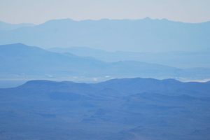
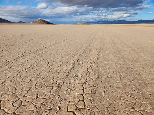
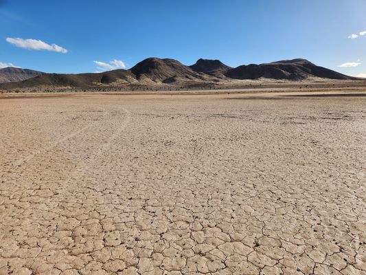
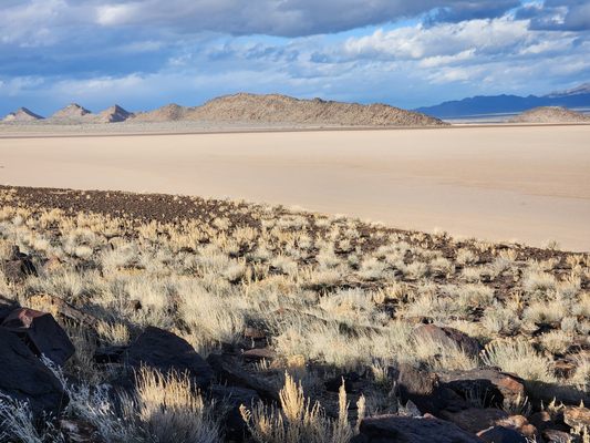
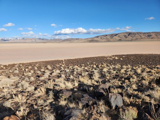
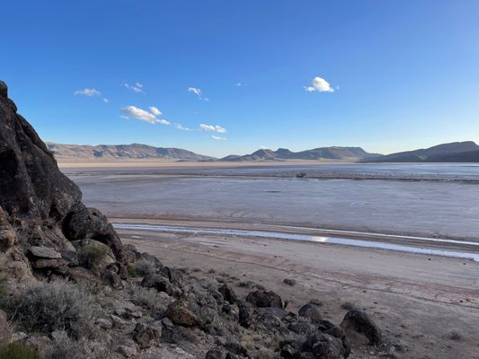
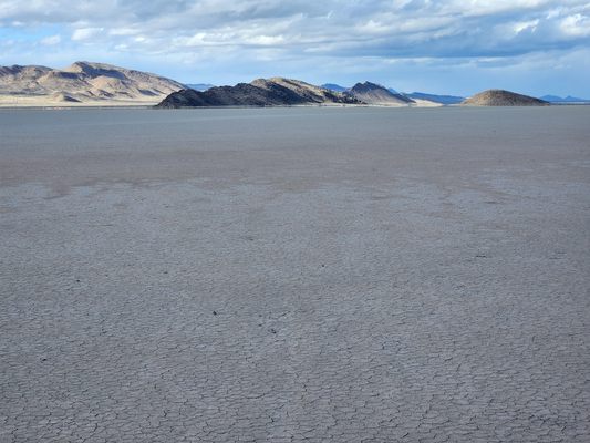
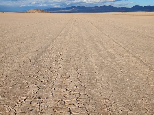
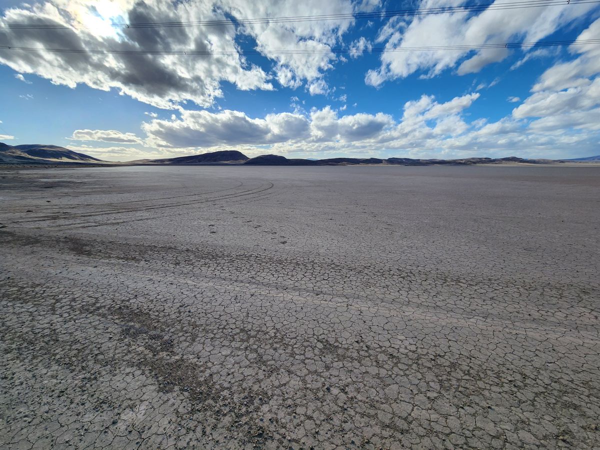
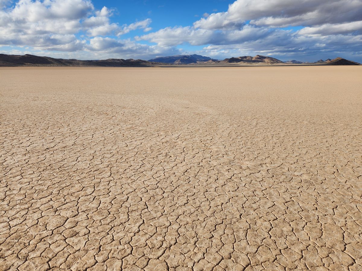
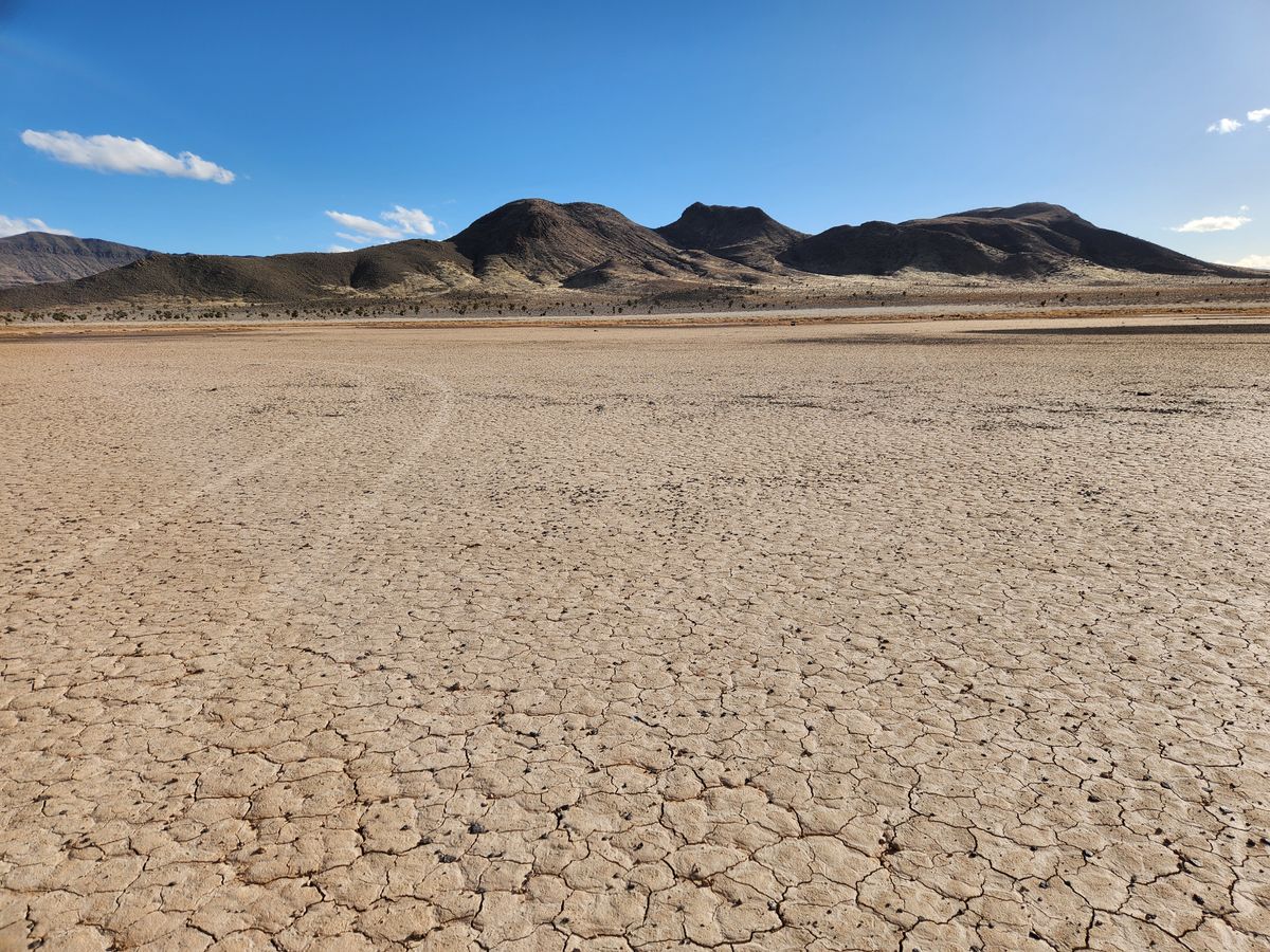
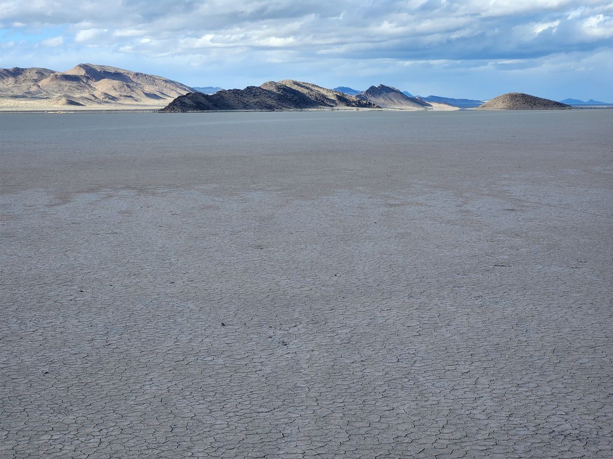
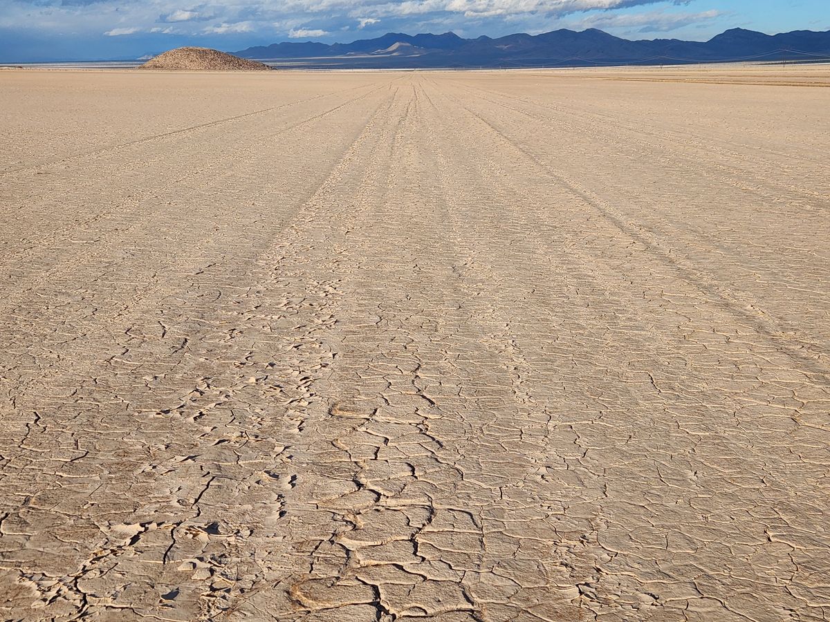
Desert dry lake beds (also commonly called "playas," from the Spanish for "beach") are among the flattest and most extensive natural surfaces on Earth. Since the early 20th century, their flatness and extent have been exploited as courses for high-speed wheeled vehicles, such as with the land-speed records set on the Bonneville Salt Flats.

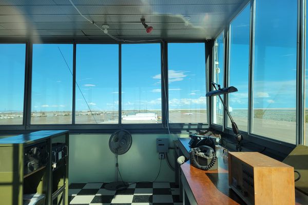
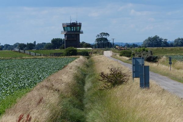
They also can serve as runways for aircraft, and were early used as emergency landing sites. Delamar Dry Lake, in particular, sits just north of what was to become the Nellis Bombing and Gunnery Range, and was designated an emergency landing site for military aircraft in 1943 during training for World War II.

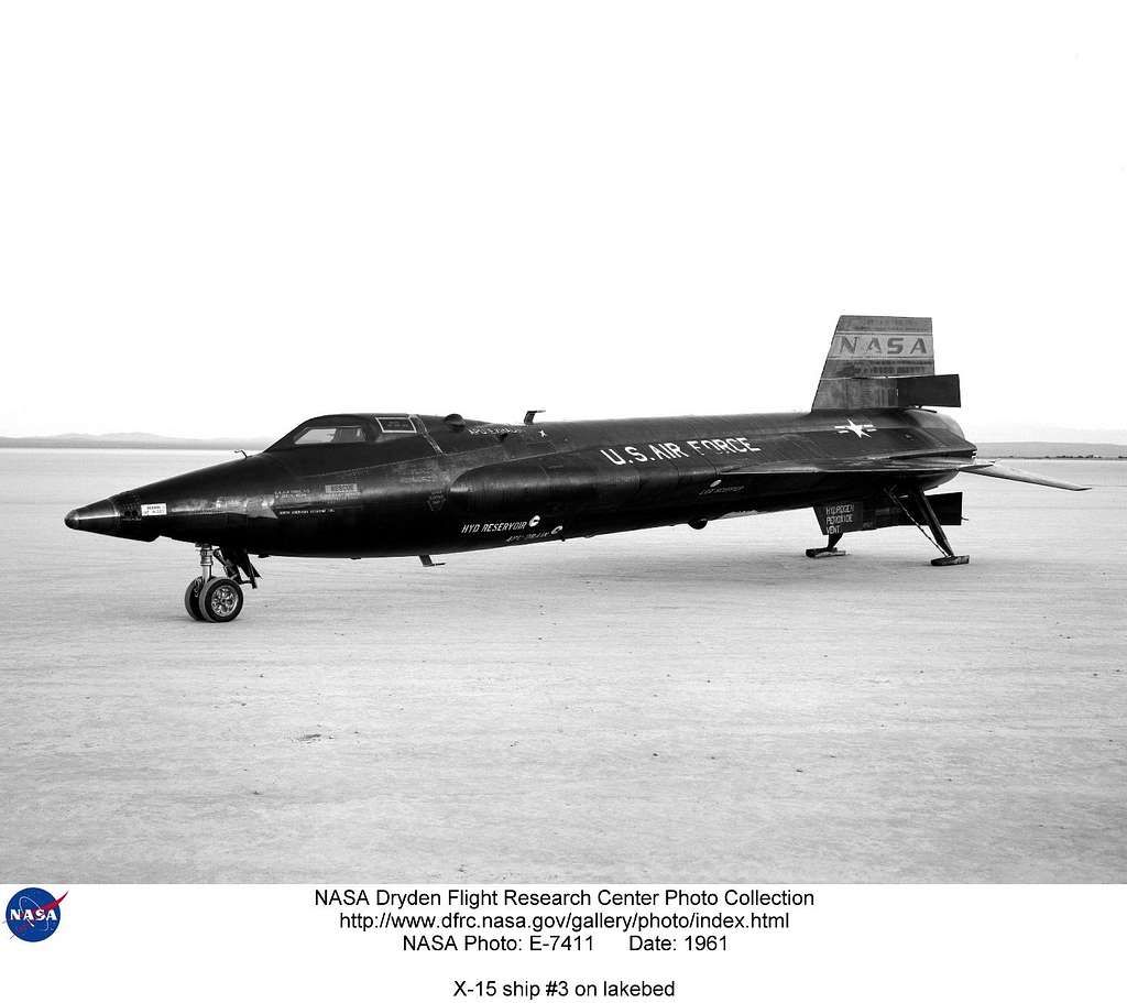
Then came the X-15 rocket plane. This program is almost forgotten now, but it was the first venture into hypersonic flight with a crewed, winged aircraft to the edge of space. In fact, the Space Shuttle owes more to the X-15 program than to the Mercury through Apollo space capsule programs. The X-15 made nearly 200 flights from 1959 through 1968, setting some speed and altitude records that still stand, and several of the test pilots later received astronaut wings. (One of the test pilots was a then-unknown Neil Armstrong.)

The X-15 was carried to altitude under the wing of a modified B-52. When it was released the rocket engine would be fired and the mission would begin. The B-52 would take off from Edwards Air Force Base in California to various release points ("drop zones") over California and Nevada.

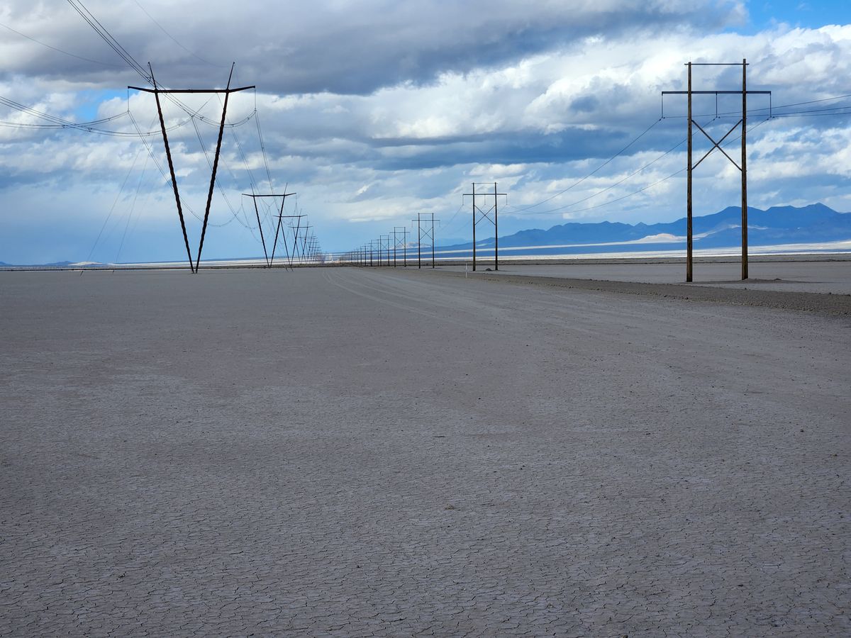
Emergency landing sites were especially important to the program, in case the rocket plane could not return to Edwards, and so some 50 dry lakes in California, Nevada, and Utah were surveyed as possibilities. They had to have exceptionally hard surfaces and be exceptionally long—Delamar Dry Lake fit the bill here too.

In May 1962, Armstrong landed a F-104 Starfighter chase plane on Delamar Dry Lake, in support of an X-15 mission, but the landing gear was damaged and he had to divert to Nellis Air Force Base outside Las Vegas. In May 1966, Delamar Dry Lake was used as an emergency landing site for X-15 flight 1-63-04 when the craft had engine failure.

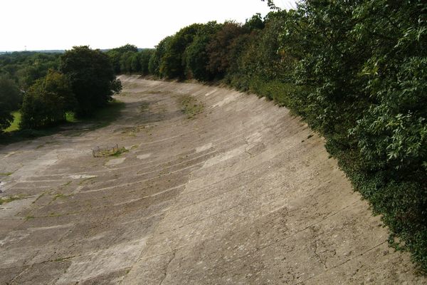
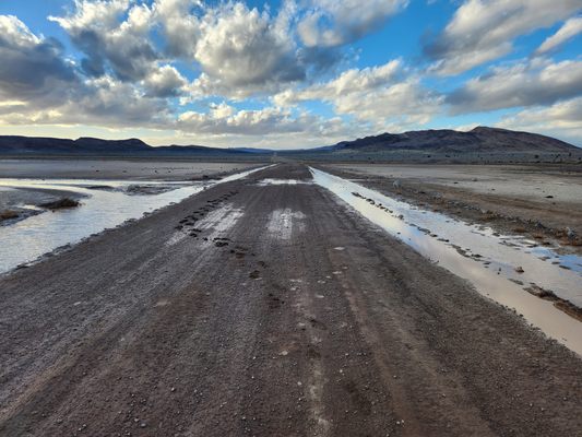
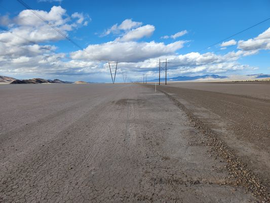
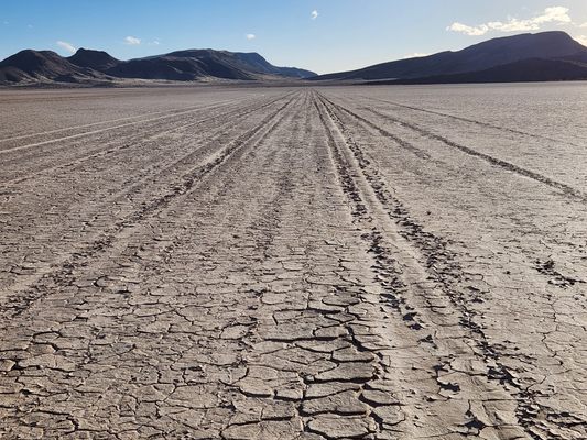
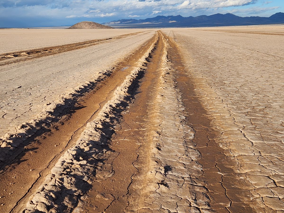
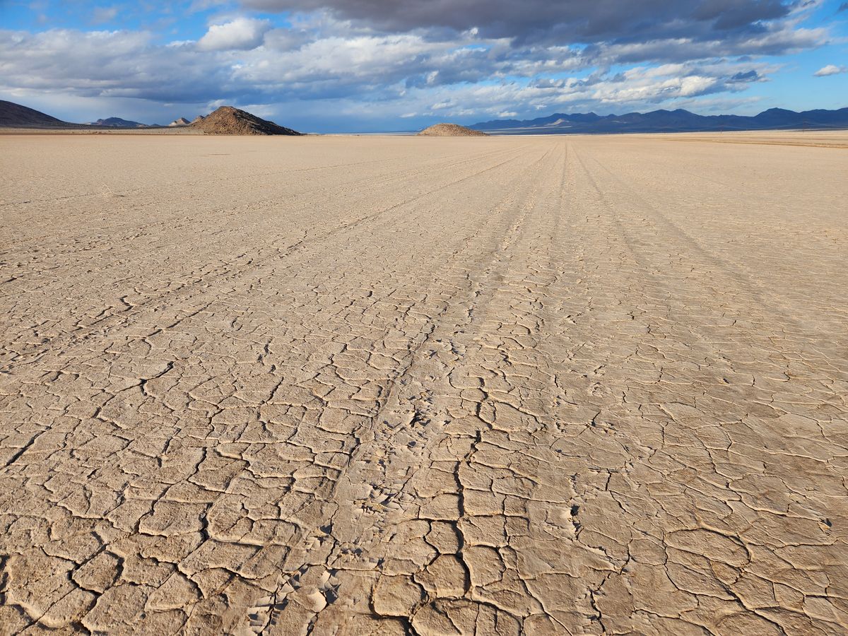
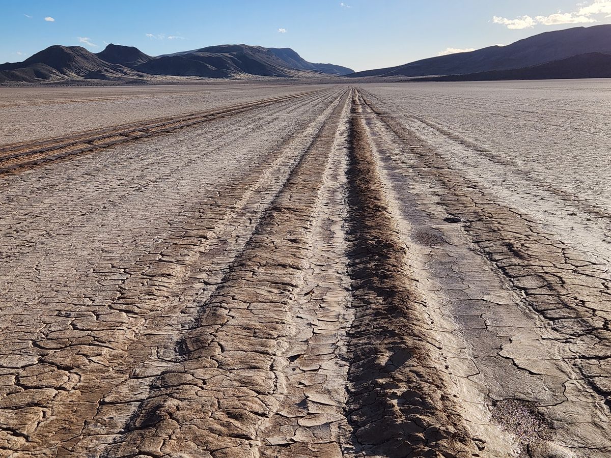
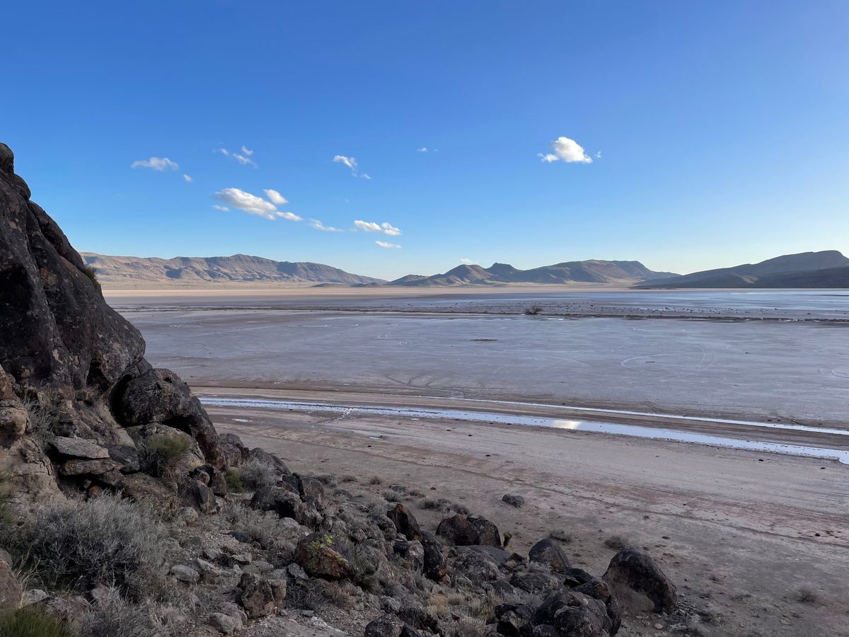
The playa is no longer maintained as a designated emergency site. The old runway is now deeply rutted along its length, and would require significant refurbishment to make an acceptable airstrip.

Related Tags

Military History World War Ii Aircraft Lakes Geology

Know Before You Go

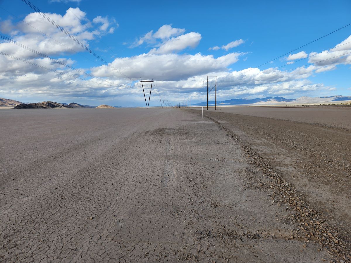
Delamar Dry Lake is accessible to the public with no restrictions and can be reached after a long stretch on graded roads. The main road along Delamar Valley, which crosses the playa on the eastern edge, can be used. The distance is much shorter (about 10.7 miles) from its junction with US-93 to the south, at about 37.2009 N, 115.0455 W. However, this part of the road is very rough—high clearance will be required and 4wd is likely to be appreciated.

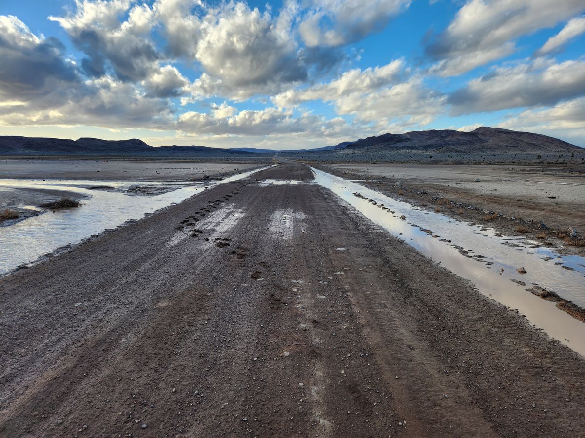
The graded road that comes from US-93 to the west (junction at about 37.33323 N, 115.13982 W) through Alamo Canyon can also be used. It crosses the north end of the playa by Black Rock Point, about 13.3 miles from the turnoff, and intersects the Delamar Valley road 1.1 miles farther on, at about 37.33302 N, 114.92301 W. It is somewhat smoother but high clearance is still strongly recommended. As noted below it is also usually muddy by Black Rock Point.

It is permitted to drive out onto the playa, but to do so safely the lakebed must be utterly dry. It doesn't take much water to mire a vehicle up to the axles, at which point you will be stranded very far from any assistance (do not count on cell service in the area). Furthermore, recovery of a vehicle in this predicament will be very expensive.

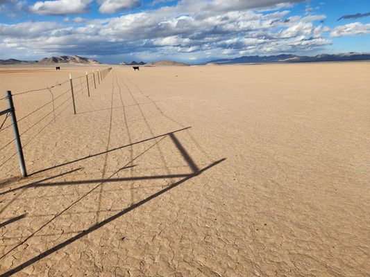
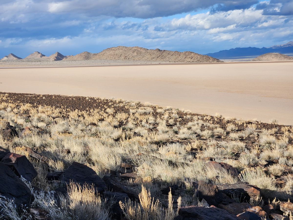
There are springs on the east and west edges of the dry lake, and by Black Rock Point, so these places can be assumed always to be muddy; take care accordingly.

There are a few petroglyphs at Black Rock Point; please treat them respectfully.

Community Contributors

Added By

slgwv

Published

July 2, 2024

Edit this listing

Make an Edit
Add Photos
Sources
  • Jenkins, Dennis R. Hypersonics Before the Shuttle: A Concise History of the X-15 Rocket Plane, Monographs in Space History 18, NASA SP-2000-4518, 2000.
Delamar Dry Lake
Nevada
United States
37.318857, -114.948729

Nearby Places

Delamar Ghost Town

Caliente, Nevada

miles away

Alien Research Center

Hiko, Nevada

miles away

Tikaboo Peak

Alamo, Nevada

miles away

Explore the Destination Guide

Photo of Nevada

Nevada

United States

Places 265
Stories 24

Nearby Places

Delamar Ghost Town

Caliente, Nevada

miles away

Alien Research Center

Hiko, Nevada

miles away

Tikaboo Peak

Alamo, Nevada

miles away

Explore the Destination Guide

Photo of Nevada

Nevada

United States

Places 265
Stories 24

Related Places

  • The interior of the Control Tower is still undergoing work. Note the row of hangars in the background in this eastward view.

    Wendover, Utah

    Historic Wendover Airfield

    This pristine World War II airfield gives a comprehensive look at atomic development and aviation history.

  • F14 Fighter Jet

    Alameda, California

    USS Hornet Sea, Air and Space Museum

    After serving in World War II and picking up Apollo astronauts, this aircraft carrier has been turned into a museum overlooking the San Francisco Bay.

  • Zephyrhills, Florida

    Zephyrhills Museum of Military History

    This facility, now a museum, once housed and trained U.S. Army Air Force pilots who flew during the Allied invasion of Normandy.

  • Schorfheide, Germany

    Finowfurt Aviation Museum

    This former Soviet military base has over 10 original aircraft and an enormous amount of memorabilia on display.

  • Glasgow, Scotland

    Spitfire LA198

    An icon of the Battle of Britain is frozen in flight in a grand Victorian museum.

  • The WWII planes lie within the jungle around the abandoned runway.

    Talasea, Papua New Guinea

    Talasea Airstrip

    Two World War II aircraft lie within the jungle around this abandoned runway.

  • The members banking.

    Weybridge, England

    Brooklands Racetrack Remains

    The world's first purpose-built motor racetrack was destroyed by the outbreak of two world wars.

  • The tower.

    Friskney, England

    RAF Wainfleet Control Tower

    The control tower at the historic weapons range is now available as a highly unusual vacation rental.

Aerial image of Vietnam, displaying the picturesque rice terraces, characterized by their layered, verdant fields.
Atlas Obscura Membership

Become an Atlas Obscura Member


Join our community of curious explorers.

Become a Member

Get Our Email Newsletter

Follow Us

Facebook YouTube TikTok Instagram Pinterest RSS Feed

Get the app

Download the App
Download on the Apple App Store Get it on Google Play
  • All Places
  • Latest Places
  • Most Popular
  • Places to Eat
  • Random
  • Nearby
  • Add a Place
  • Stories
  • Food & Drink
  • Itineraries
  • Lists
  • Video
  • Podcast
  • Newsletters
  • All Trips
  • Family Trip
  • Food & Drink
  • History & Culture
  • Wildlife & Nature
  • FAQ
  • Membership
  • Feedback & Ideas
  • Community Guidelines
  • Product Blog
  • Unique Gifts
  • Work With Us
  • About
  • FAQ
  • Advertise With Us
  • Advertising Guidelines
  • Privacy Policy
  • Cookie Policy
  • Terms of Use
Atlas Obscura

© 2025 Atlas Obscura. All Rights Reserved.