About
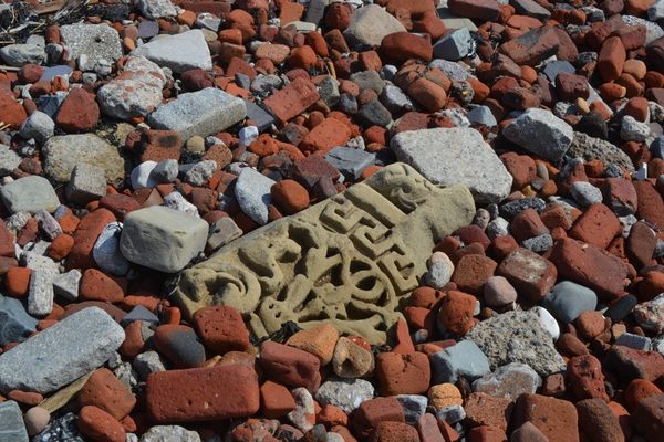
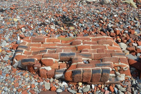
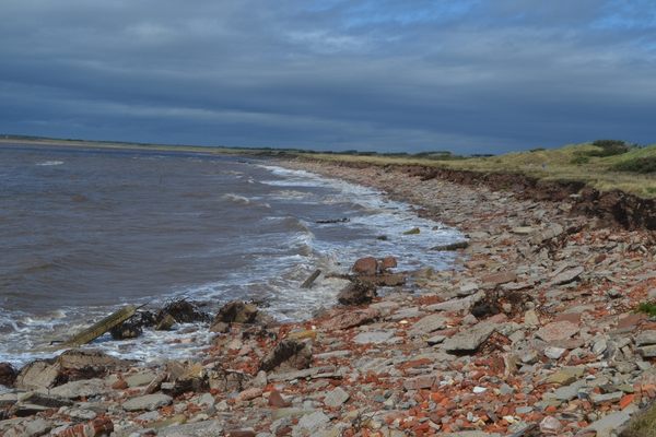
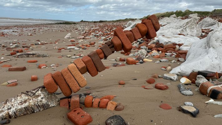
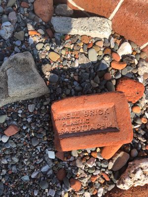
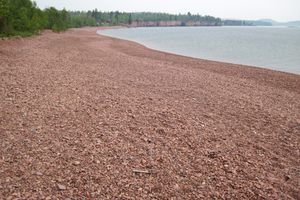
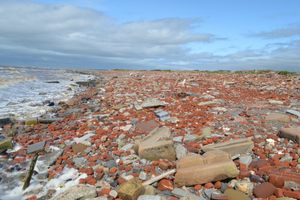
Five miles north of Liverpool, what remains of the city before World War II is strewn across two miles of coastline. From pebble-sized remnants of bricks eroded by the adjacent Irish Sea, to large keystones of major civic buildings, the expanse of Crosby Beach is a stark reminder of the conflict that consumed the world in the middle of the 20th century.
Liverpool was one of the most heavily hit British cities by the German Luftwaffe, the Nazi air force. The blitz came in waves, with barrages beginning in 1940 and continuing throughout the war. In total, the Liverpool Blitz killed nearly 4,000 people, and rendered over 70,000 homeless. The German bombing was indiscriminate—banks, churches, single family homes—no structure was spared from the aerial onslaught.
In the rush to clear the streets and make the city livable, some of the rubble was shipped abroad as ballast, and much was carted out of town, to Crosby Beach, just to get it out of the way. There it was unceremoniously dumped, as a devil-may-care bedazzling of the seashore. While some report that the rubble was set there as a barrier to erosion, and others say the rubble may have been placed there to impede a potential German invasion by foot, there is no conclusive evidence for either claim.
Following World War II, Liverpool, like many British cities, found itself strapped for cash, and many areas hit by the blitz were merely filled in, turned into parking lots, or languished as piles of pulverized stone and splintered woodwork for decades. Since there was hardly money to get the city back on its feet, very little mind was paid to cleaning up the beach that had become cluttered with houses and civic structures deemed impossible to rebuild. Over the decades, the Irish Sea lapped away at the rubble, softening the crisp marble finishes of decorative pre-war design, and turning many of the proper, rectangular bricks into oblong red stones. While some of the rubble is broken and transformed beyond recognition, some pieces of humanity shine through: a gravestone; the shattered sign of a storefront; an old jumper, caught in the debris.
The rubble stretches from the banks of Crosby Beach up to the village of Hightown, though more crops up further north at Formby Point, part of the British National Trust, and where British soldiers prepared for the D-Day invasions. Though there are no formal demarcations of the site or the rubble’s origin, the expanse of the wreckage is a testament to the lives uprooted and overturned by the bloodiest conflict in human history.
Related Tags
Know Before You Go
Crosby Beach is easily accessible via the Hall Road train station on the Southport-bound branch of Merseyrail's Northern Line. Trains run approximately every 15 minutes on the MerseyTravel Northern Line. Connections to national rail services and other regional services can be made at Liverpool Lime Street and Hunts Cross. From the Hall Road station, Crosby Beach is a direct 10-minute down Hall Road West. The rubble continues up the beach to the village of Hightown.
The beach is also accessible by car. Take the A565 to Crosby and head towards Hall Road station, where there is ample parking alongside the HM coastguard building. There's alternative parking at Crosby leisure center and Crosby marine lake for a longer walk along the beach past Anthony Gormley's Another Place. Most of the roads along the promenade are strictly no parking.
It is highly advisable to wear sneakers to visit, given the uneven terrain. While much of the rubble is harmless bric-a-brac, some of the structures built in the early 20th century contained asbestos as a building material, so the rubble is best marveled at using museum rules: look, but don't touch.
Community Contributors
Added By
Published
November 6, 2019
