


About
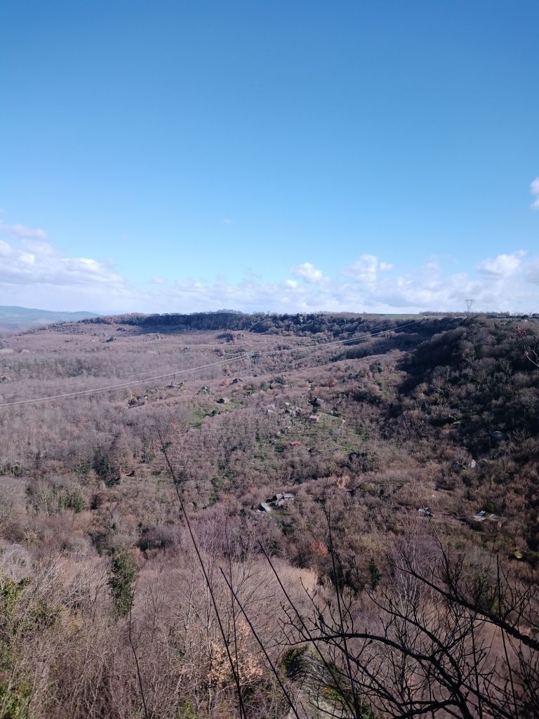
The "Monumento Naturale di Corviano" is a lesser-known nature reserve that covers over 70 hectares and is located between the villages of Vitorchiano and Bomarzo, in northern Lazio.
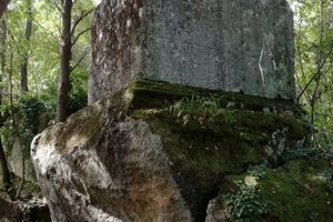
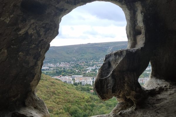
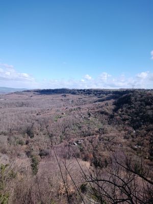
The site extends over a high volcanic plateau that is separated from the valley below by high cliffs, which served formidable defensive purposes over the centuries.
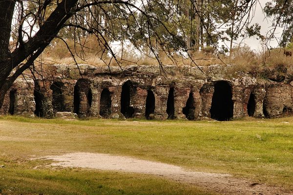
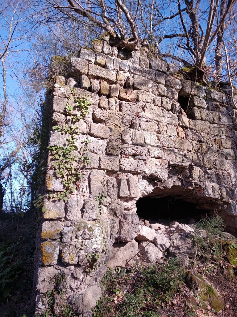
Most of the archaeological remains that are visible today date back to the Middle Ages, however, several Etruscan altars and tombs are located in the valley below. These include the ruins of a castle whose walls rest on an older Etruscan defensive structure and moat. Other than being cited in Ecclesiastical documents from the 8th-century, researchers know that the fiefdom was owned by the Orsini family and destroyed during the conflict between that family and the city of Viterbo in 1282.
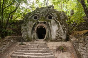
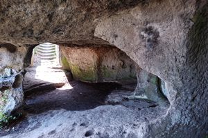
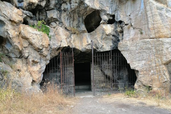
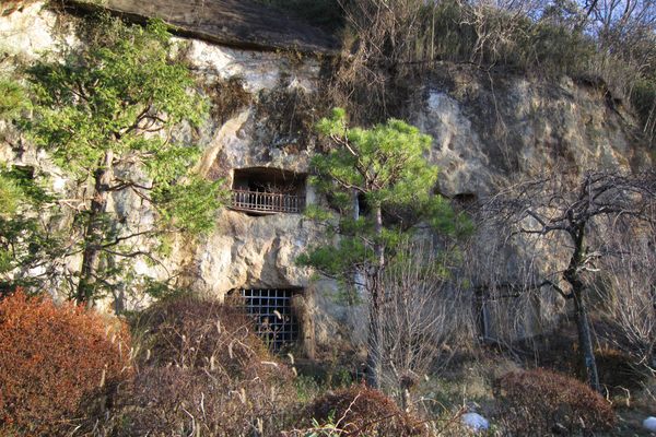
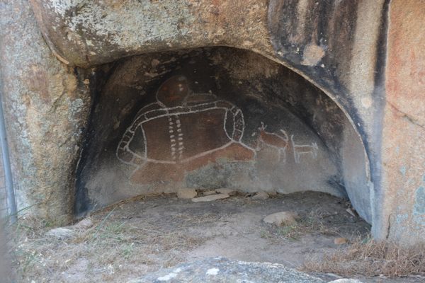
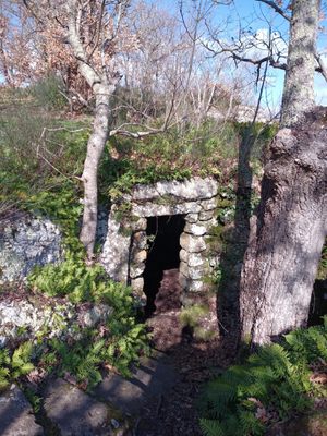
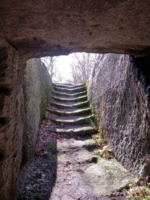
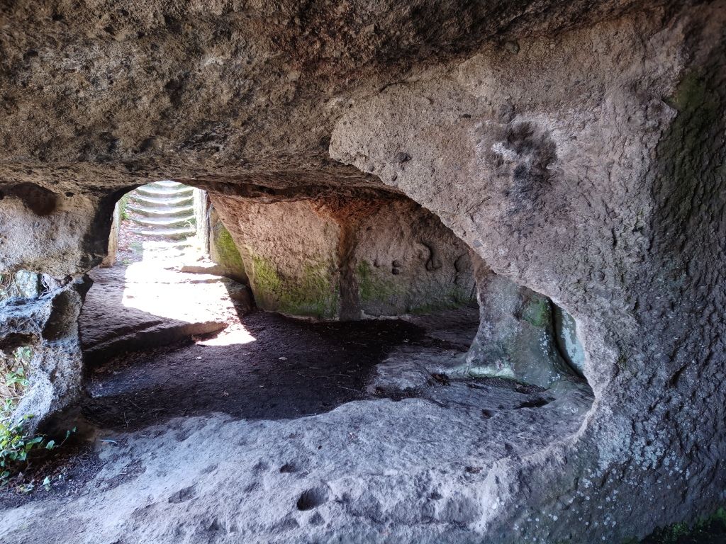
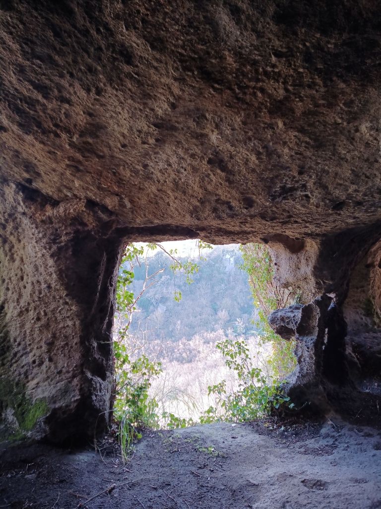
A short distance away from the castle are the remains of five cave dwellings that can be accessed via staircases that were most likely added later, as archaeologists believe that the dwellings could be entered only through a sophisticated system of wooden ladders.
Each dwelling opens to the valley below and is often composed of more than one chamber, with clear traces and carvings in the rocks that served various purposes. The dwellings are even more impressive when seen from below, as the gaping windows litter the enormous peperino cliffs (however, the trails below the site are unmarked and only recommended for experienced hikers).
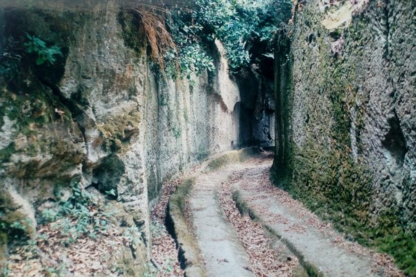
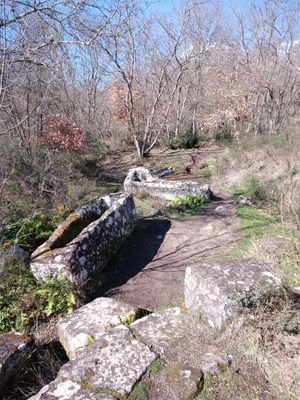
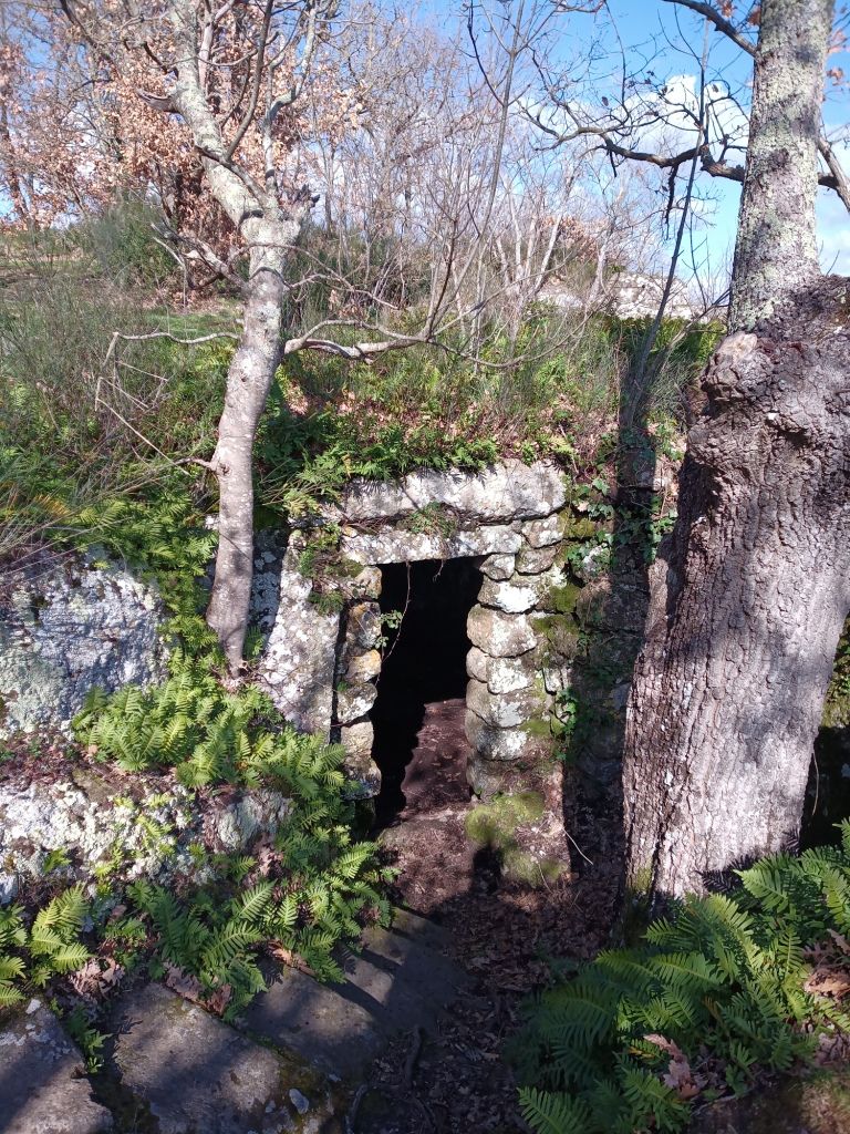
Along the trail that flanks the cliffs, visitors will also come across a graveyard with almost thirty stone sarcophagi and the remains of a small medieval church, alongside a series of wine or hemp presses dug directly into the rock.
The site is also a beautiful nature reserve filled with life.
Related Tags
Know Before You Go
Corviano can be either reached on foot from Vitorchiano (a 10-kilometer loop) or by car from the Ortana road that connects Viterbo with Orte. A sign is visible approximately at the 12.8-kilometer mark and a two-kilometer unpaved road leads to the closest access to the site.
Flavors of Italy: Roman Carbonara, Florentine Steak & Venetian Cocktails
Savor local cuisine across Rome, Florence & Venice.
Book NowCommunity Contributors
Added By
Published
May 11, 2021