


About
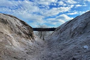
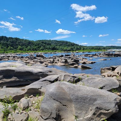
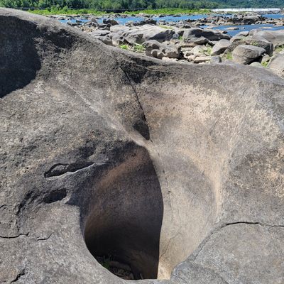
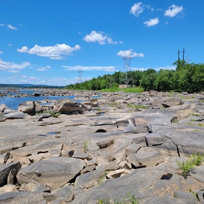
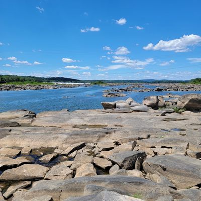
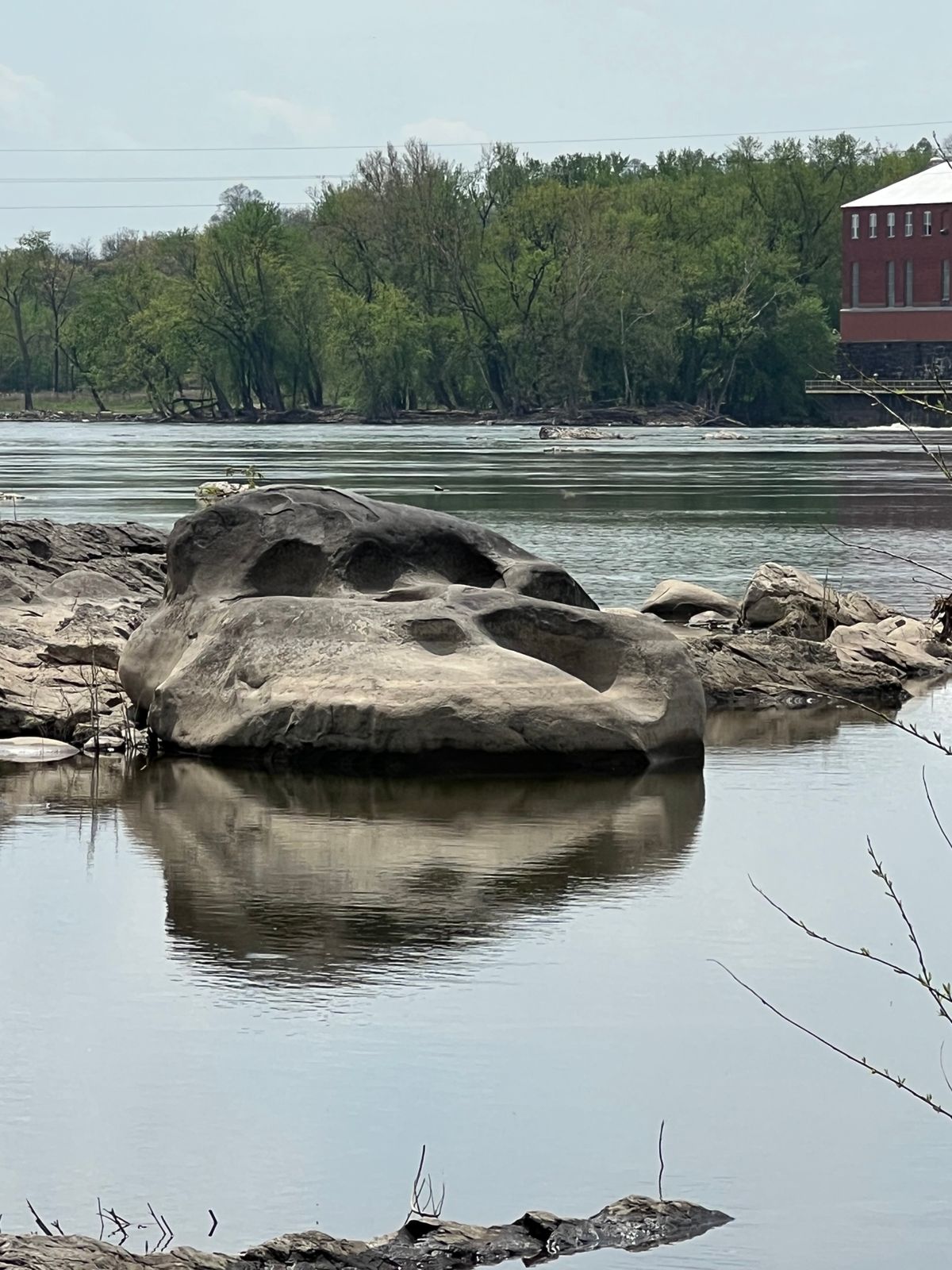
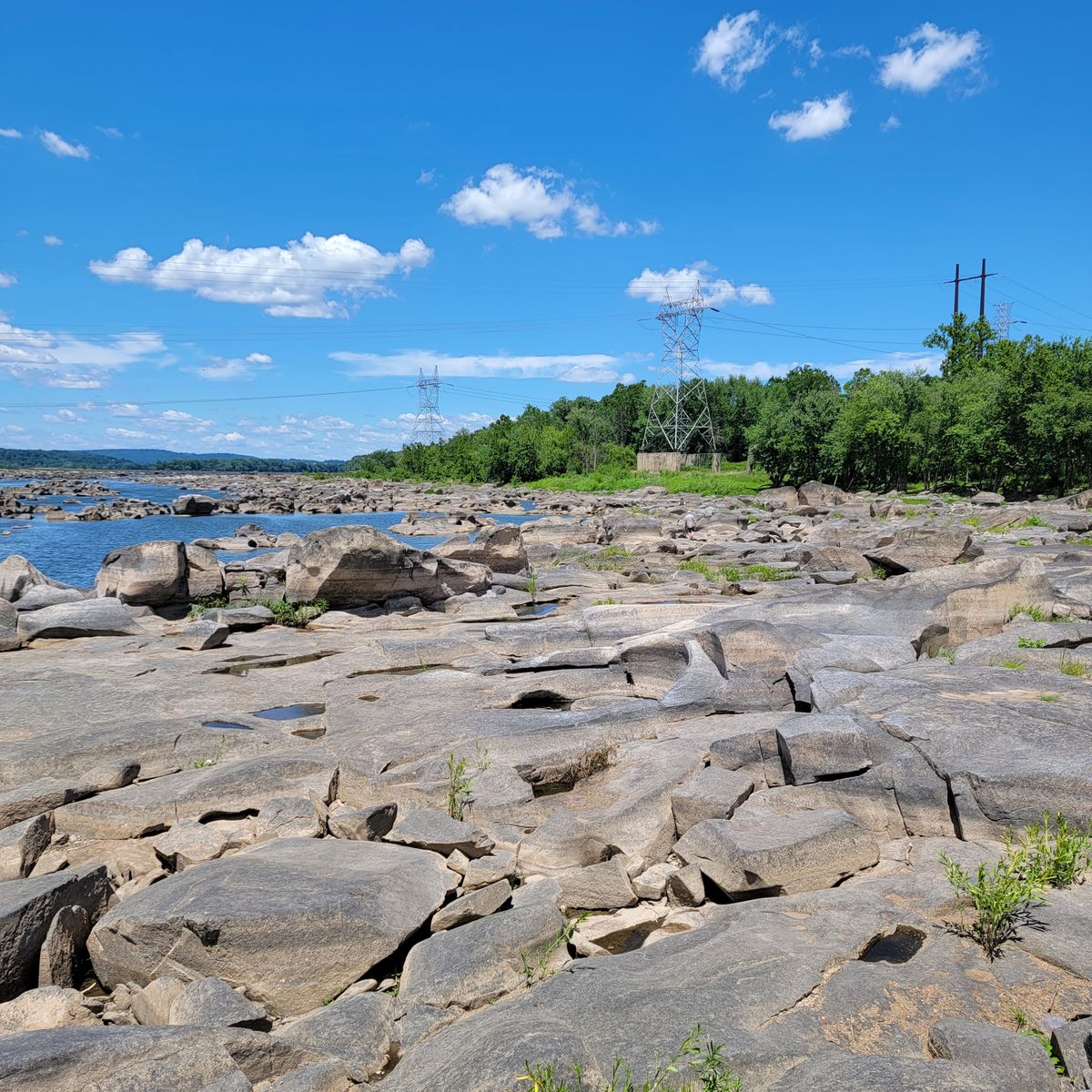
Located in the Susquehanna River, just south of Three Mile Island is the Conewago Potholes, a prehistoric diabase formation that eroded over the centuries.
The meltwater from the Ice Age created rapids that picked up sediment and drilled natural holes into the rock with underwater whirlpools. The remaining boulders, and subsequently the remaining potholes, are quite large—several large enough to fit a person.
The address to access the potholes is for the Falmouth Boat Launch, head to the river and start walking up the riverbed north towards Three Mile Island. Otherwise, visitors can bring a kayak to navigate the potholes, and paddle up towards the York Haven Dam.
The potholes are also a popular fishing spot for smallmouth bass and catfish.
Related Tags
Know Before You Go
Be sure to check the water levels before going on the USGS page for water data for Harrisburg, you'll want the river level to be below 3.5 feet. Another colloquial name for the potholes is "the hunger rocks," because they're most visible during periods of drought. The best times to visit would be late summer or early fall, especially when there has been little rain.
Wear comfortable shoes for climbing up and over boulders, as well as sunscreen and drinking water, especially if you plan on moving up the riverbed to explore the rocks.
Published
August 23, 2022