


About
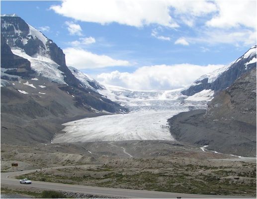
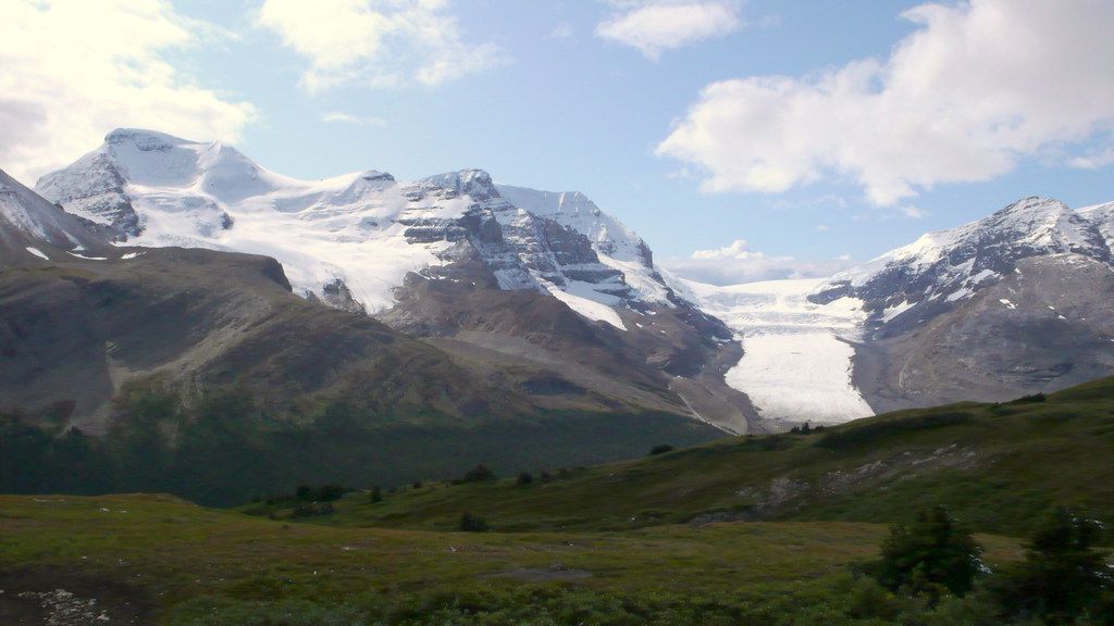
The Columbia Icefield is an icefield located in the Canadian Rockies, astride the Continental Divide of North America.
The icefield lies partly in the northwestern tip of Banff and the southern end of Jasper National Park. About 325 square kilometers (125 sq mi) in area, it is 100 to 365 meters (328 to 1,197 ft) in depth and receives up to 7 meters (275 in) of snowfall per year.
The icefield feeds eight major glaciers, including Athabasca Glacier, Castleguard Glacier, Columbia Glacier, Dome Glacier, Stutfield Glacier, and Saskatchewan Glacier.
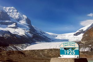
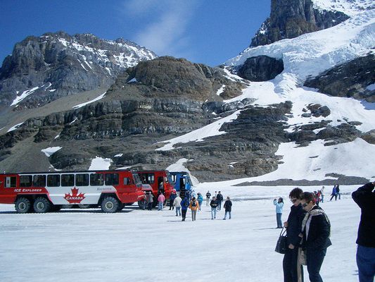
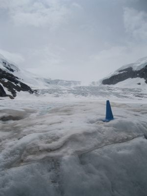
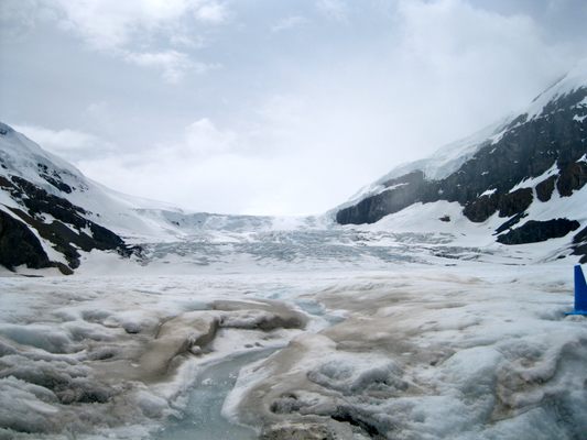
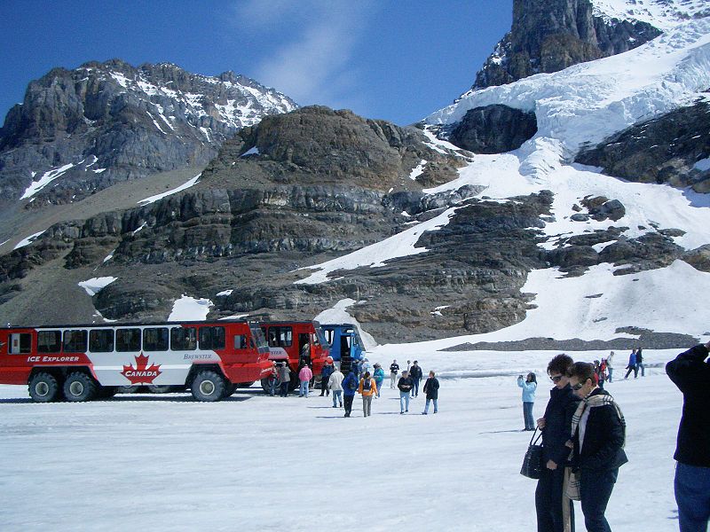
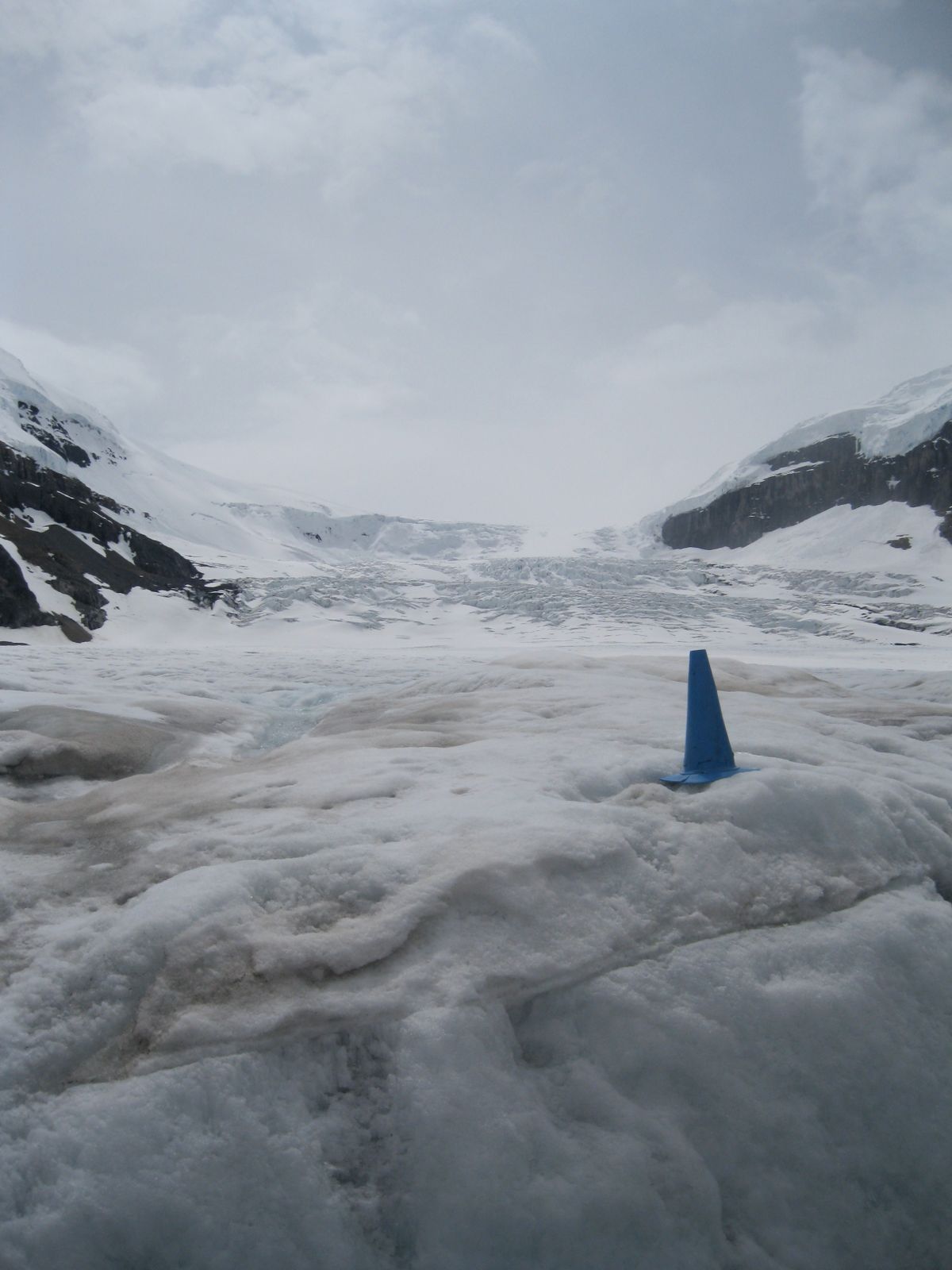
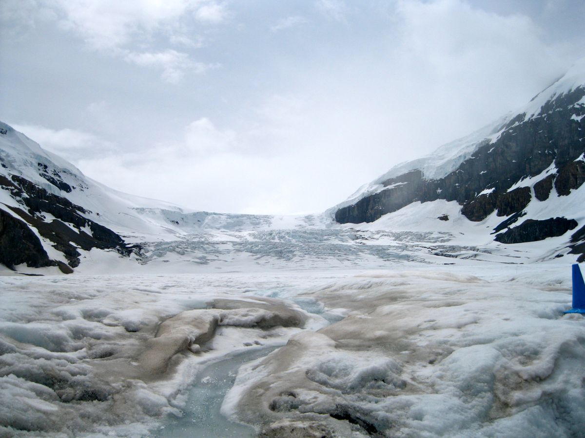
The Athabasca is the most-visited glacier on the North American continent. Situated across from the Icefield Centre, its ice is in continuous motion, creeping forward at the rate of several centimeters per day. This part of the icefield, the Athabasca Glacier, is visible from the Icefields Parkway, also known as the Jasper Banff Highway. The Athabasca Glacier has receded significantly since its greatest modern-era extent in 1844. During the summer months, visitors to the area can travel onto the glacier in the comfort of large "snowcoaches."
The Athabasca River and the North Saskatchewan River originate in the Columbia Icefield, as do tributary headwaters of the Columbia River. As the icefield is atop a triple Continental Divide these waters flow ultimately north to the Arctic Ocean, east to Hudson Bay (and thence to the North Atlantic Ocean), and south and west to the Pacific Ocean.
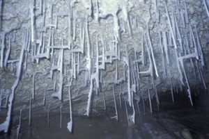
Visiting the glaciers should be done with caution. The glacier is dangerous and people have been killed falling into deep, hidden cracks called crevasses in the glacier. Always go with a guide.
Related Tags
Community Contributors
Added By
Published
June 2, 2010