


About
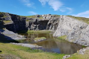
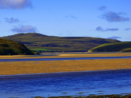
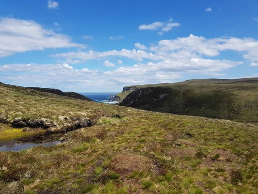
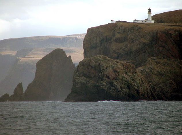
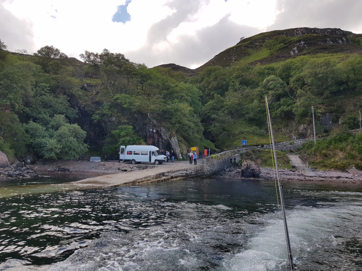
Cape Wrath is a vast and rugged wilderness nearly untouched by humans, and one of the most remote corners of the Scottish Highlands. It is also not an easy place to reach. The most northwesterly point of the British mainland, the isolated cape is accessible only by a very treacherous 11-mile road (it takes an hour to drive), or by a 200-mile backpacking trail that's considered the hardest hike in Britain.
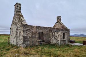
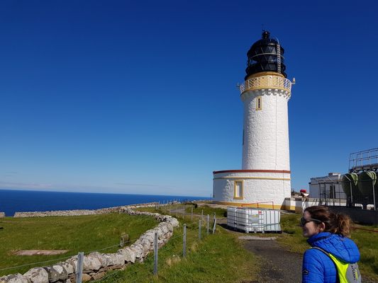
If you choose to go by road, you'll first cross the Kyle of Durness by passenger ferry from Keoldale, and then a friendly tour guide will take you by minibus through a Ministry of Defence firing range, and all the way to the 19th-century lighthouse at the end. When you get there, you'll see the Ozone Cafe, run by a father and daughter who are the only permanent residents of Cape Wrath. (The name "wrath" comes an Old Norse word meaning "turning point.")
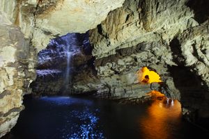
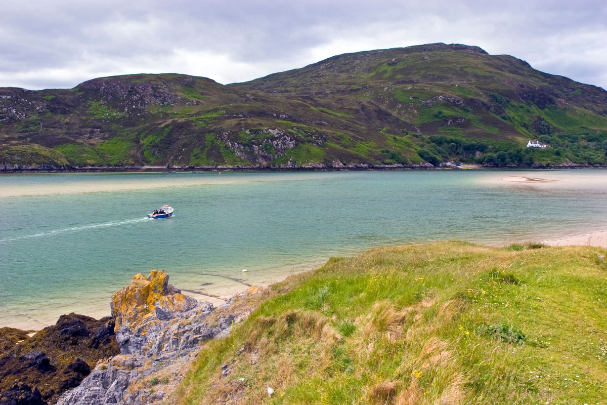
The minibus driver is very knowledgable about the history of the cape—which is both a military training site and a conservation area—and will give a great commentary along the route. The views along the way are fantastic, and there is even the possibility of spotting some whales from the tops of the cliffs. This undeveloped landscape, spanning over 100 square miles, is an ideal home for a diversity of wildlife, including thousands of seabirds that nest in the cliffs.
Related Tags
Know Before You Go
It's all cash only. The ferry driver and bus driver are all paid separately and there's no advance booking as inclement weather can call off a tour on a rainy day.
Flavors of Scotland: Beyond the Haggis
Smoked seafood, single malt whisky, and warm hospitality.
Book NowPublished
August 12, 2019