About
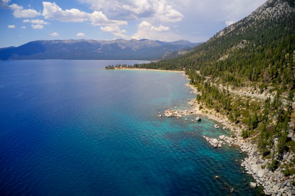
Along Route 28 on the Nevada side of Lake Tahoe, not far from Carson City, there are pristine beaches and photogenic look-out points. The lake is vast, majestic, and more than a little awe-inspiring. Here, amidst such humbling beauty, a rocky spot on the shore offers a chance to celebrate something that, while simple, feels truly magical.
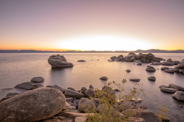
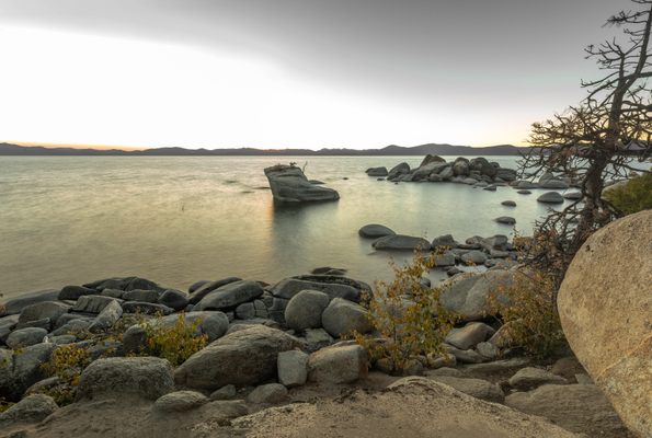
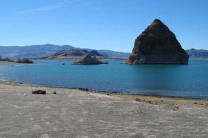
High up in the Sierra Nevada Mountains, Lake Tahoe is huge, azure blue, and clear as a swimming pool. The lake is so deep — the second deepest alpine lake in the United States behind Crater Lake in Oregon—you could drop a 150-story building in it, straight down. Halfway between Hidden Beach and Sand Harbor is a large boulder with four small trees growing out of a crevice at the top. It’s known as Bonsai Rock.
The spot is easy to get to from the road, which has helped make Bonsai Rock a magnet for nature photographers. With each image captured, the little guys have proven themselves an iconic symbol of the lake, at the same time evoking the spirit of bonsai artistry. The tradition of deliberately stunted trees maintained in finite containers goes back at least a thousand years, maybe even thousands more, before it was taken up by Japanese masters. Unlike the deliberate fine-tuning and precise pruning required for container-grown bonsai, these trees have been pruned by a greater force, defying the odds of survival living off a diet sucked from such a nutrient-deficient natural container.
In Roughing It, Mark Twain’s account of his travels in the Wild West, about Lake Tahoe he wrote “The air up there in the clouds is very pure and fine, bracing and delicious. And why shouldn't it be?—it is the same the angels breathe.”
Related Tags
Know Before You Go
Bonsai Rock is about a 20-mile drive from Carson City, between Hidden Beach and Sand Harbor Overlook along Rt. 28. From the south, follow US-50 west and turn right onto NV-28. Go for about 6 and 1/2 miles and the spot will be on your left. From the north, starting at Incline Village, follow NV-28 south towards Sand Harbor State Park and the spot is about a mile past Sand Harbor State Park. Either way, you can use the GPS coordinates at the top of the page for the exact spot. Once there, you'll see a couple of footpaths down to the water. It's a little steep, but just a few yards to the shore.
The only way to park your car is on the very narrow shoulder of a small two-lane highway (any time of year other than winter). There are no signs for the rock and the internet is spotty so GPS coordinates may not be accessible.
Community Contributors
Published
June 7, 2016


