


About
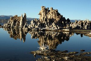
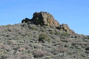
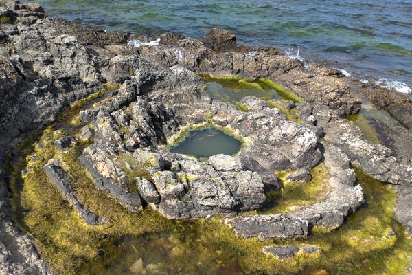
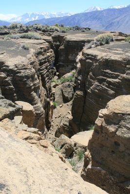
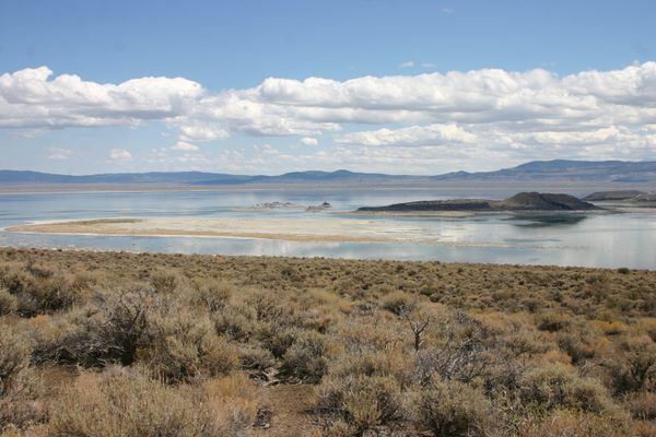
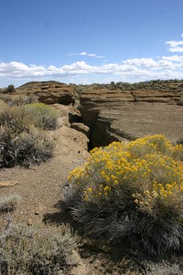
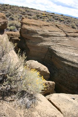
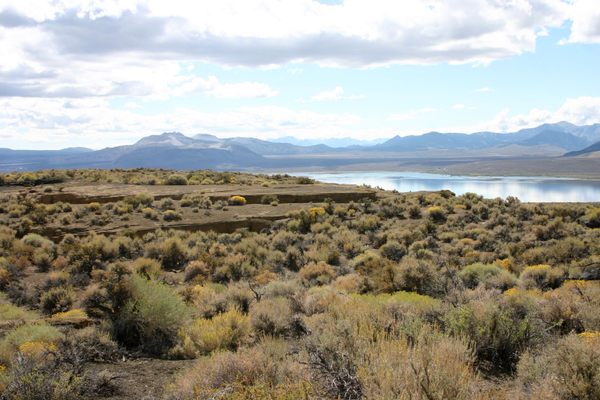
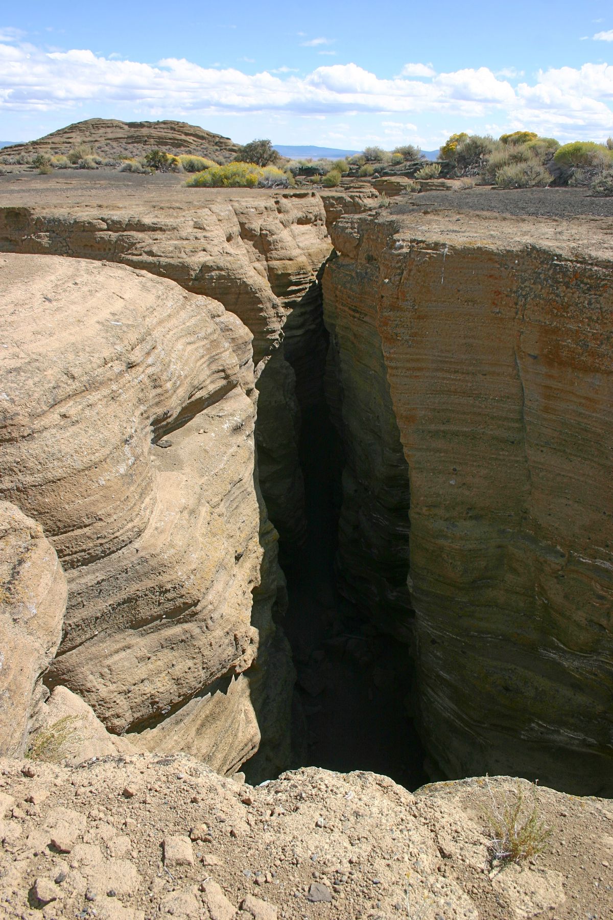
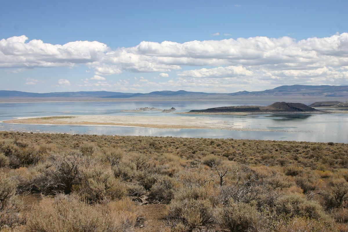
Black Point, above Mono Lake on the northwest, is of volcanic origin. It stems from an underwater eruption when the lake was much higher, about 13,500 years ago.
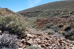
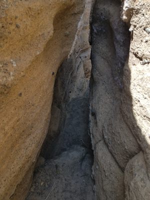
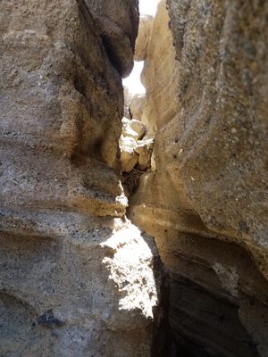
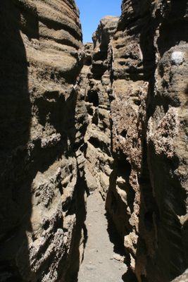
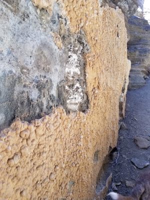
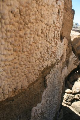
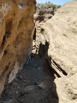
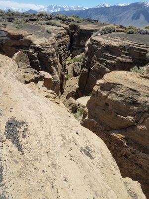
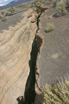
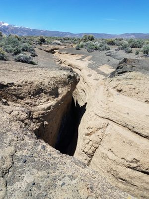
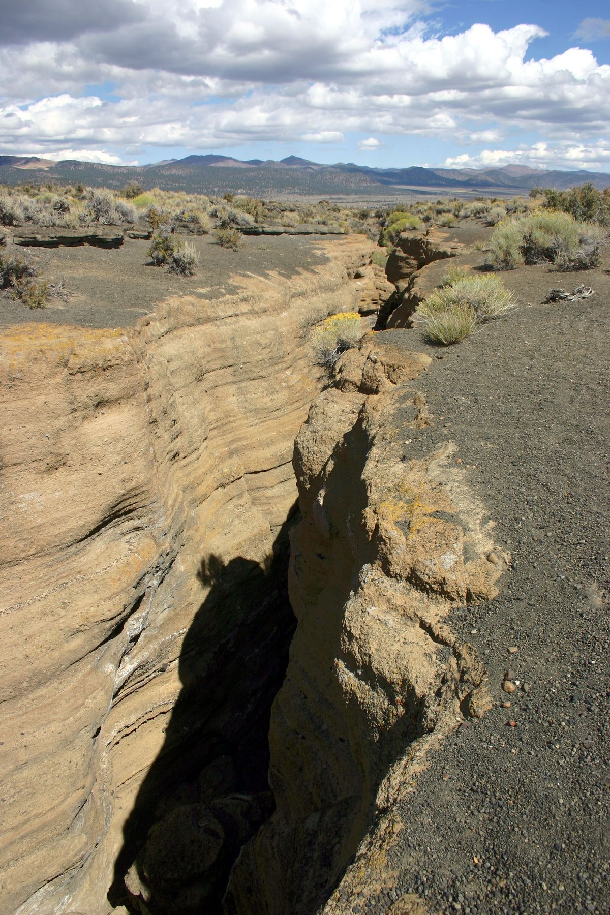
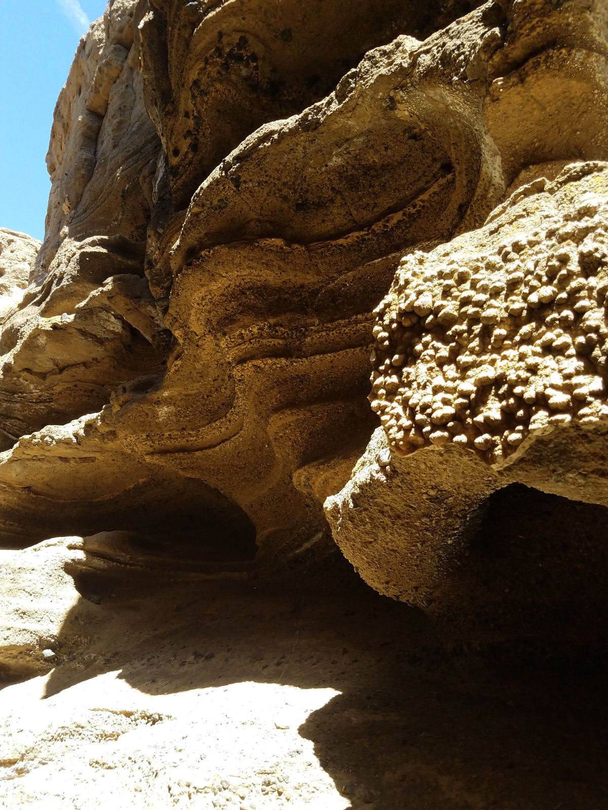
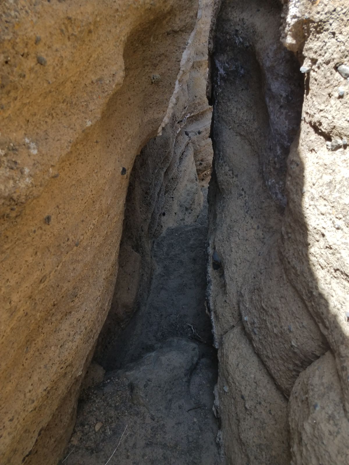
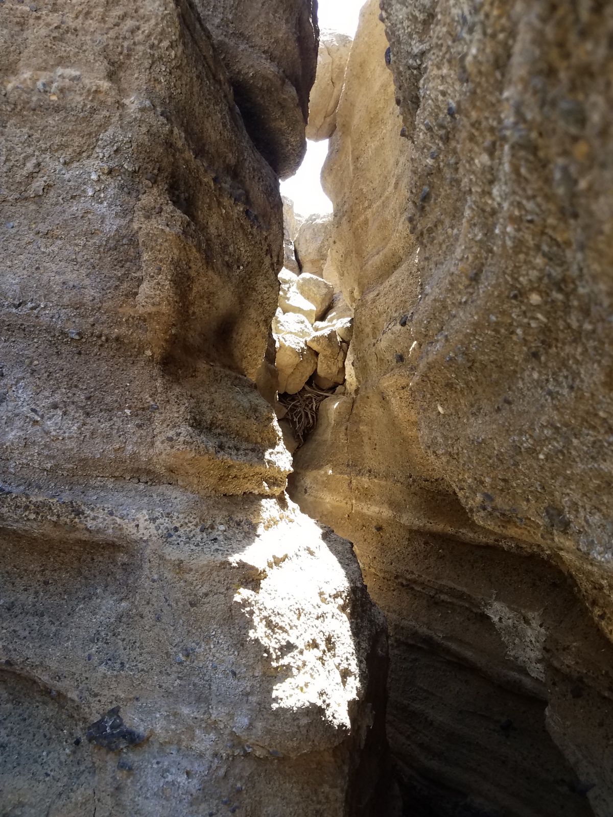
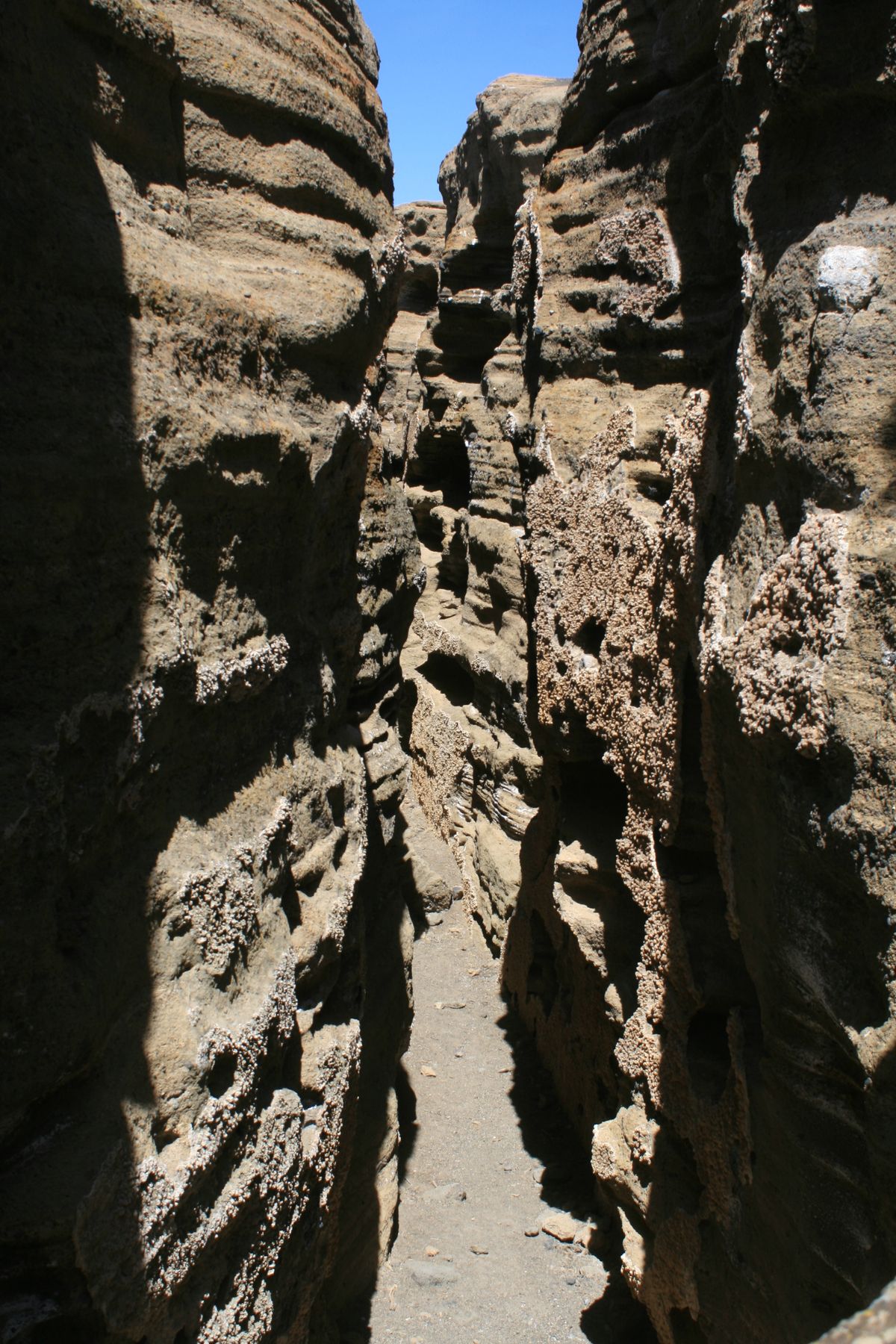
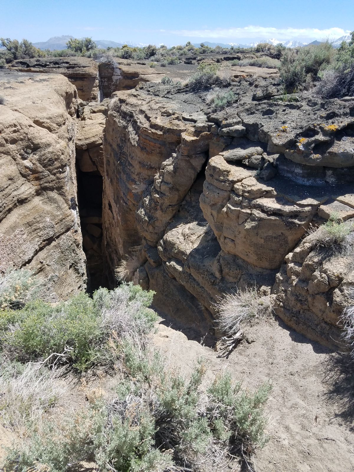
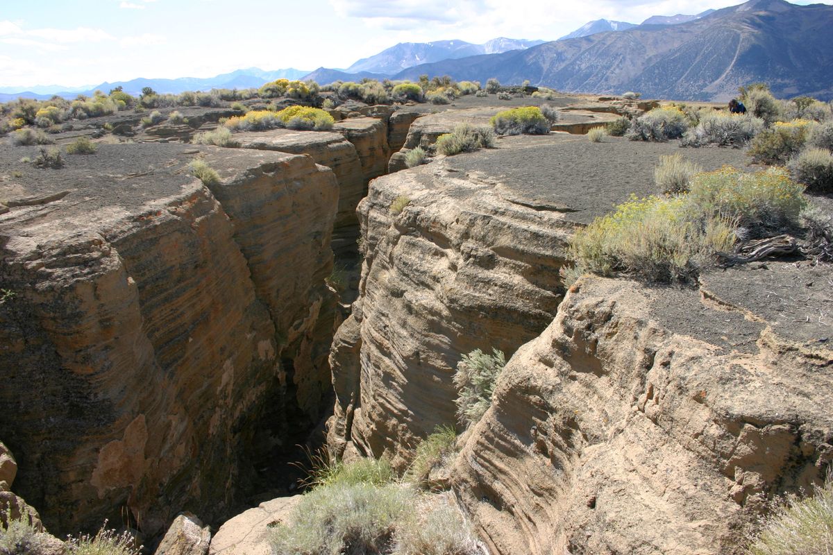
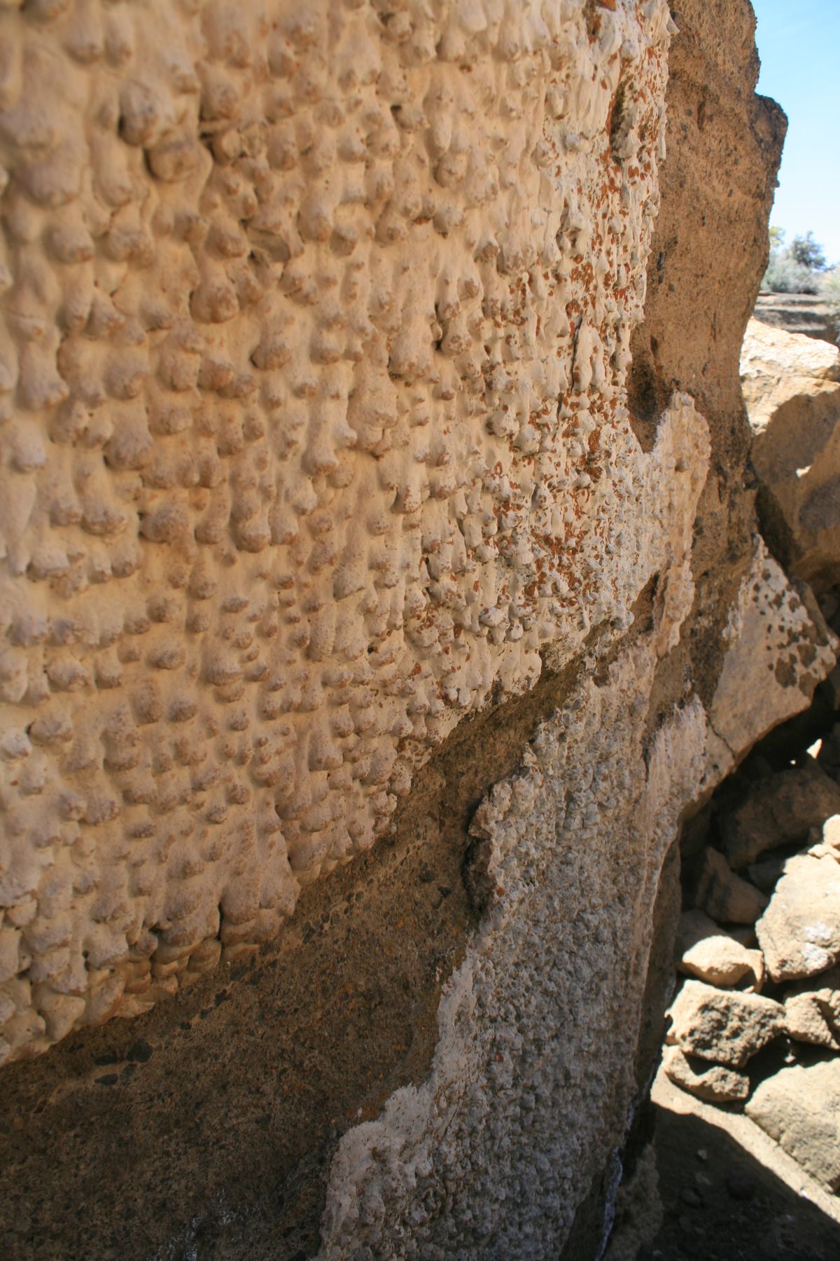
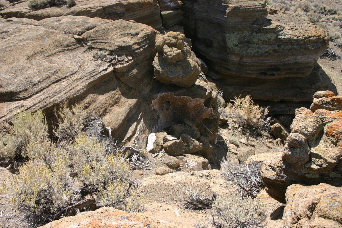
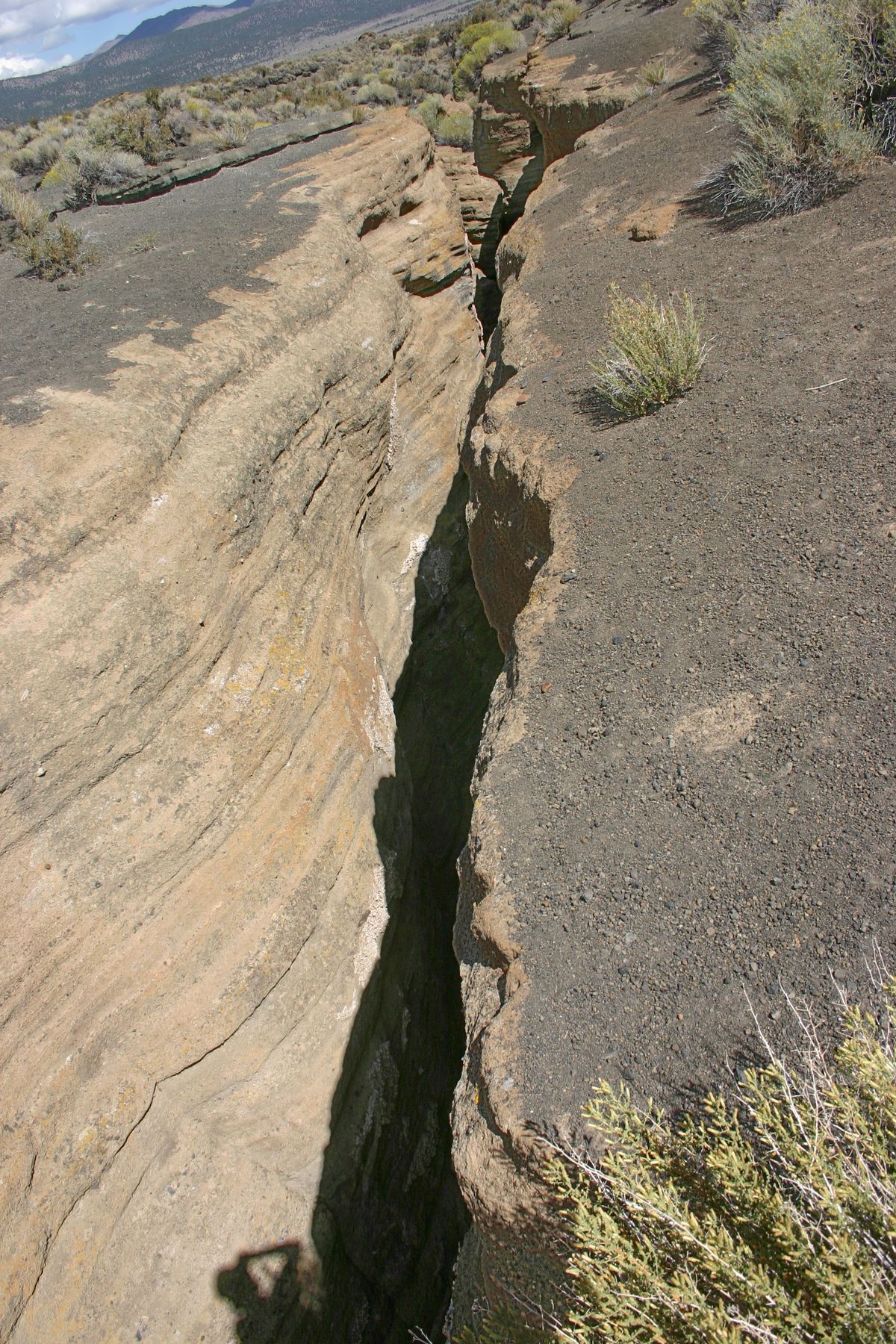
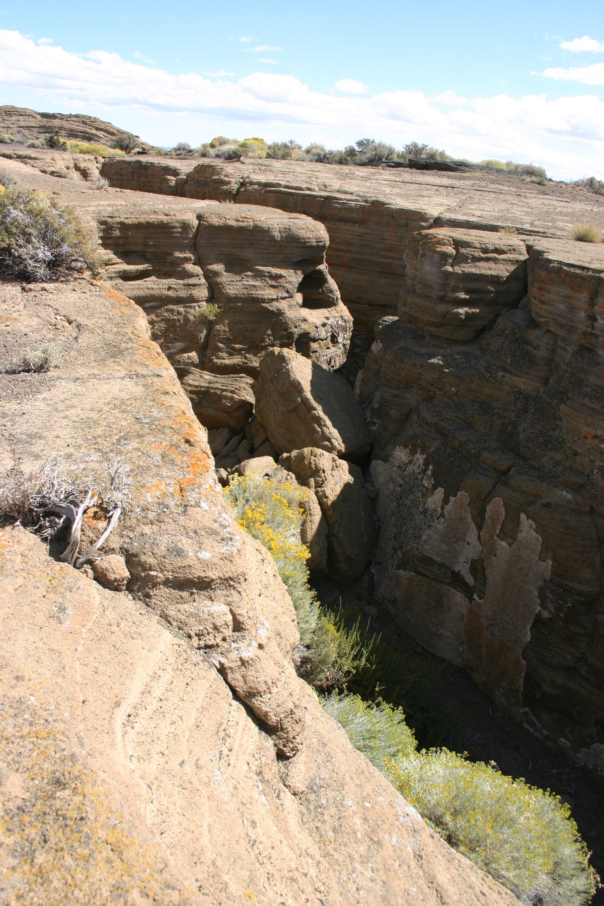
The ejected material spread out by the overlying water, and in addition, chemical reactions with the hot water—so-called "palagonitization"—cemented much of the ejected debris together to make a solid surface. Pressure from below continued, however, such that the solid surface bulged and finally cracked. The Black Point Fissures are the expansion cracks.
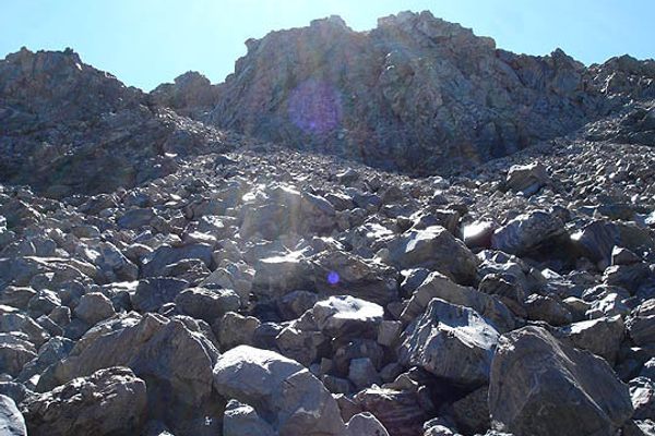
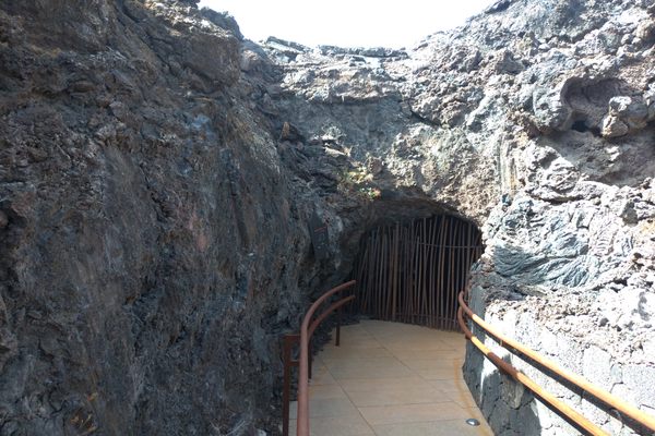
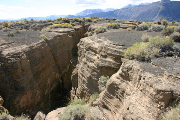
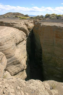
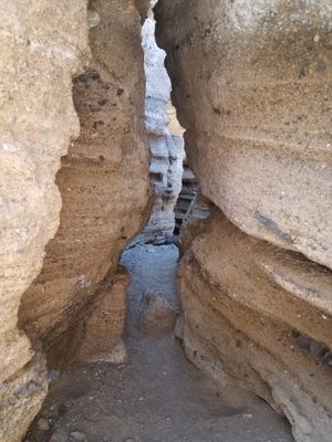
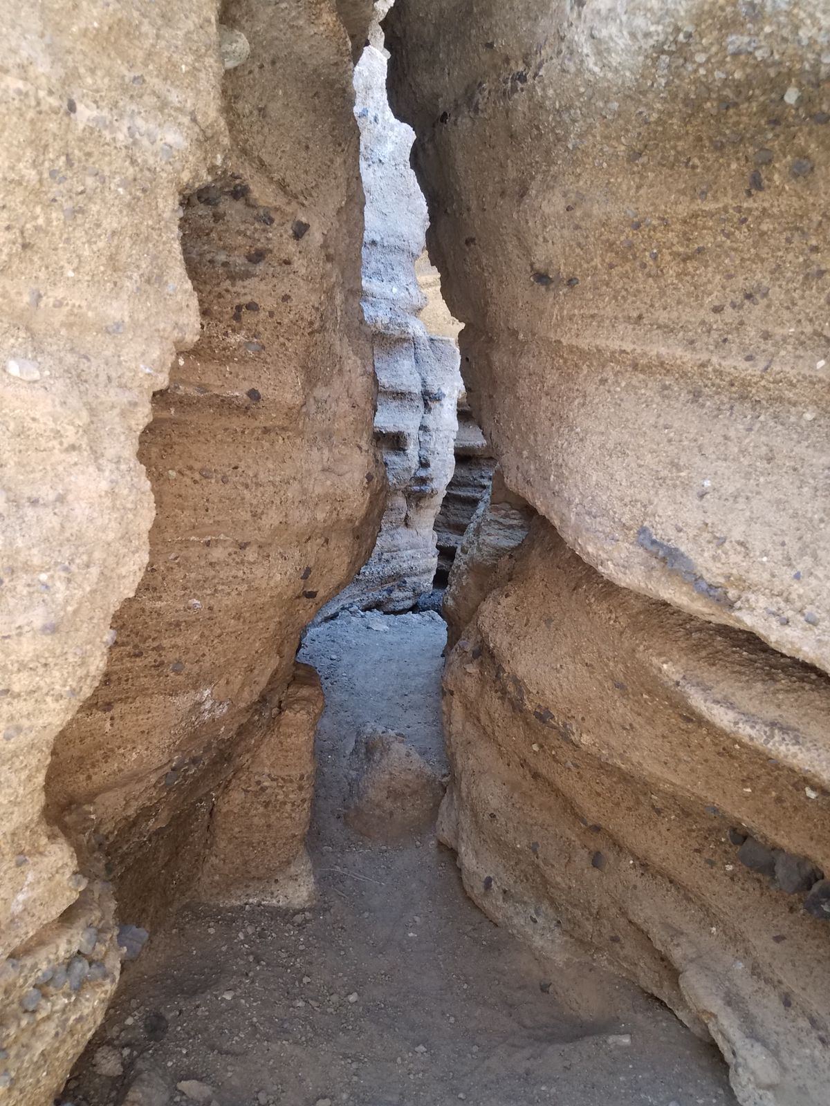
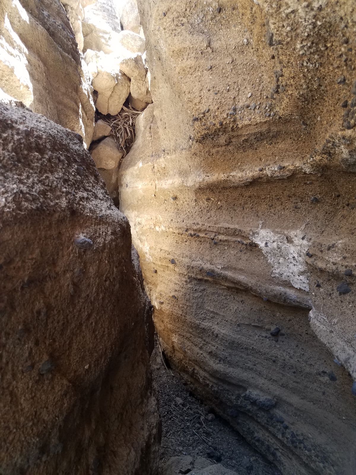
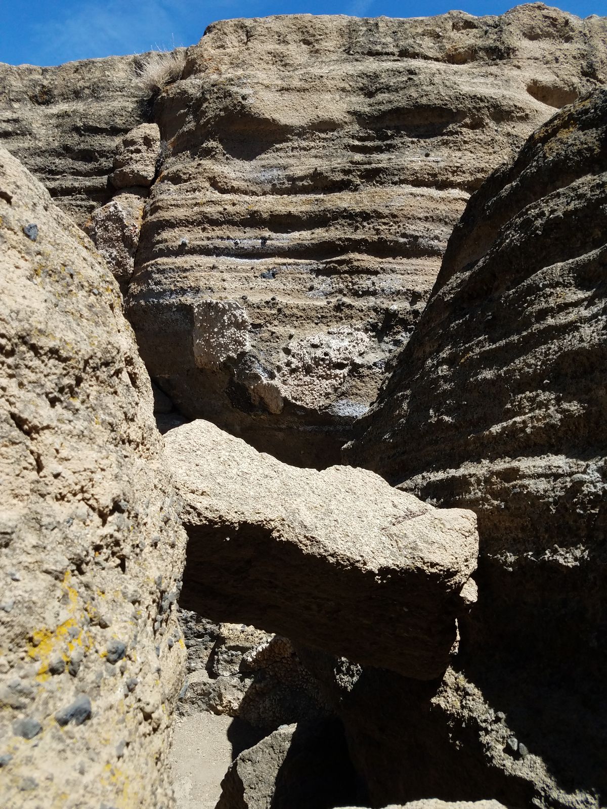
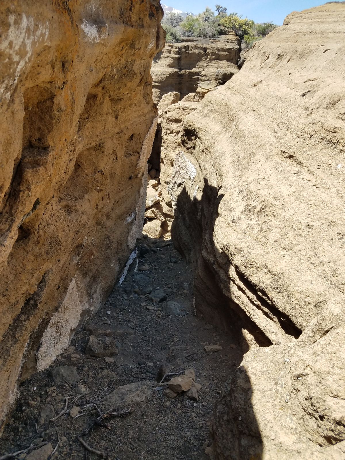
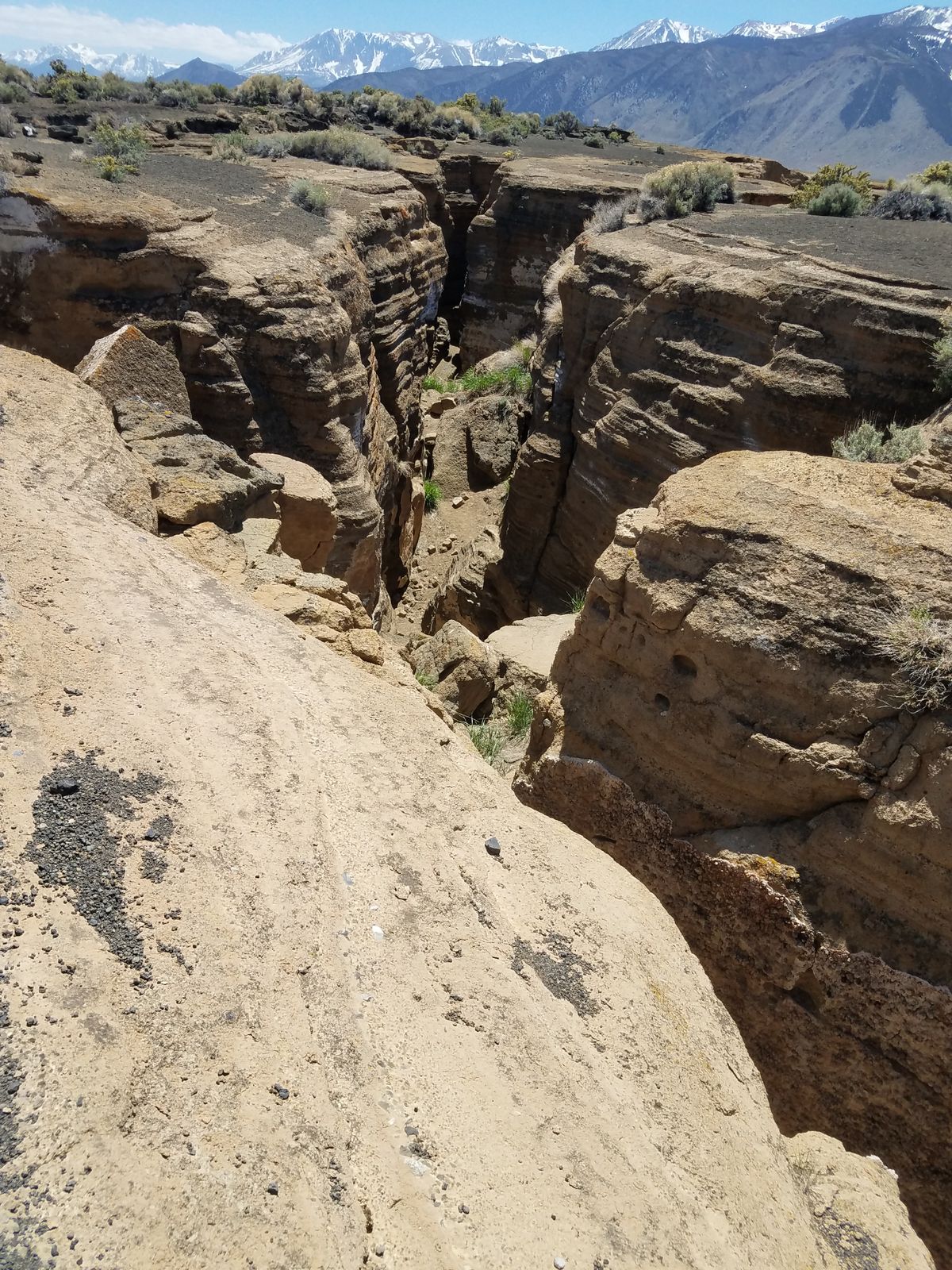
The spectacular fissures have near-vertical sides, and can be over 50 feet deep and around 10 feet wide, though they're usually narrower. Nonetheless, many are wide enough for a person to walk in, although, access to the bottom of some of the fissures requires technical equipment.
Related Tags
Know Before You Go
One way to get there is to go directly to the Black Point parking lot. About five miles north of the intersection of California SR 420 in Lee Vining turn right on Cemetery Road. Then drive about 3.2 miles, past Mono Lake Park on the right, and then past the Mono Cemetery for about 1.4 miles. Then turn right on USFS Road 2N20, which should be signed for "Black Point" (intersection at about 38.043118 N, 119.118622 W). After about 1.8 miles, this road will curve south. Continue following it; the parking lot is now less than a mile. There are no amenities at the trailhead.
From the parking lot, the fissures are about a mile away and nearly due west. There is no defined trail, but the country is open and there are lots of used paths. The fissures are most spectacularly developed in the vicinity of 38.0267 N, 119.1001 W.
An alternative route is to take USFS Road 2N21, which comes into USFS 2N20 about 0.7 miles from the intersection of Cemetery Road. This road requires 4wd to go all the way to the end due to a steep stretch with loose gravel. However, you can drive until it becomes impossible for your vehicle and hike from there. The fissures are directly east of the end-of-road, which is marked by a turnaround and timber barriers.
The area is completely waterless, so be sure to bring adequate amounts. The area is also extremely hot during summer, with no shade en route. Plan accordingly. Spring and fall are good visiting times, and even winter can work as it seldom snows out in the Mono Basin. However, snow can linger at the bottom of the fissures.
Community Contributors
Added By
Published
July 6, 2022