About
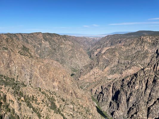
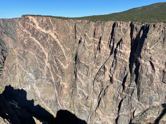
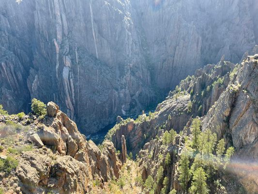
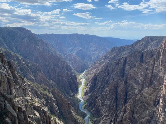
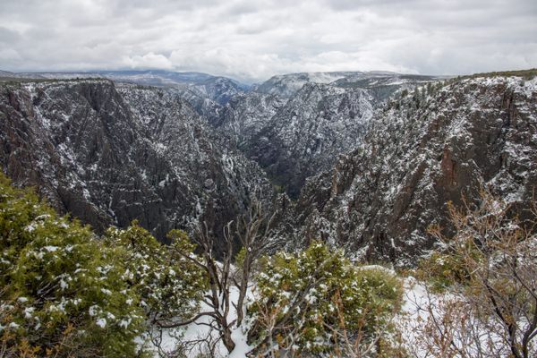
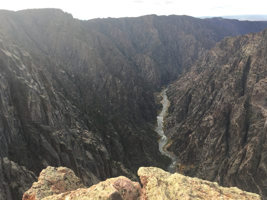
The Black Canyons must have been fascinating to early Colorado explorers. Though long-known by the Ute people of the region, Europeans first glimpsed the nearly two-billion-year-old geological wonder in the late 1700s. The name of the canyon comes from the shadows cast over the rocks, making them appear black. The astounding site continues to marvel modern-day travelers.
An 1853 expedition to the canyon led by John Williams Gunnison set out to find a suitable location for a railroad route along the Kansas-Nebraska border. The journey took him through the Great Plains and over the Rockies into Grand River (Gunnison River) Valley, where the town of Gunnison is now located. Looking at the massive expanse of land, Gunnison thought the “narrow and sinuous canyon, resembling a huge snake in motion,” might be a good spot for a railroad, but the canyon’s immense walls and thick rock were a deterrent. Gunnison and his group provided the first written descriptions of the Black Canyon.
The mining boom in the area gave what Gunnison thought was impossible a second chance, and in 1881, construction began on the Denver and Rio Grande Railroad. The train, which ran on a smaller-than-standard narrow-gauge track, was the first to go through the Black Canyon. When Gunnison described the canyon as “the roughest, most hilly and most cut up," he’d ever seen, perhaps he thought it would serve as a warning.
But the crew working to construct the Black Canyon section of the railroad were made to keep going, despite the risks. The explosives used to blast through the rock killed several workers, and even after its completion, the railroad was a danger. Avalanches were common, which could thrust the train into the icy Gunnison River below. Describing his journey on the train, writer Ruyard Kipling wrote that he felt “a glory and a wonder and a mystery about the mad ride, which I felt keenly… until I had to offer prayers for the safety of the train.”
The train was put out of service in 1949, and the area where the tracks once lay was flooded with the creation of the Morrow Point Reservoir. Visitors can see remnants of the old railroad on the Pine Creek Trail in the nearby Curecanti National Recreation Area.
Maybe one of the canyon’s best features (beside it having some of the oldest exposed rock in the world), is that it is equally accessible for avid hikers and those looking for a scenic drive. Visitors can drive from one rim of the canyon to the other, a trip that will take about three hours to complete.
Related Tags
Know Before You Go
The park is open 24 hours a day, every day, and no entry reservation is needed. The South Rim Road is open to vehicles from early April to mid-November. In winter, the South Rim Road is open to Gunnison Point. North Rim Road is open intermittently in Summer and Fall. North Rim Road and ranger stations are closed in winter. East Portal Road is closed in winter, re-opening in April. There are several accessible facilities, including overlooks and campgrounds.
Community Contributors
Added By
Published
December 15, 2021


