


About
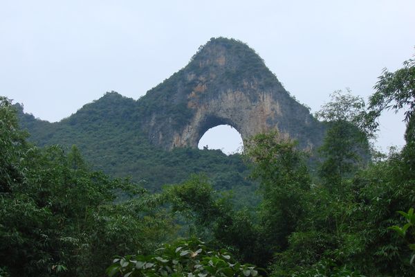
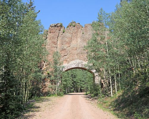
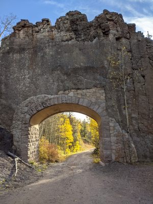
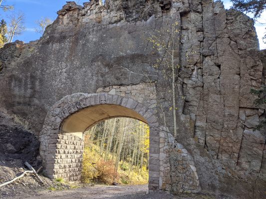
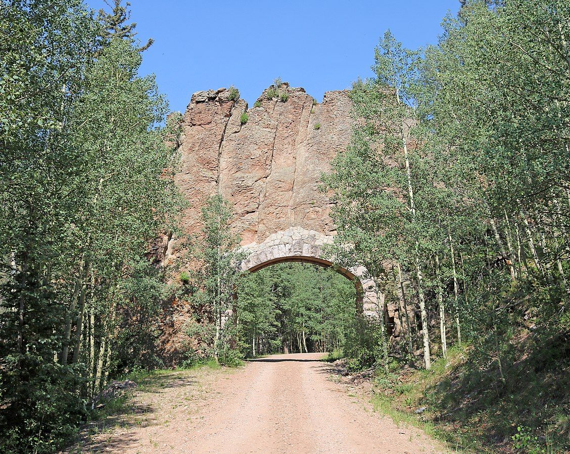
In southern Colorado, a dirt road winds beneath the magnificent Spanish Peaks. Given the poetic name Colorado Road 46, it runs by a campground, several scenic overlooks, pioneer cemeteries, and even a bar. One of the most interesting attractions lies not next to the road, but above it: the Apishapa Arch. This geological feature was formed when lava flowed into a rock crack and solidified. Over time, the surrounding rock eroded, leaving just the newer and stronger volcanic rock.
In 1933, it was decided that the area needed a road running through it. This provided a local rancher named Jose de Jesus Cordova access to the Cuchara pass and made it easier for coal miners to travel between Aguilar and Weston.
The job was given to the Civilian Conservation Corps (CCC), a newly created work relief program meant to provide work to unemployed young men during the Great Depression. At some point, they encountered a significant obstacle: the magmatic dike. Whether from necessity or just for the challenge, the CCC decided to build straight through the dike. After the tunnel was blasted, the CCC installed a masonry arch to stabilize the structure.
The road was dedicated on June 23, 1935. Until then, the area had been known as Apishapa Pass, named after a nearby river. Upon dedication of the road, it was renamed to Cordova Pass, in honor of the rancher who helped secure funding for the project. Apishapa Arch retained its name, perhaps because it went unnoticed, or just because the alliteration proved to be too tempting.
Related Tags
Know Before You Go
Apishapa Arch is easy to locate with Google Maps. The dirt road runs between CO-12 and Interstate 25, making a nice scenic drive. It is usually closed for snow from winter to late spring.
Community Contributors
Added By
Published
February 2, 2024