


About
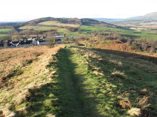
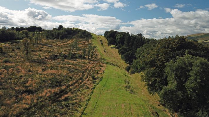
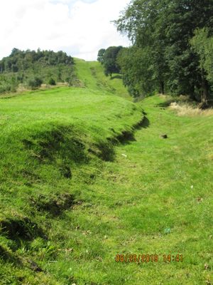
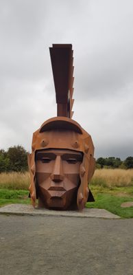
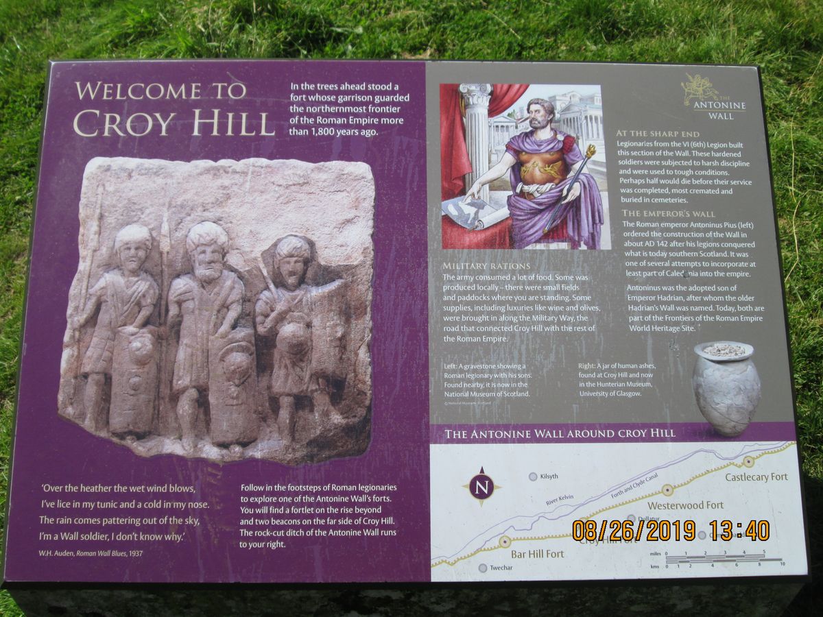
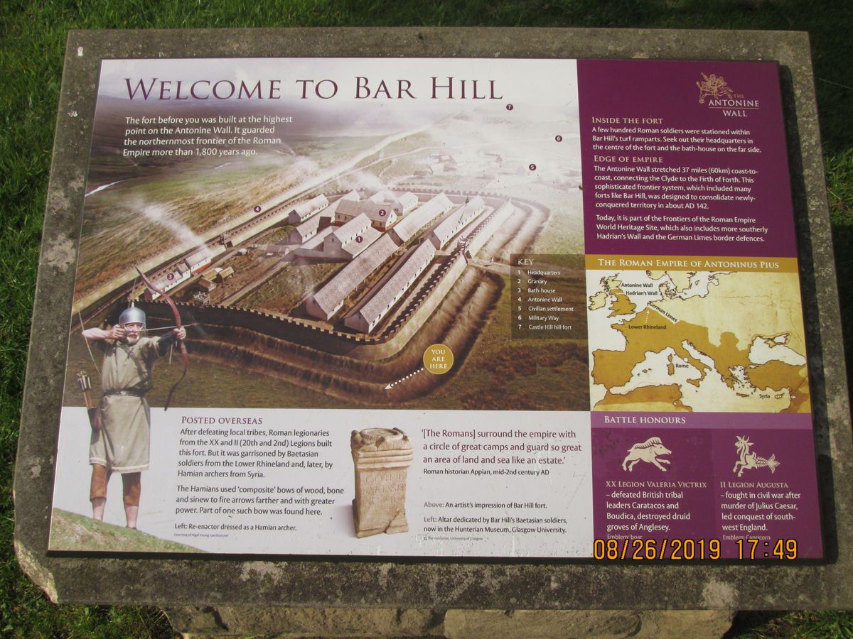
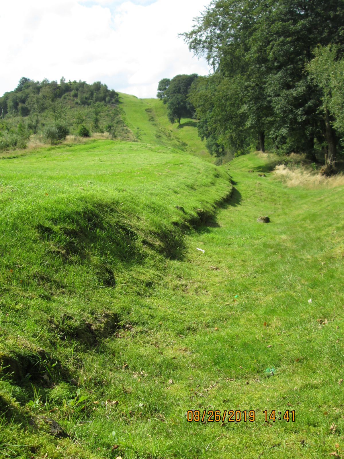
An unusual line stretches across Scotland's Central Belt. It may look like no more than a strange scar speckled with clusters of stone structures, but it's actually a remnant from when the Romans invaded the British Isles.
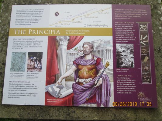
It’s a commonly held misconception that the Romans never reached Scotland and that their endeavors to conquer the entire British Isles stopped at Hadrian's Wall in England. But not only did the Romans reach Scotland, they also built a massive turf wall to keep the Scottish tribes out of their southern territory.
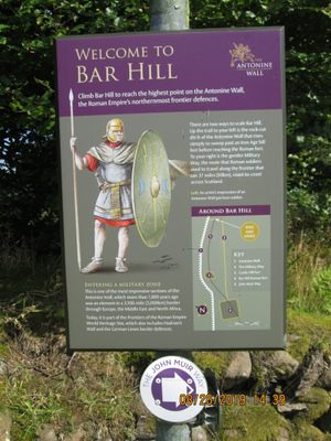
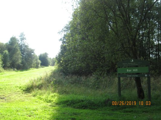
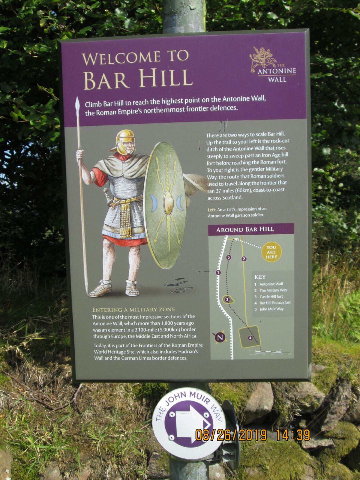
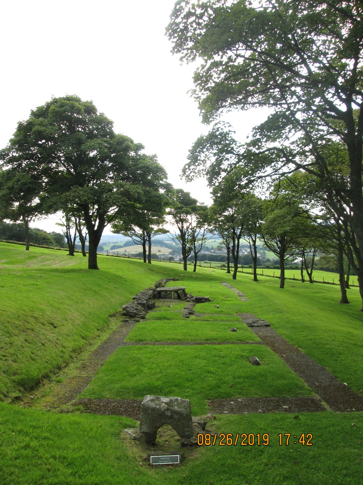
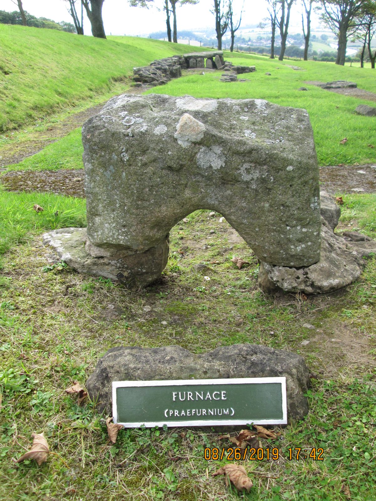
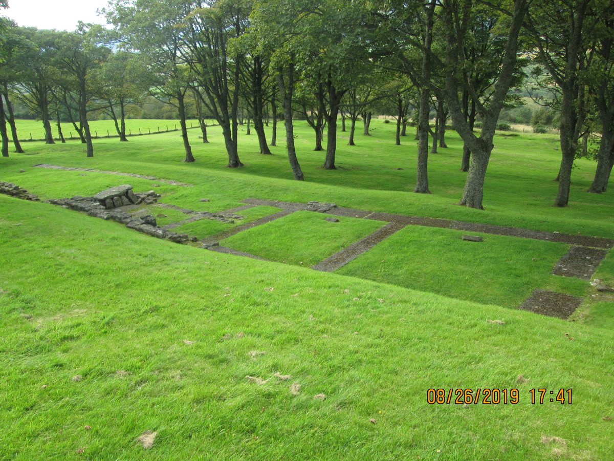
Under the orders of Roman Emperor Antoninus Pius, construction of this massive undertaking began in the year 142 and took 12 years to complete. The final work spans 39 miles from Old Kilpatrick on the Firth of Clyde to Carriden on the Firth of Forth. Bar Hill marks the highest point along the length of the wall at 250 meters (820 feet).
But after numerous attacks and greater problems at home in Rome, the wall was abandoned after only eight years. An attempt to re-establish occupation in 208 began with repairs to the wall, but ended only a few years later.
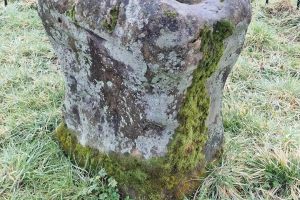
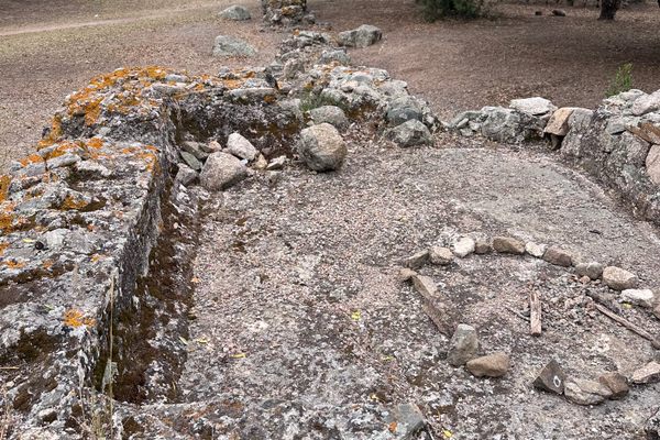
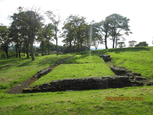
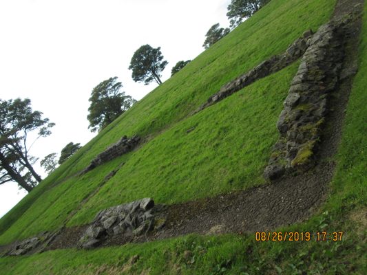
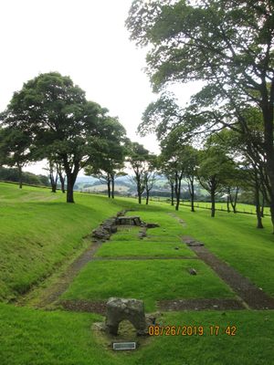
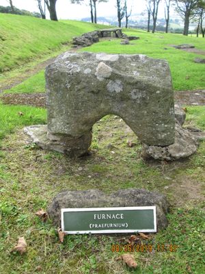
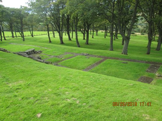
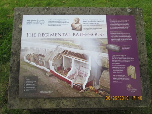
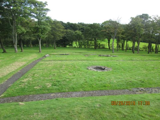
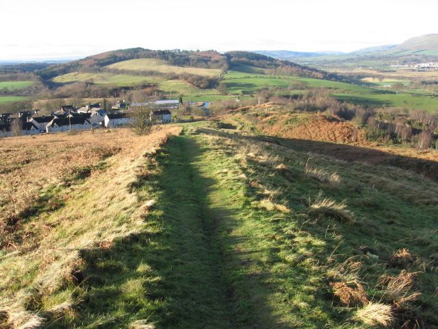
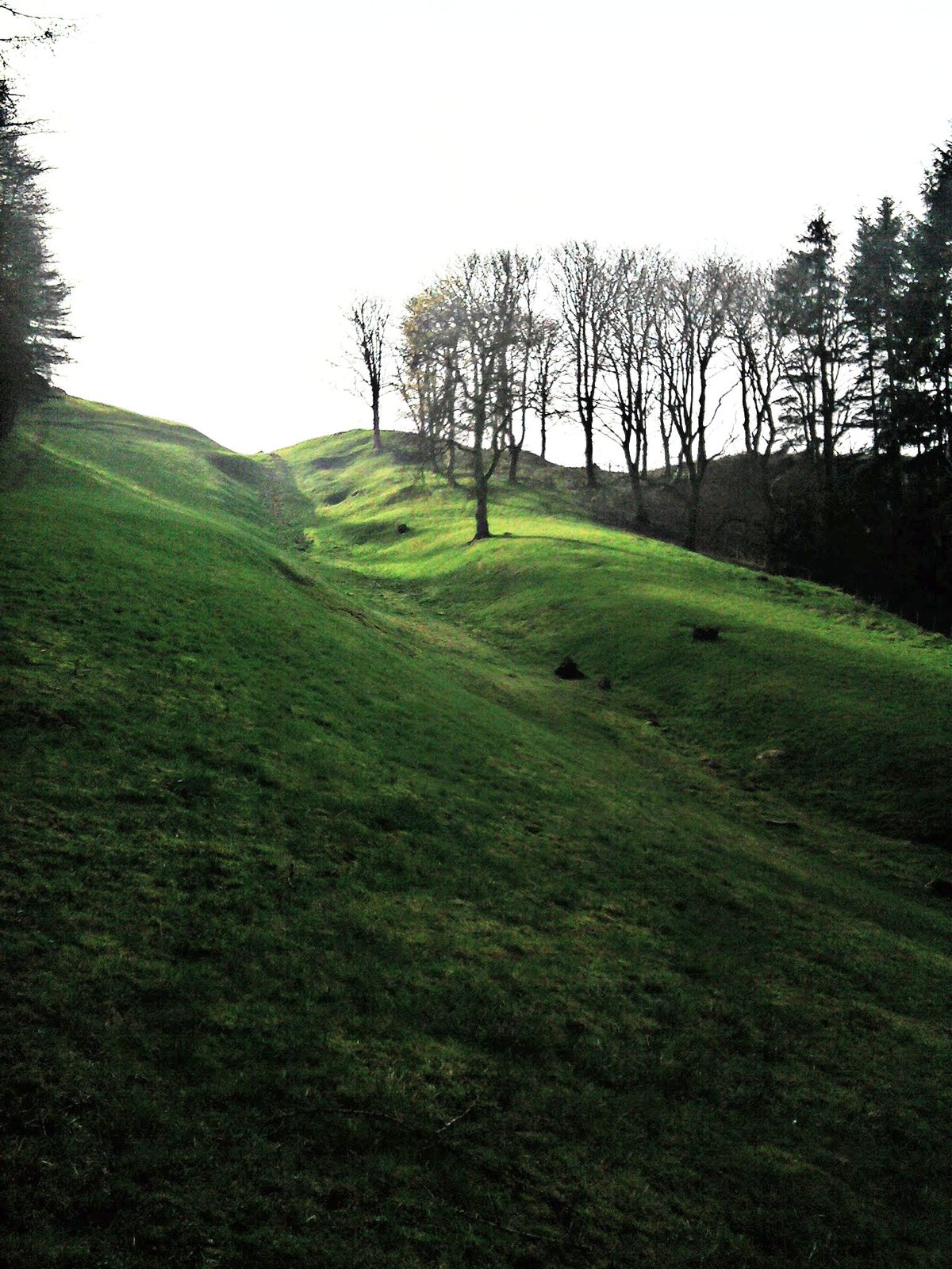
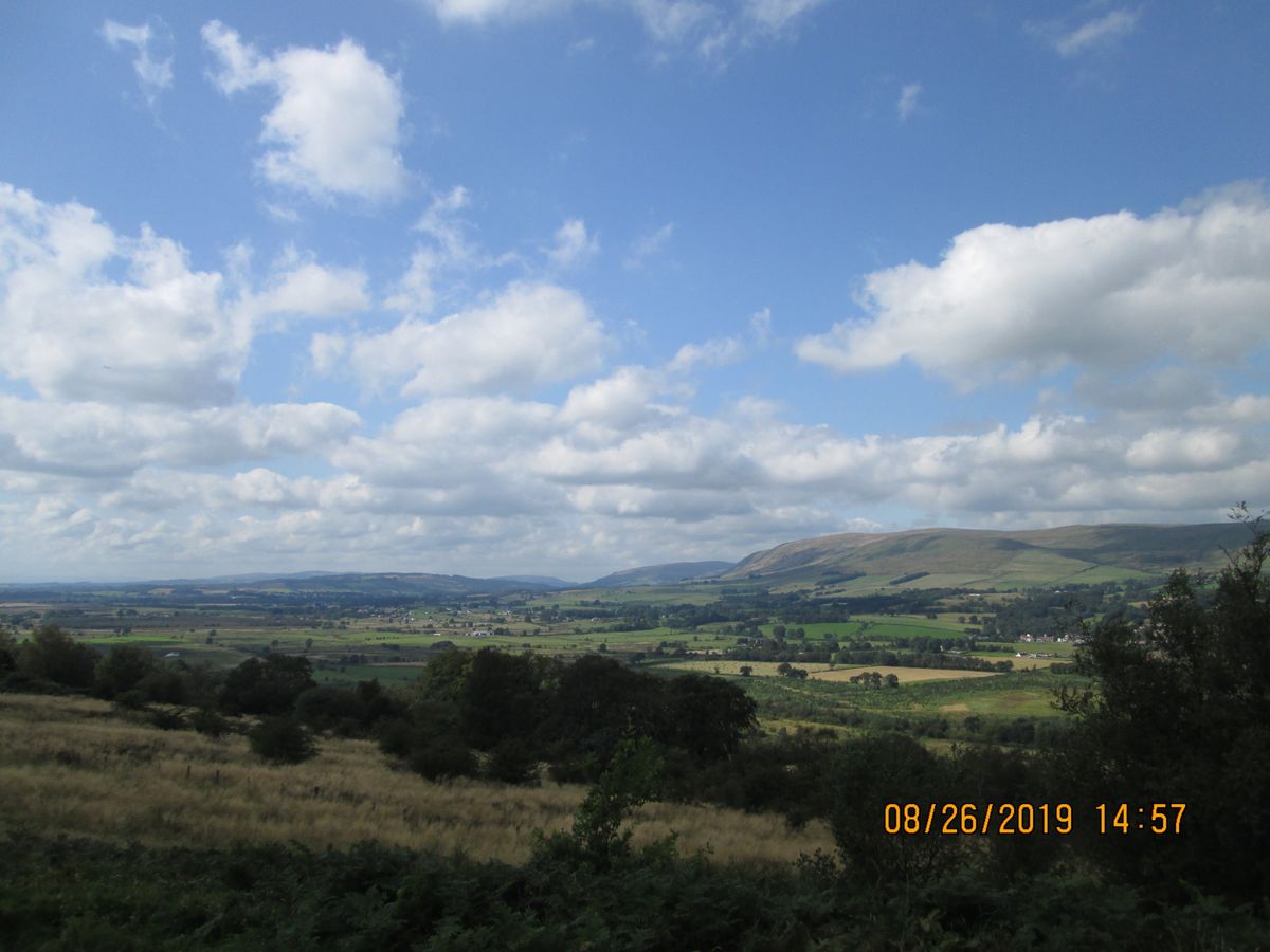
Time has not been kind to the abandoned wall, and much of the barrier and its forts have disappeared due to weathering and decay. However, what is left is protected and is now a UNESCO World Heritage site. Whether it's a simple scar in the land or the foundations of an ancient bathhouse, all these ruins are worth exploring.
Related Tags
Know Before You Go
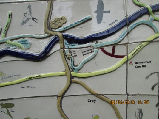
There are lots of educational places of interest and events celebrating Scotland's Roman past along this route. Check out this interactive map to choose which places to see.
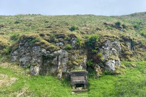
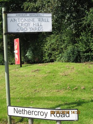
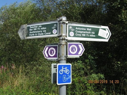
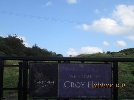
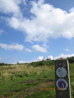
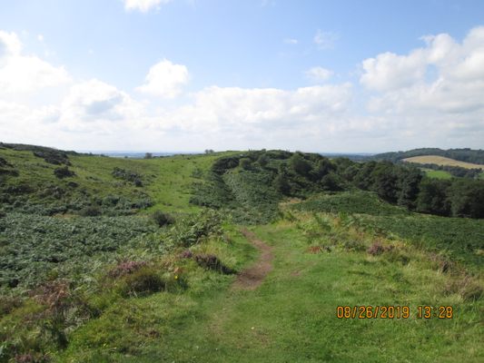
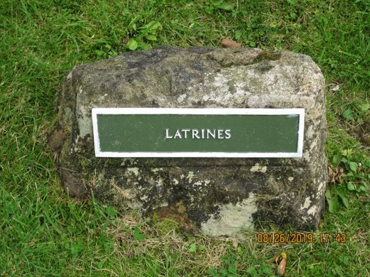
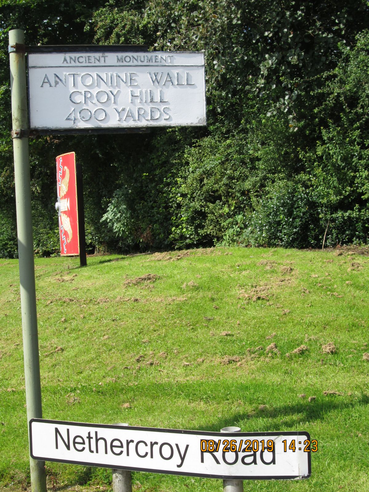
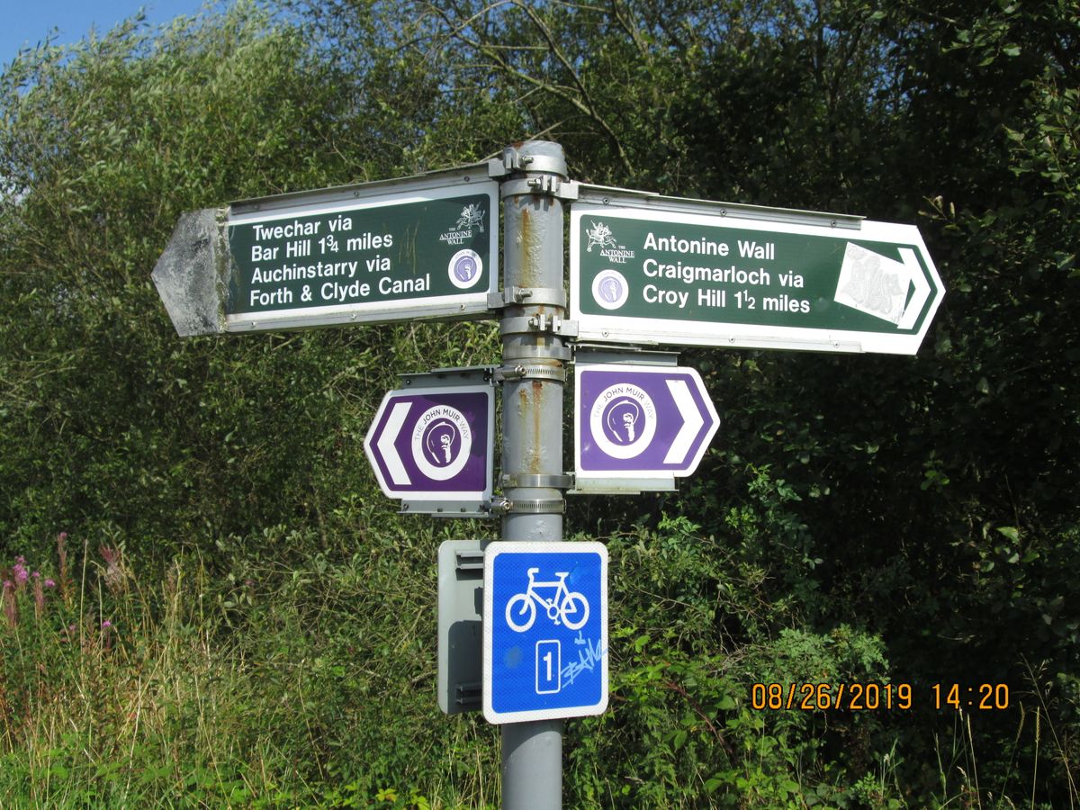
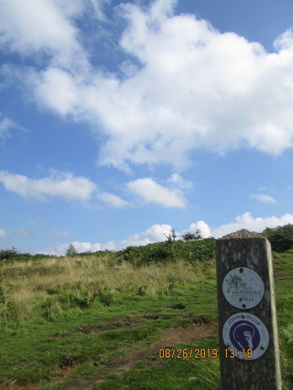
Highly recommend taking the John Muir trail to get to both Croy Hill & Bar Hill, the later contains remnants of an old fortress and bathhouse. It's a 10-15 minute walk from Croy Railway station heading northeast. When you get to Nethercroy Road (BBQ & Hand Car Wash) there is a juncture, to the right is Croy Hill, to the left is Bar Hill. To access Bar Hill you will have to walk down a farm road until you reach another crossroads where the sign for Bar Hill is located. To the left is a gentler & more gradual climb to the top, to the right (John Muir Way) is a steeper and uneven journey. The surface for both treks is not paved and it's advised to choose a dry, warm day to hike or wear appropriate footwear and clothing.
Flavors of Scotland: Beyond the Haggis
Smoked seafood, single malt whisky, and warm hospitality.
Book NowCommunity Contributors
Added By
Published
February 12, 2019