


About
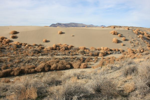
The Mojave River rises in the San Bernadino Mountains of southern California and flows north and east into the Mojave Desert, one of the driest and hottest areas in the United States. Its nominal endpoint is Soda Lake, a normally dry saline basin near Baker, California. Little wonder that water flows all along the Mojave's course only during the most extraordinary flood years!
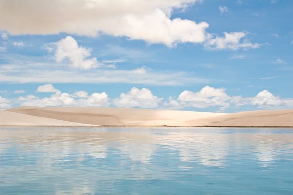
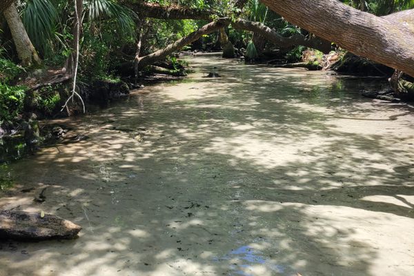
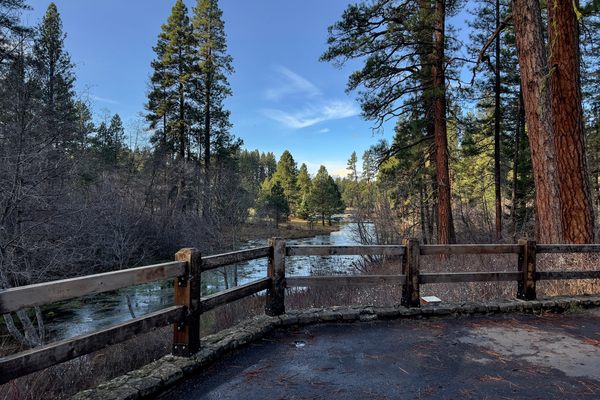
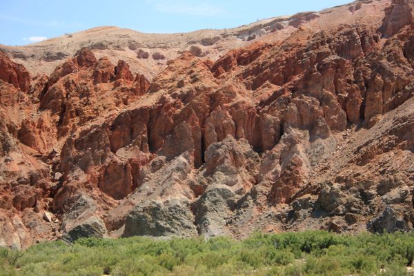
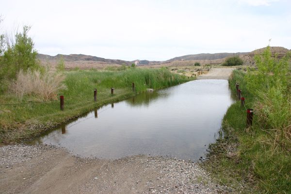
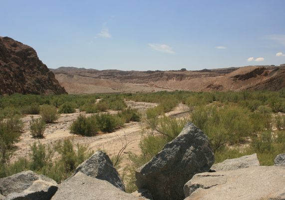
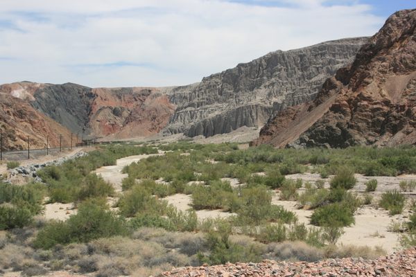
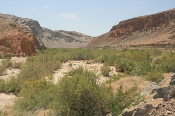
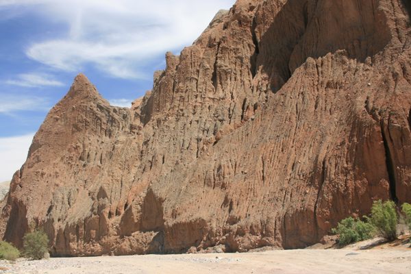
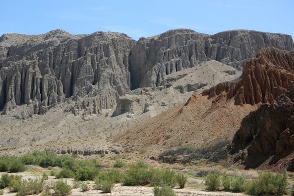
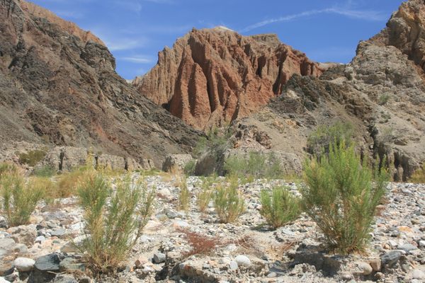
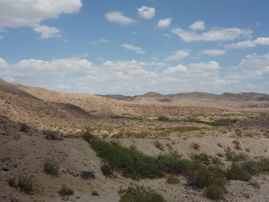
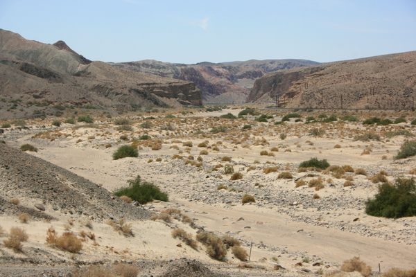
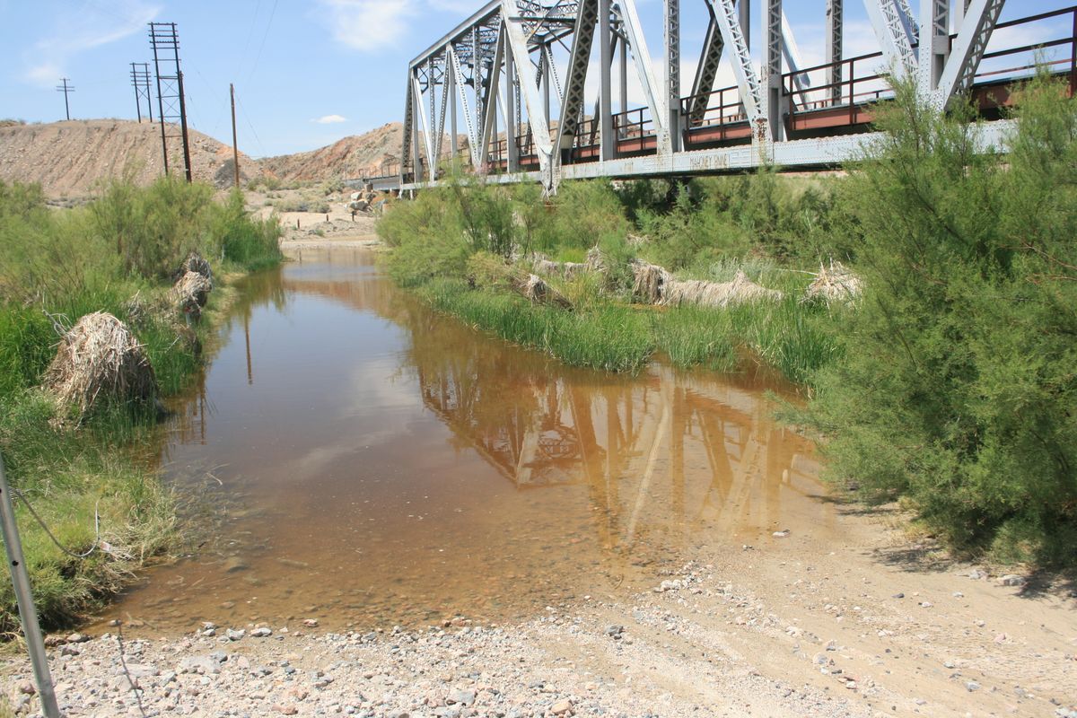
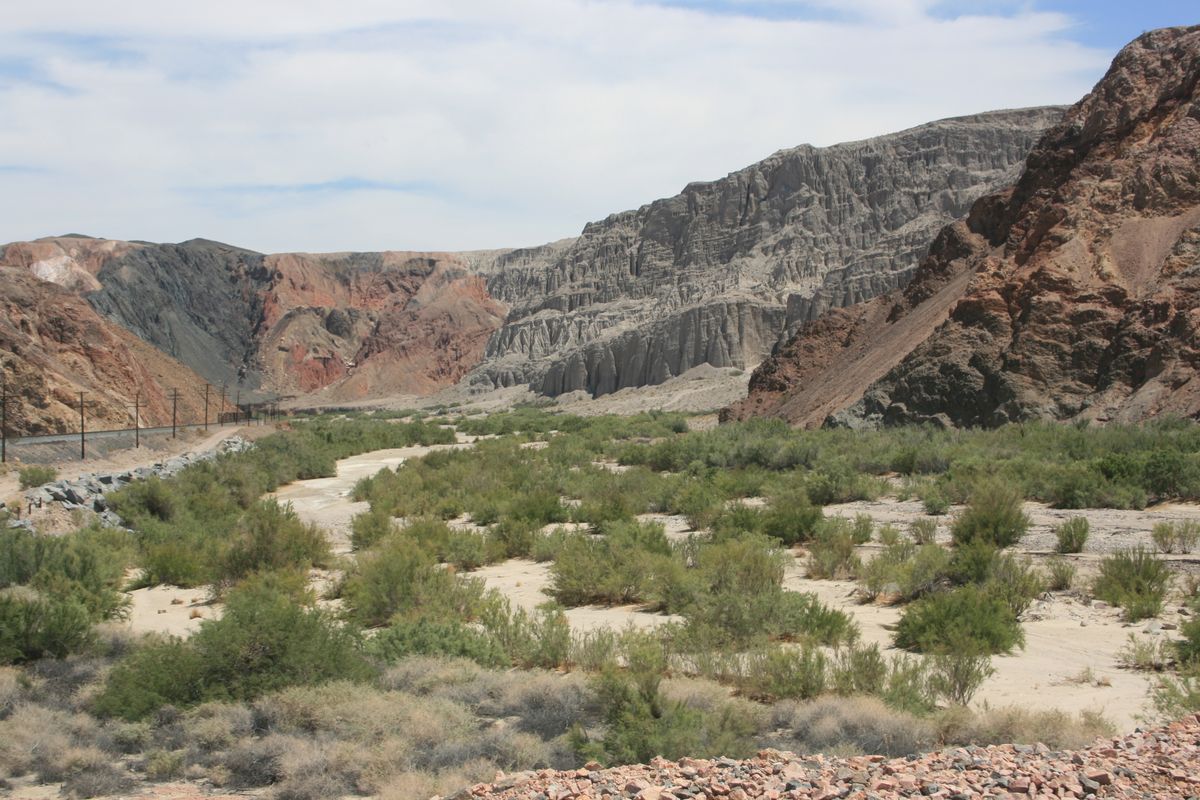
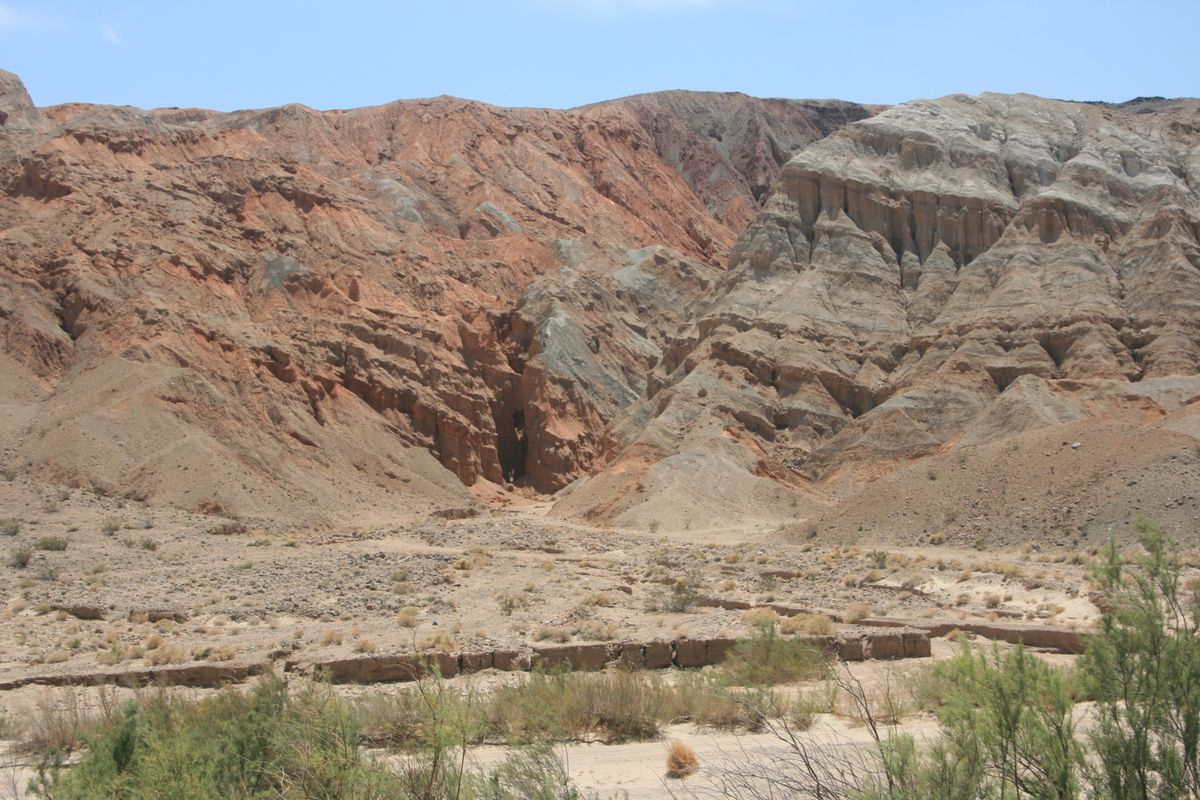
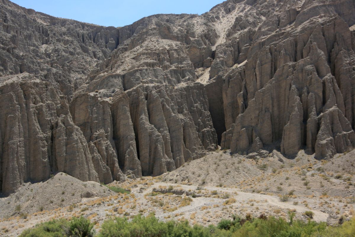
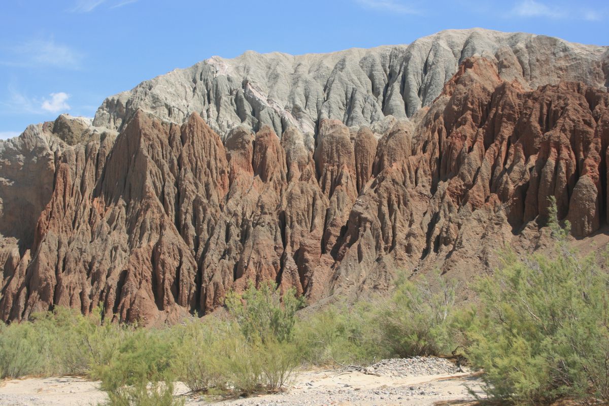
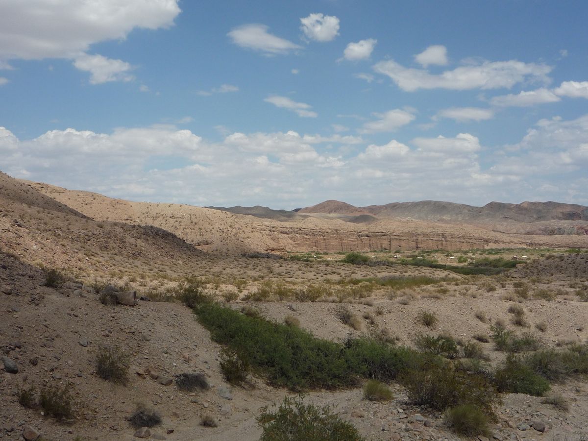
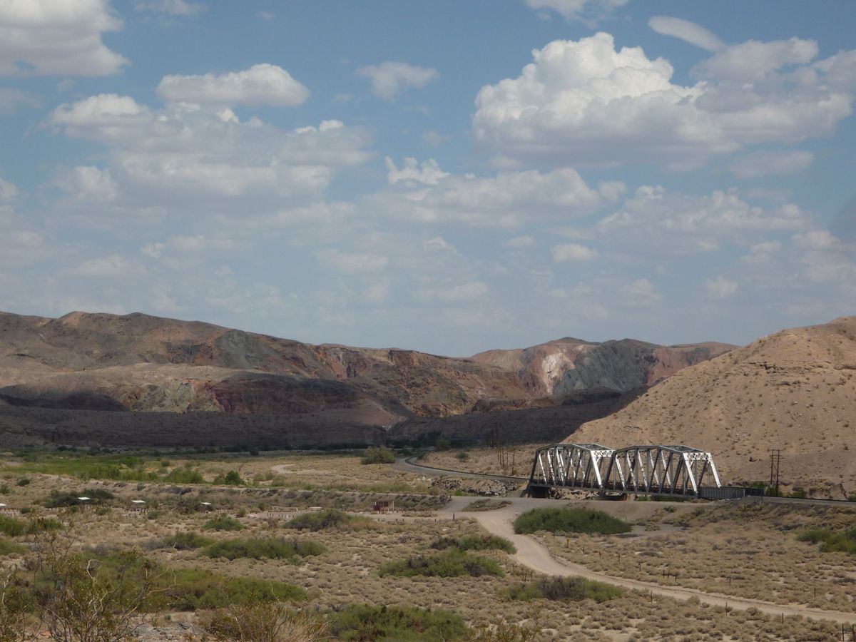
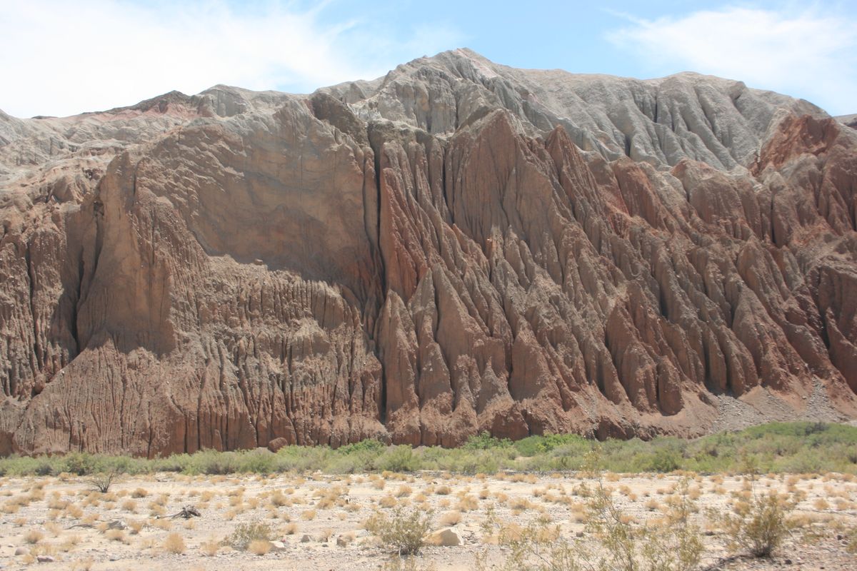
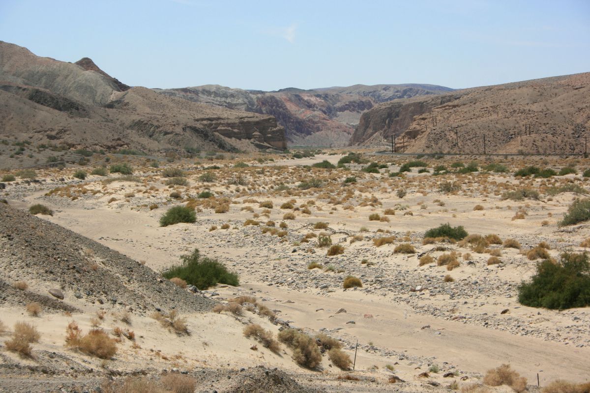
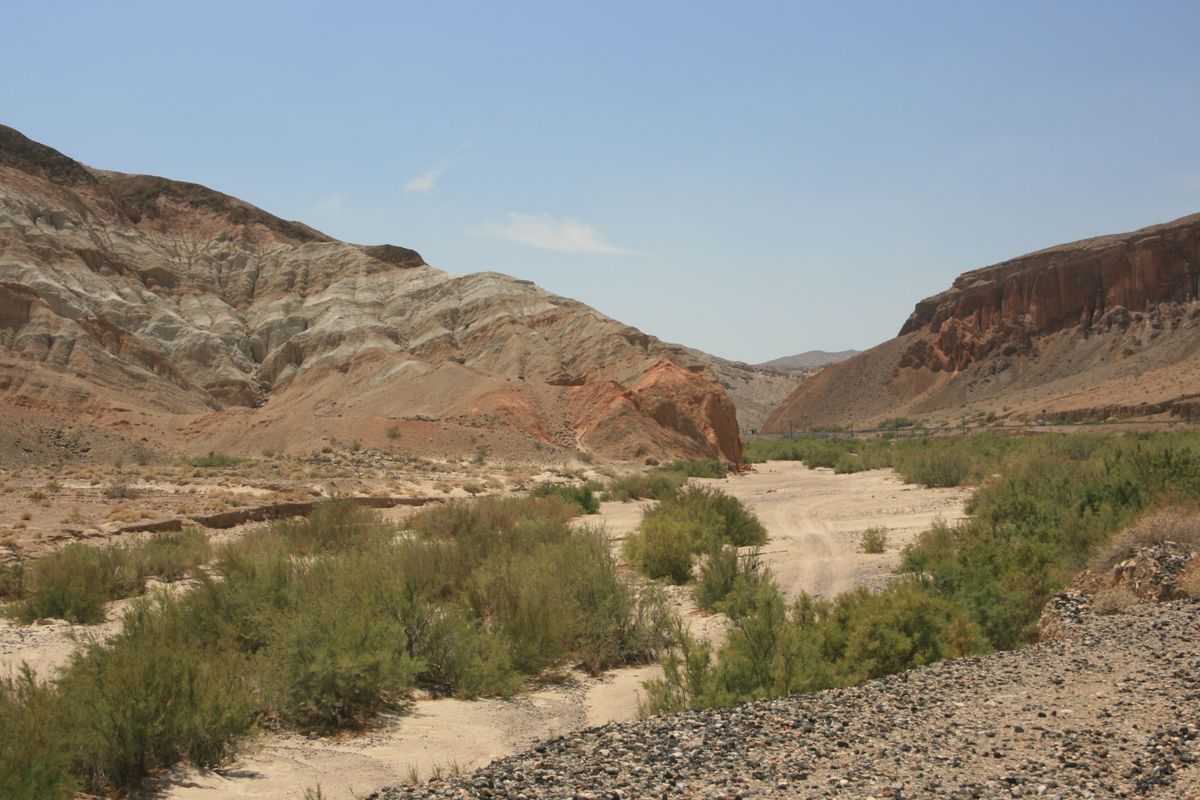
There is one unexpected place where perennial surface water always occurs along the Mojave, however: Afton Canyon, located less than 20 miles from the river's ultimate sump in Soda Lake. The bedrock in Afton Canyon is relatively shallow, because the canyon was formed recently (geologically speaking), and the water is forced to the surface. This occurrence is of extraordinary importance for wildlife, as it was for human inhabitants and visitors. The contrast of the ragged canyon walls, often in variegated red and pink hues, with the bright green vegetation along the watercourse, makes for an especially picturesque setting.
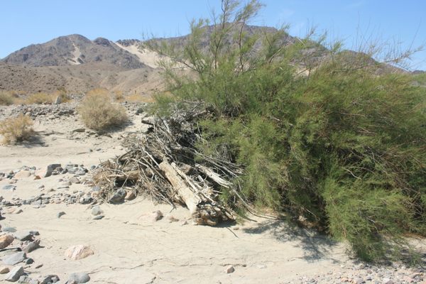
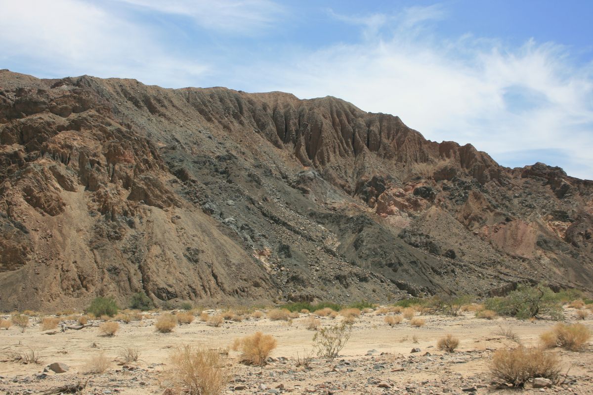
This canyon was formed only about 25,000 years ago, when Lake Manix, a Pleistocene lake to the west that was then the sump for the Mojave, overflowed into the Soda Lake basin. Rapid downcutting ensued because much of the underlying rock was very soft. As can be seen in the photos, much of it consists of coarse sedimentary rock barely more cemented than dried mud.
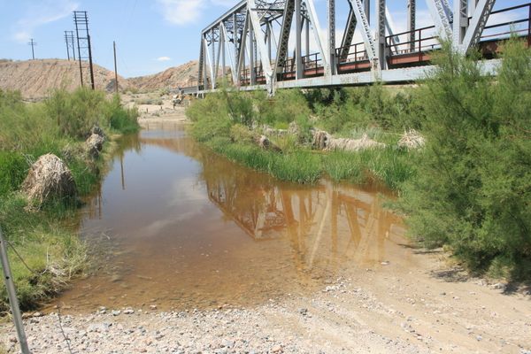
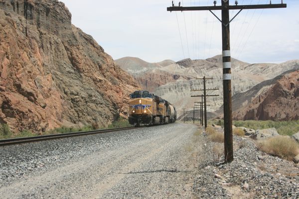
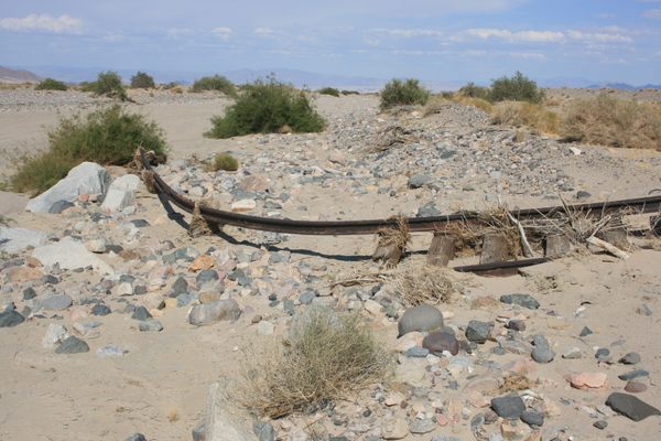
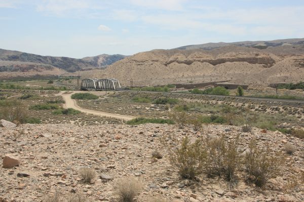
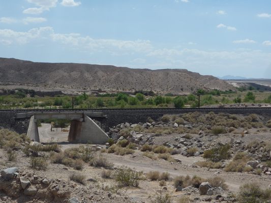
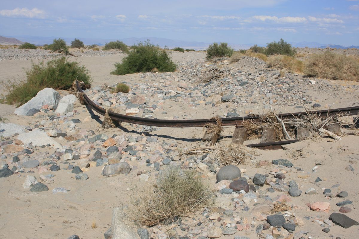
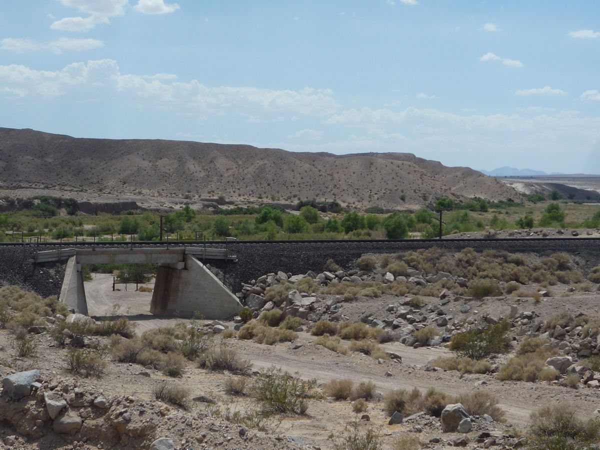
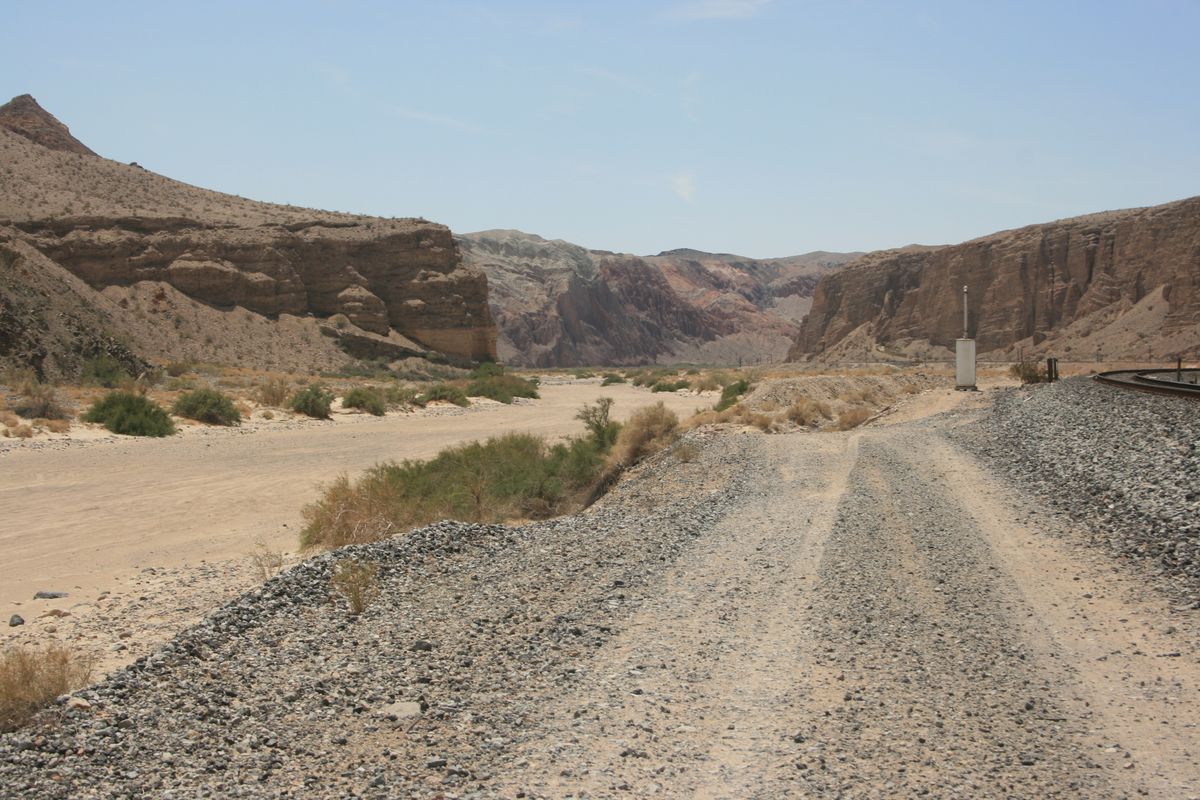
Afton Canyon is also the site of a major railroad, one of a handful of rail links into Southern California. Now part of the Union Pacific, it was constructed as the San Pedro and Salt Lake Railroad in the early 20th century. When in the canyon, you can expect to see one or more trains—take care accordingly. Those occasional enormous floods down the Mojave also have at times washed out parts of the right-of-way. One of the posted pictures is of a length of track, beyond the canyon where the watercourse spreads out, that has been twisted like a pretzel.
Related Tags
Know Before You Go
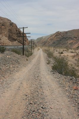
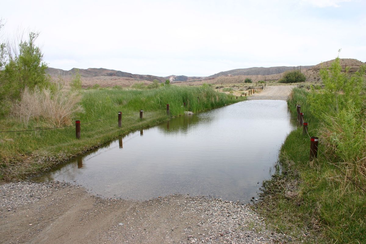
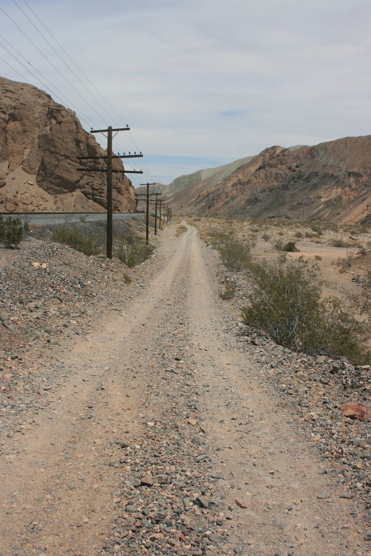
Either end of the canyon can be accessed from primitive roads off Interstate 15. Several deep fords near the west end, however, block through traffic for all but the highest-clearance vehicles (see the photos). Four-wheel-drive is also desirable in any case. On the west side, take Exit 221 onto the Afton (or Afton Canyon) Road and proceed south. Bear left where a graded road comes in from the right about 0.6 miles in. The road will drop into Afton Canyon. There is a campground in the canyon bottom just before the first big ford.
To access the east end, take Basin Road at Exit 230 off I-15 and proceed south. After about 2.1 miles, bear left off Basin Road at a shallow junction with Sileas Road. This junction is probably unmarked but is around 35.073958 N, 116.275518 W. Basin Road heads more westerly to some old mining sites off the canyon. Sileas Road will intersect Mojave Road in roughly 1.7 miles (35.05204 N, 116.28674 W). You want to turn right on Mojave Road. Through here the roads tend to be vague and washed out; use the GPS coordinates as a guide. Where the road crosses under the railroad bridge (about 35.042746 N, 116.309681 W) is effectively the beginning of the canyon. Again, high clearance will be mandatory and 4wd desirable.
Published
June 29, 2021