


About
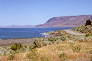
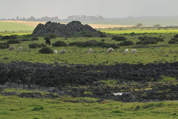
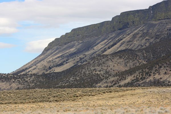
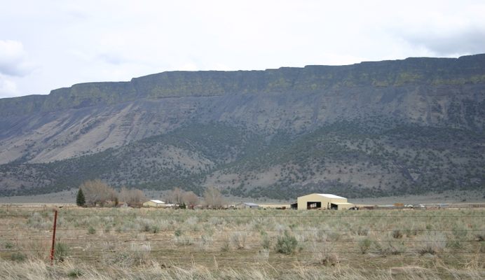
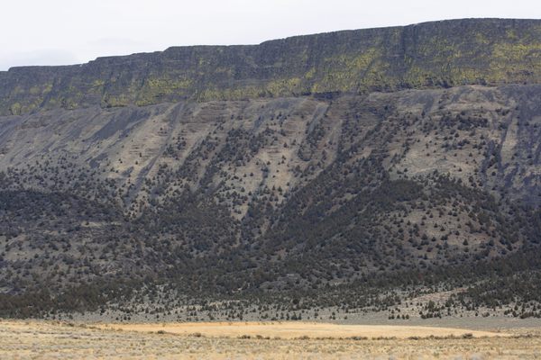
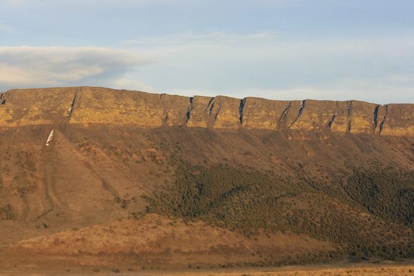
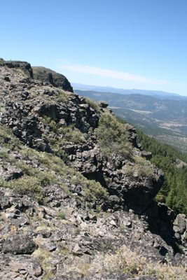
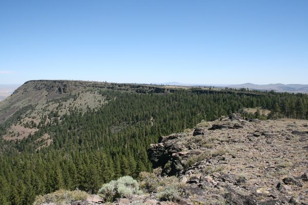
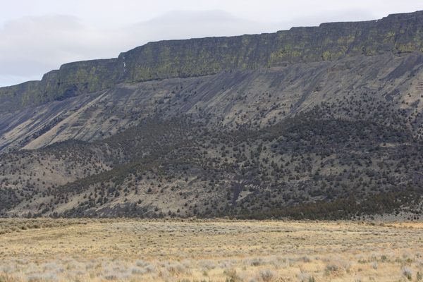
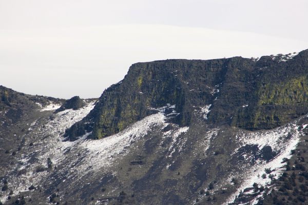
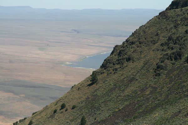
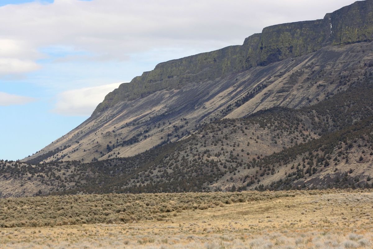
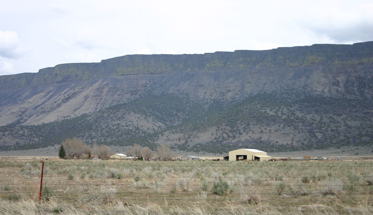
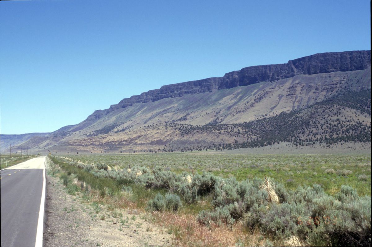
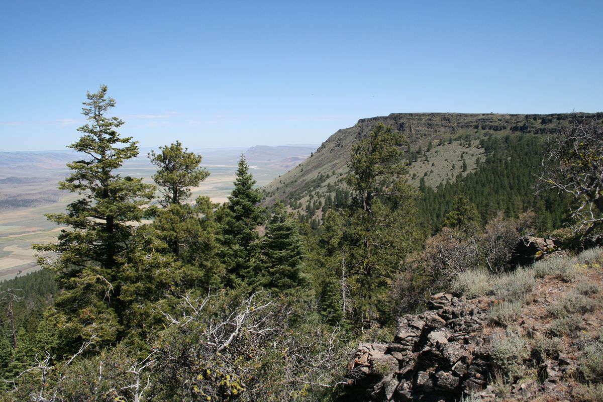
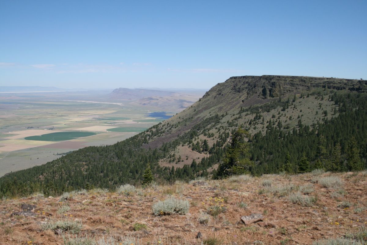
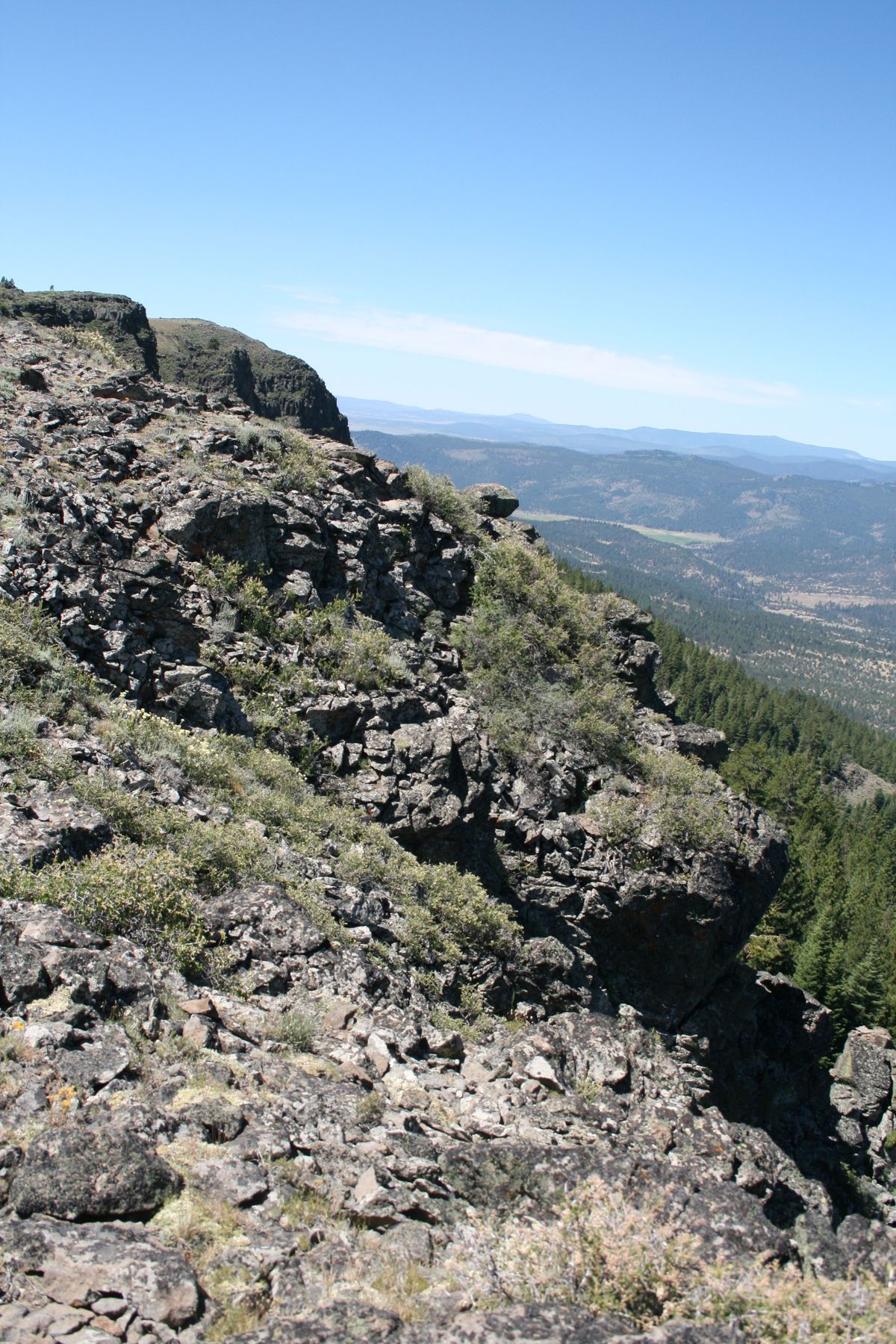
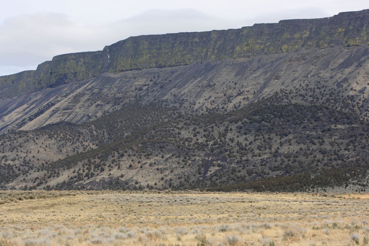
Located in south-central Oregon, the Abert (pronounced "AY-bert") Rim is said to be the longest exposed fault scarp in the United States, at some 30 miles (50 km) in extent. It's also one of the highest, with around 2,500 feet (~760 meters) of relief. The rim is topped with a thick (>800 feet; 245 meters) sequence of basalts that commonly forms a prominent dark capping cliff. These basalts are part of the extensive basalt eruptions centered around Steens Mountain some 80 miles east.
The Abert Rim is paralleled by US-395 on the west for most of its length. The rim was formed by crustal extension due to Basin and Range faulting, which extends into Oregon here. The faulting has occurred within the last ten million years or so.
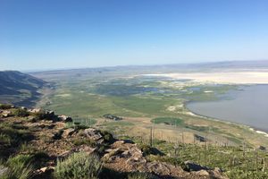
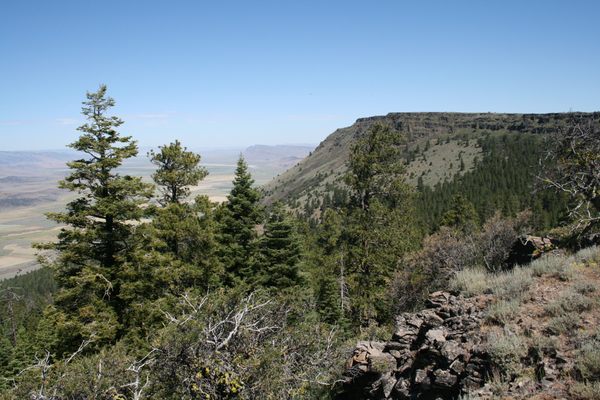
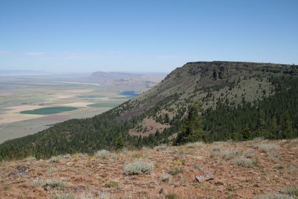
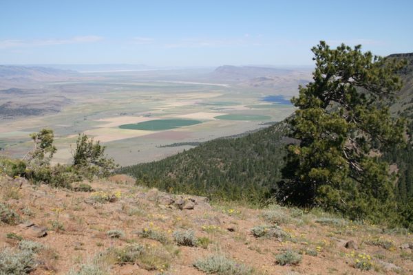
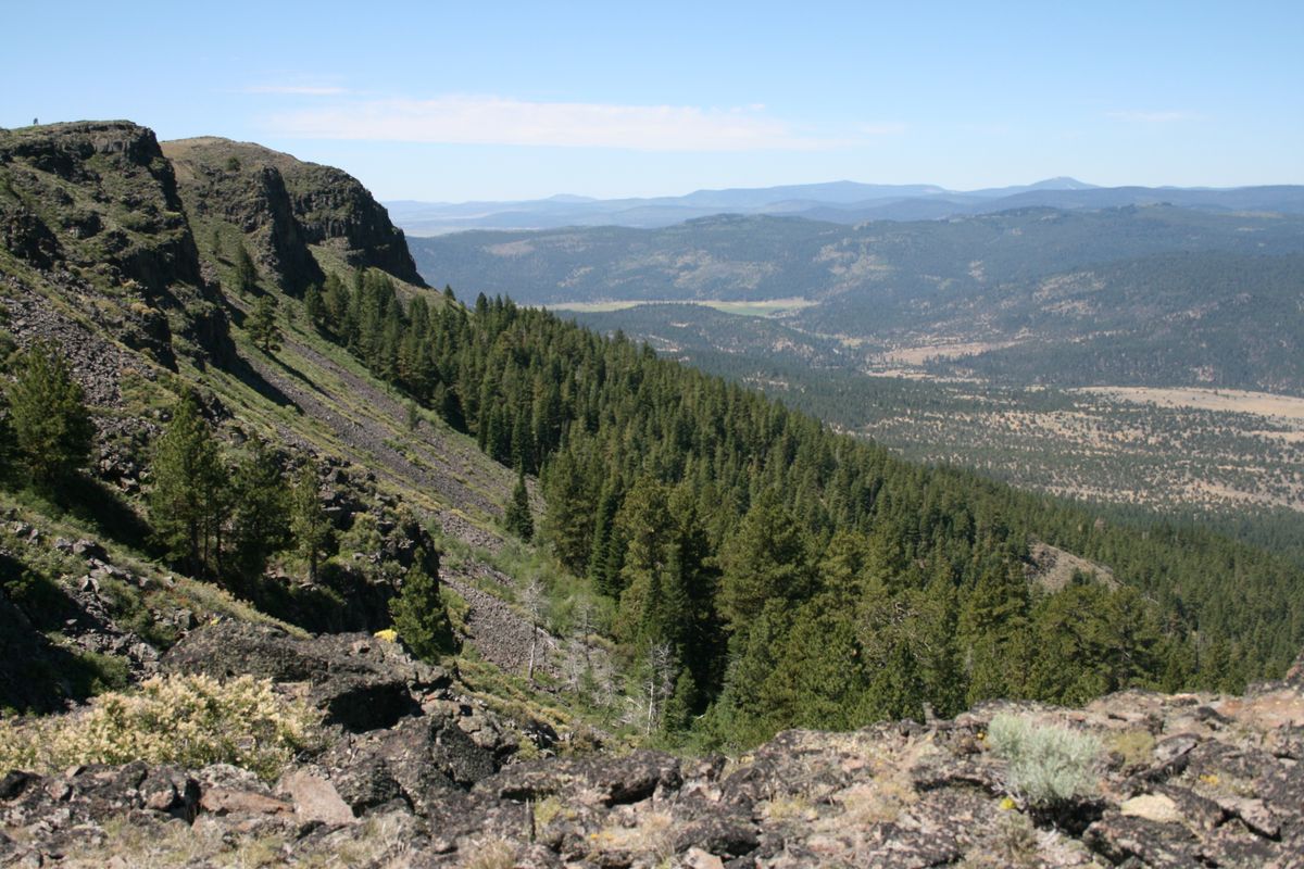
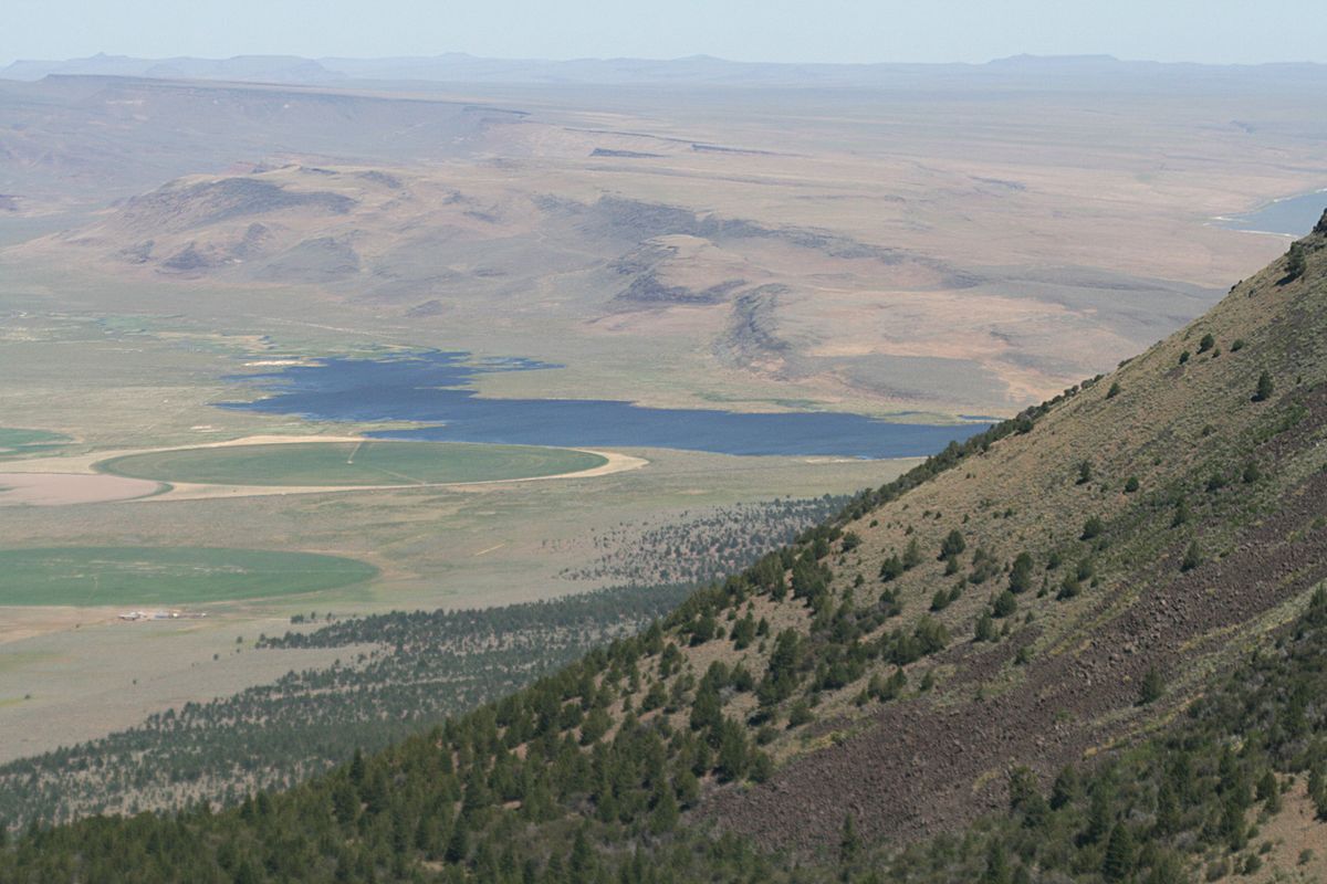
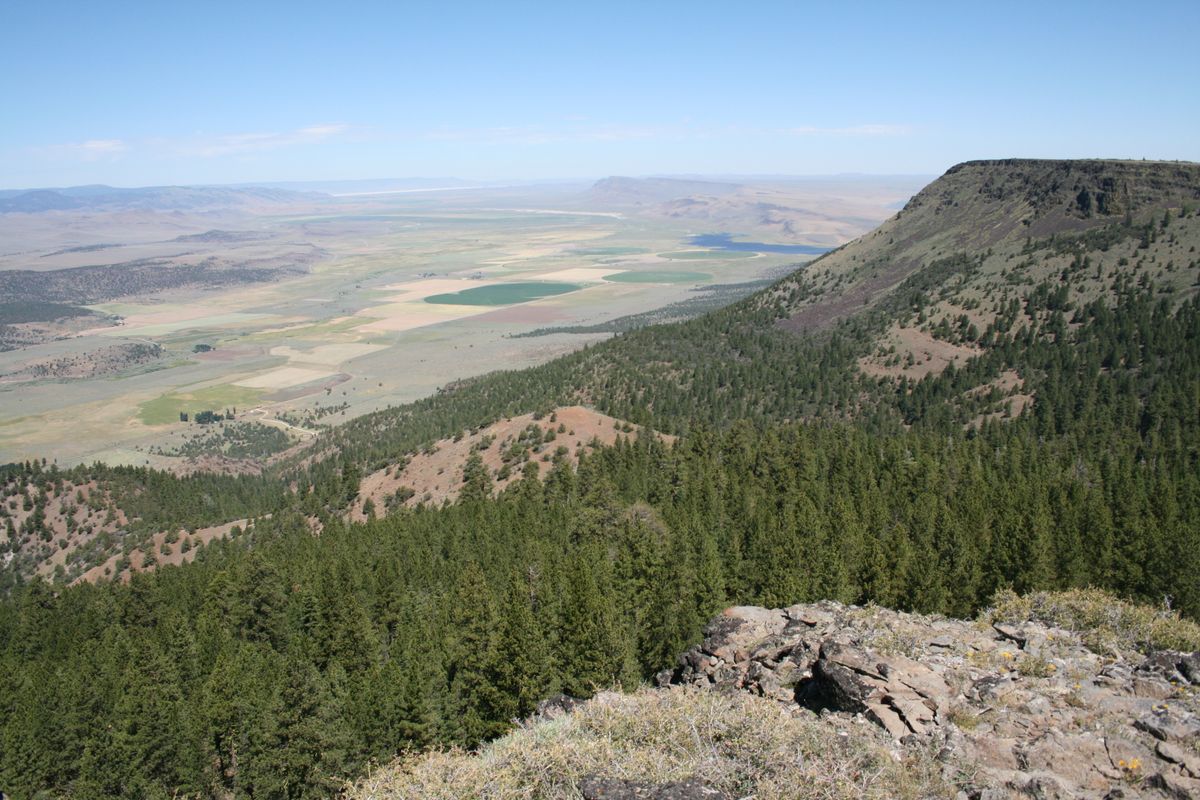
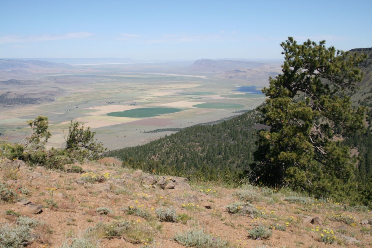
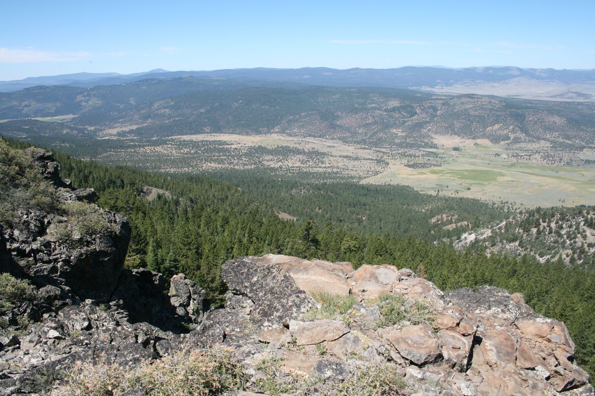
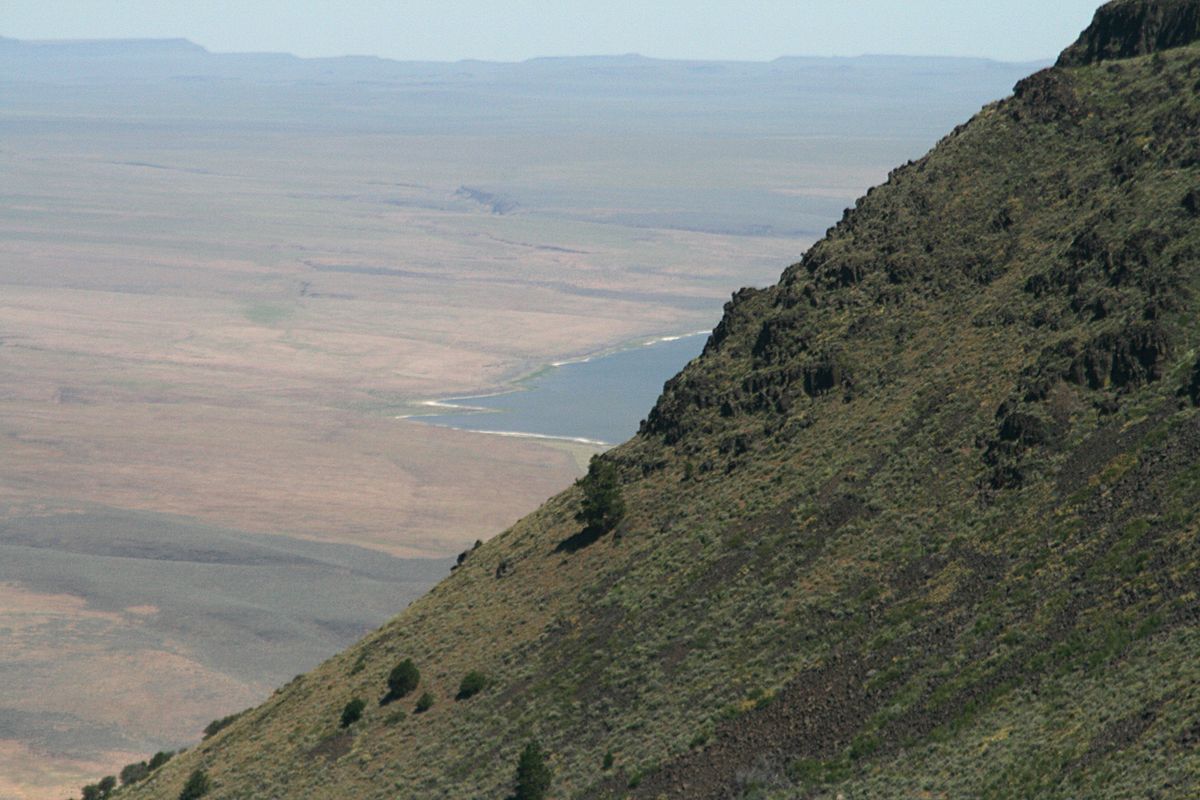
The rim is spectacular from below, but also provides breathtaking views from its crest. One of the easiest access points to the crest, sometimes called Tague's Butte after a hang-gliding enthusiast who popularized it, is near the southern end. As might be expected, this point is also a popular site for hang-glider launches.
The Abert Rim (and nearby Abert Lake) were named for John James Abert by explorer John C. Frémont, who came through this area in 1843. Abert was the head of the Corps of Topographical Engineers, which carried out explorations in the west before the U.S. Civil War, and he had authorized Frémont's expedition.
Related Tags
Know Before You Go
As mentioned, Abert Rim is visible all along US 395 for about 25 miles, from south of Valley Falls, Oregon northward.
To get to Tague's Butte, the most accessible viewpoint (and hang-glider launch site) on the rim, take Oregon State Route 140 8.0 miles east from its junction with US-395 north of Lakeview to the junction with USFS Road 3615 (at about 42.22548 N, 120.23088 W). Follow it north from OR-140 20.8 miles to the turnoff (at about 42.42285 N, 120.210836 W) to the viewpoint/hang-glider launch (aka Tague's Butte). Turn left here and go 0.7 miles up to the overlook/launch point, at roughly 42.43070 N, 120.21768 W. High clearance will probably be necessary on this last segment.
There are several primitive campgrounds in the vicinity. One, Mud Creek Campground, is right on USFS Road 3615; you pass it on the right about 6.2 miles in. A rustic cabin, Aspen Cabin, is off the road 7.3 miles in and can be rented from the Forest Service, but typically requires a reservation well in advance. Check the Fremont-Winema National Forest site for other campgrounds and cabins, as well as for places where primitive car camping ("boondocking") off established roads is allowed.
Gasoline and commercial RV camping are available in Valley Falls, where Oregon State Route 31 turns off to the northwest. Otherwise, the nearest full services are in Lakeview, Oregon, about 22 miles south of Valley Falls on US-395.
Community Contributors
Added By
Published
March 28, 2024
Sources
- http://www.oregonsoutback.com/todo/hanglide/tagues.html
- Orr, Elizabeth L.; Orr, William N. Geology of Oregon, 5th ed., Kendall/Hunt Publishing Co., 2000, pp. 85-86.
- https://www.flickr.com/photos/blmoregon/15156541104
- https://www.facebook.com/BLMOregon/photos/a.142647002423774.24515.121189811236160/1296176717070791/?type=3&theater