


About
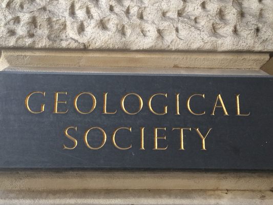
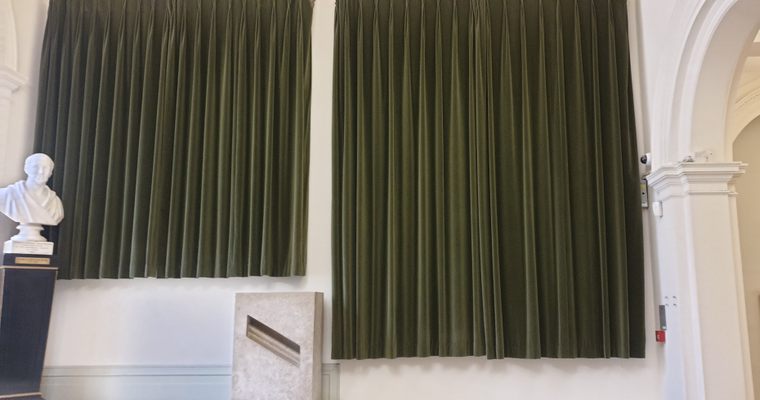
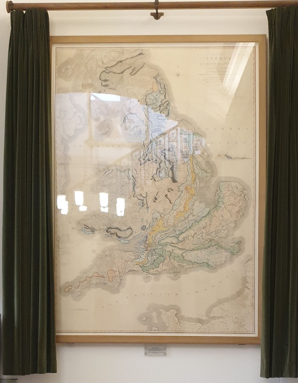
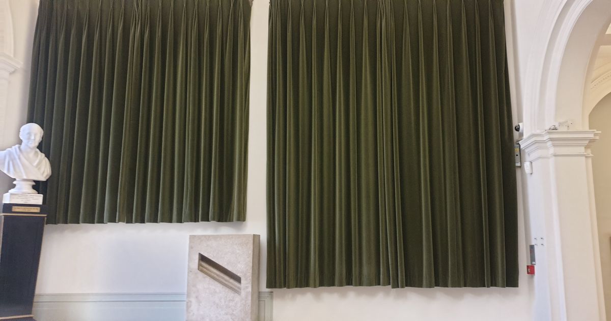
The lobby of the Geological Society building hides an incredible secret. There, concealed behind green velvet curtains at the foot of its east staircase, is “the map that changed the world.”
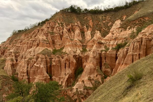
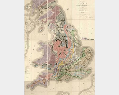
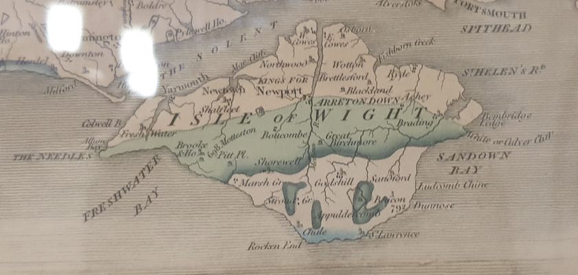
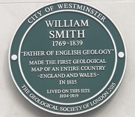
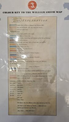
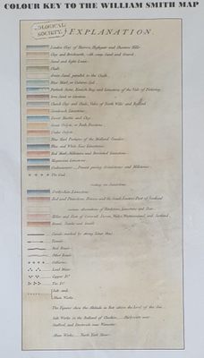
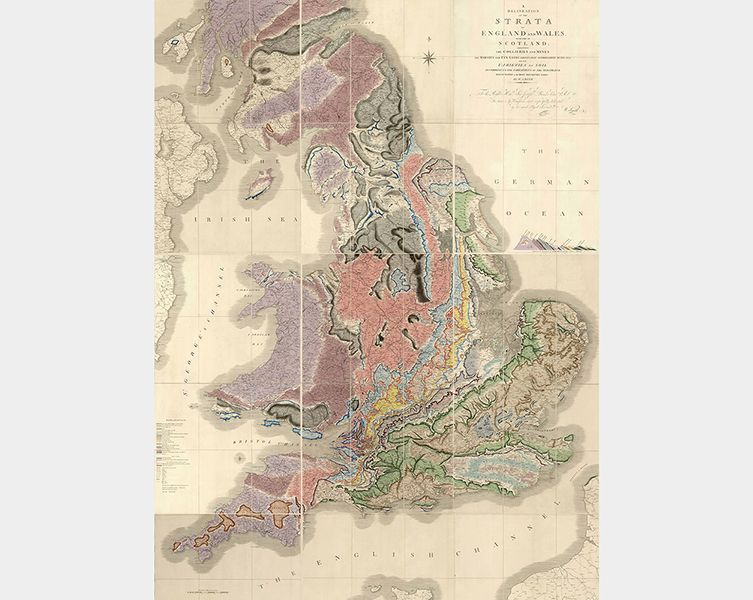
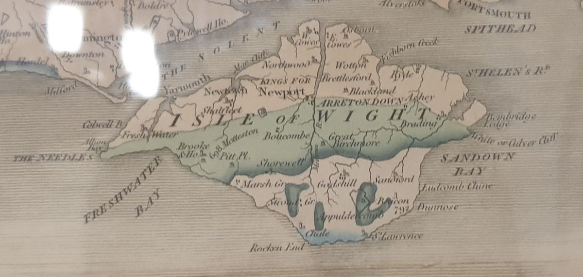
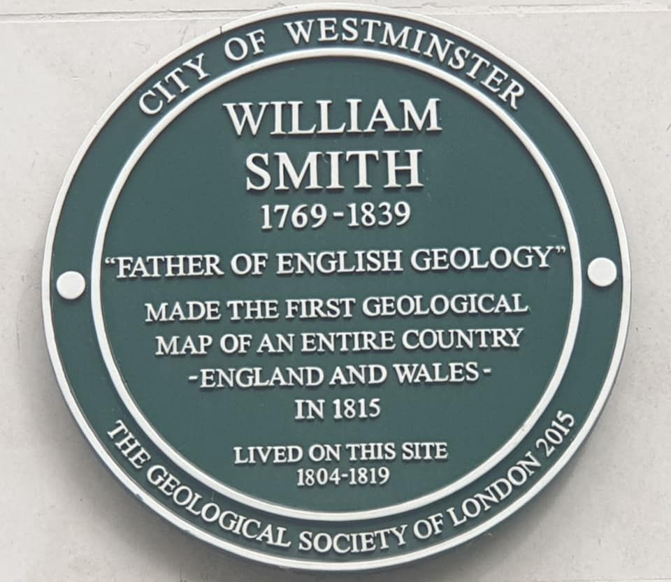
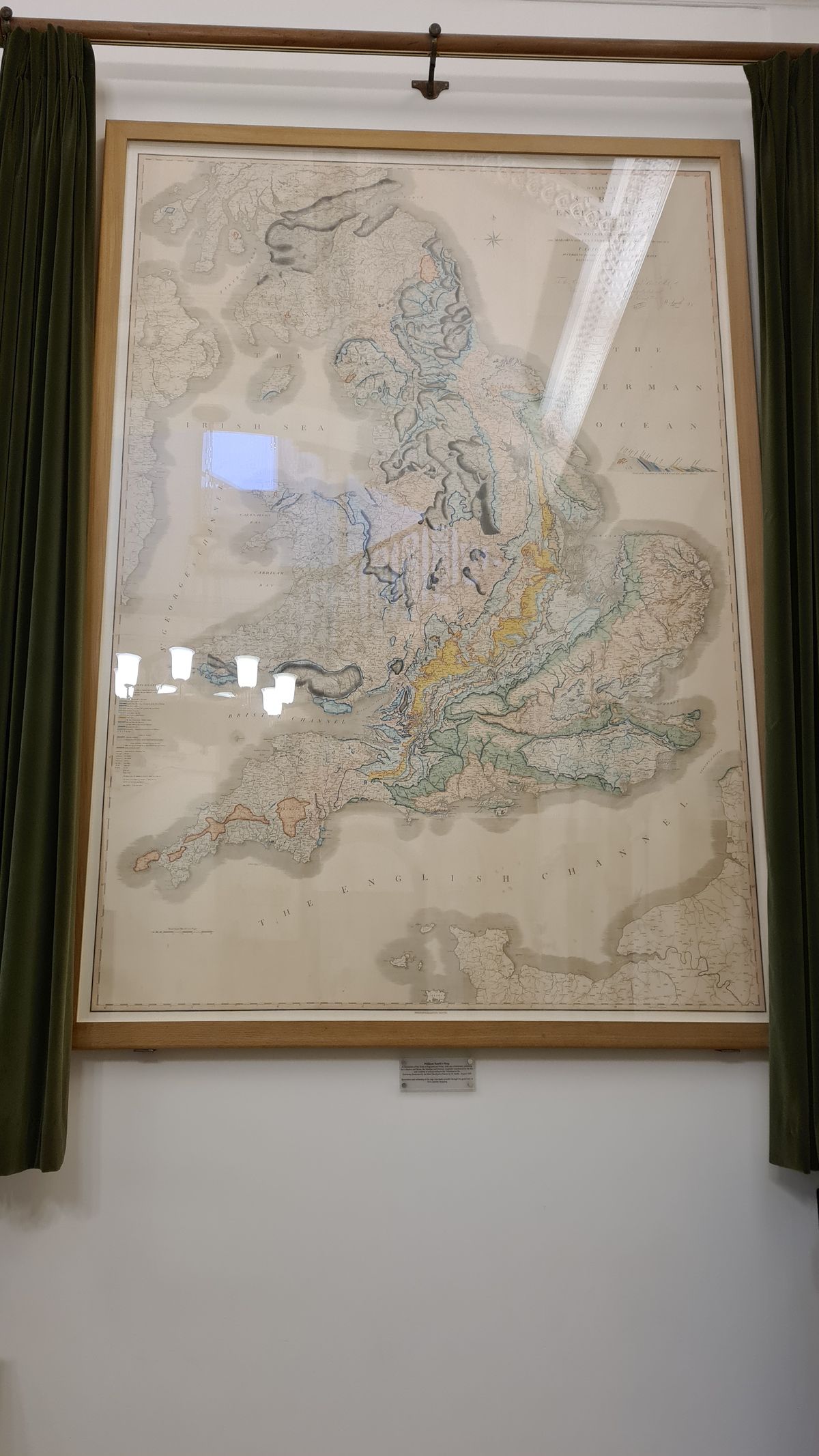
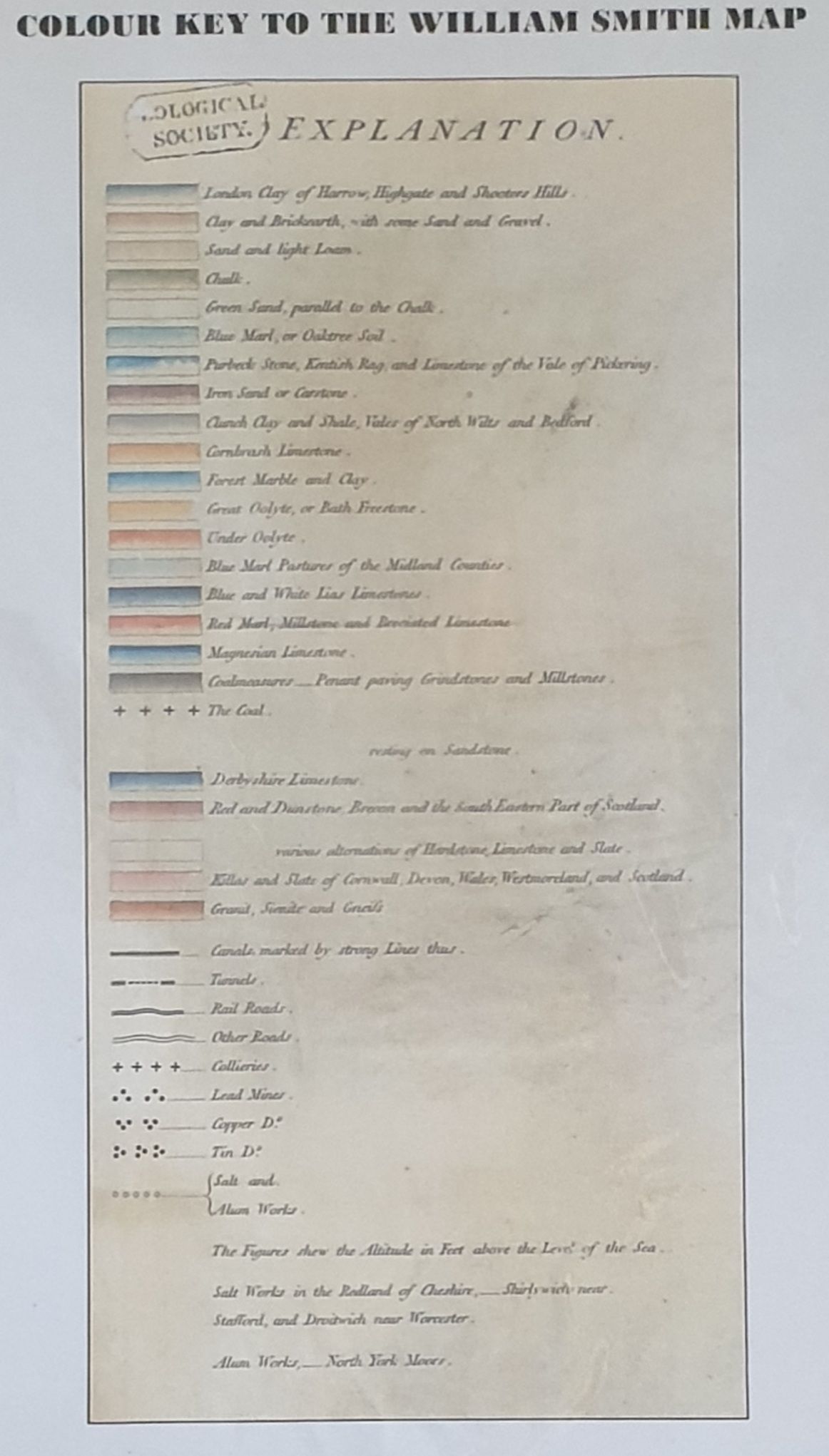
William Smith’s geological map is an iconic work of cartography that shaped modern geology. After years of surveying the Somerset Coal Canal, Smith observed and confirmed that the layers (stratigraphy) of rocks repeated across the terrain. He had made other similar observations in other areas of England, and also noticed that the fossils speckling the earth varied depending on the layer they rested in.
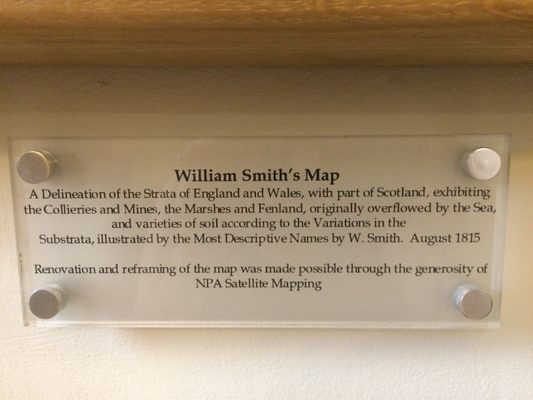
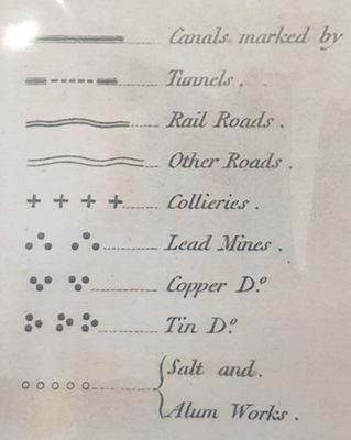
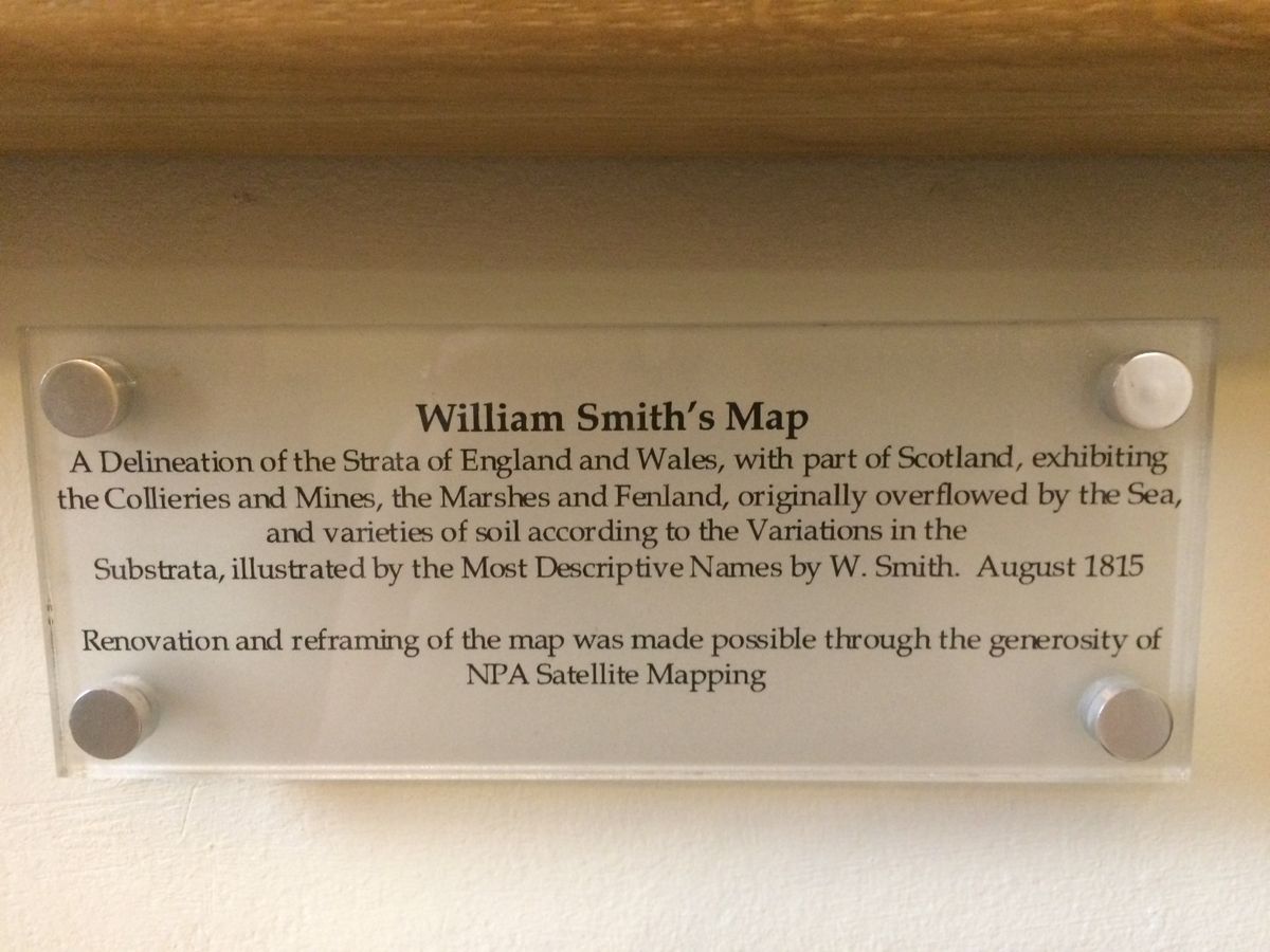
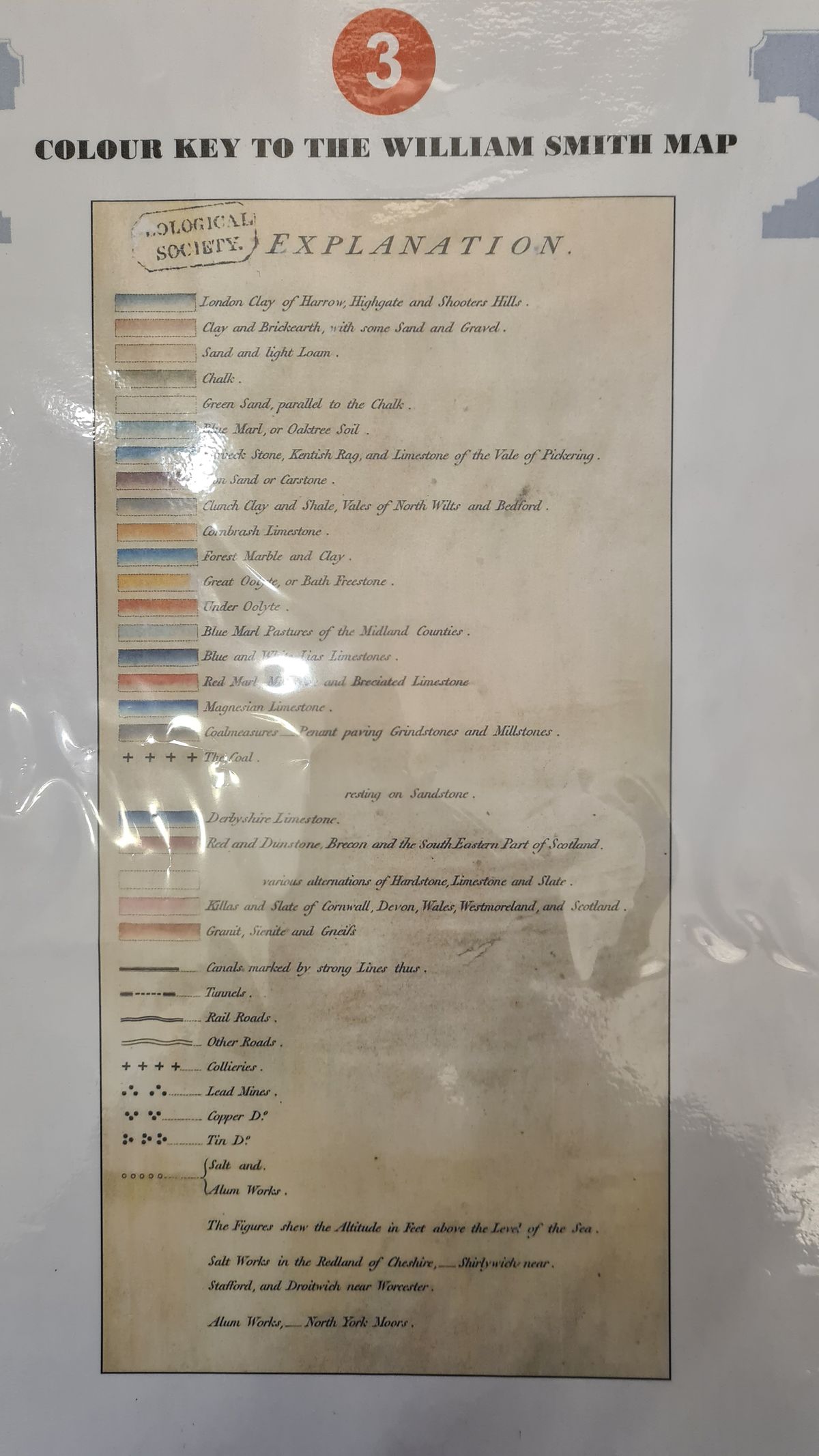
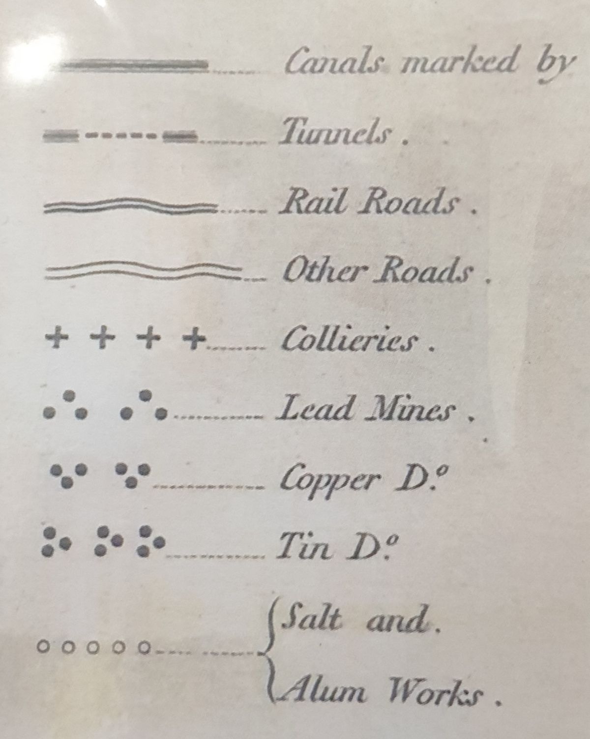
In 1815, Smith translated his findings into an exquisite map of England, Wales, and Scotland. The six-foot-by-eight-foot hand-drawn map was the first geologic map that covered such a large area in such detail. The vivid colors representing the strata that stripe the land create a wonderfully vibrant work of art that’s as beautiful as it is useful.
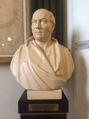
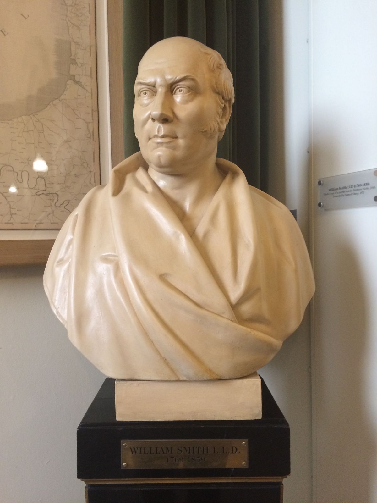
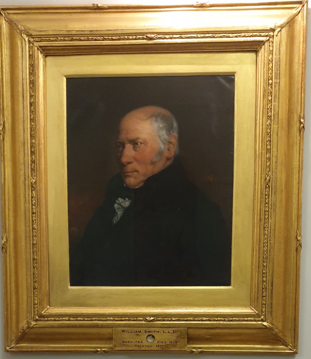
Smith’s groundbreaking work earned him the title of the “father of English geology.” His hypothesis that you can date strata based on the fossils it contains is known as the Principle of Faunal Succession.
Related Tags
Know Before You Go
You can view the map during the Geological Society's office hours, which are from 9:30 a.m. to 5 p.m., weekdays only.
It's also recommended to read The Map That Changed the World by Simon Winchester.
Published
January 9, 2019