


About
Most of San Francisco's Financial District used to be underwater. The area where you can now find the iconic Transamerica Pyramid building on Montgomery Street, the bustling Ferry Building on the Embarcadero, all the way to the Oracle Park on King Street, is built on top of a massive landfill.
Before the Gold Rush of 1849, San Francisco was known as Yerba Buena, Spanish for good herb. The early settlers of the coastal port named it for the abundance of this plant species. As word began to spread that fortunes could be had by mining the riverbeds of the nearby Sierras, the quiet trading post quickly became a den of vice and depravity nicknamed the Barbary Coast.
What was once a quiet settlement of a few dozen people exploded into teeming masses of greedy fortune hunters and even more insatiable profiteers. To accommodate the influx of people, shanty towns were quickly erected. Construction couldn't keep up with the massive arrivals, and long piers where constructed to service the ever-increasing shipping traffic. Many of these jetties would become the streets that make up the city's financial sector today.
For many of the newcomers to California, there wasn't much of a choice but to live close to the city, which meant that a large percentage of the population lived where they worked. City officials soon realized that it might be more expedient to fill in the bay than to expand in other directions. So they piled in whatever they could get their hands on, including remnants of dilapidated and burnt out buildings, abandoned ships, and sections of the adjacent Telegraph Hill that were removed by dynamite.
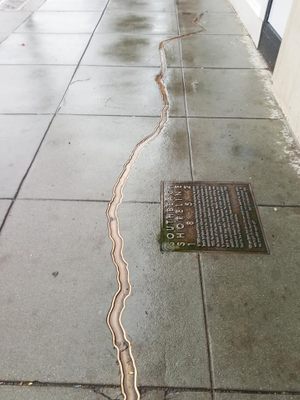
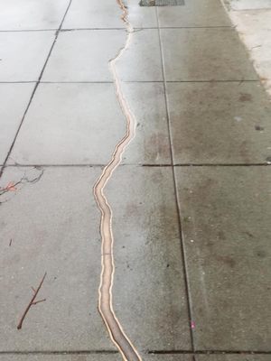
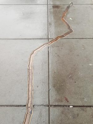
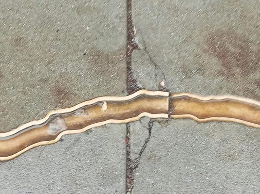
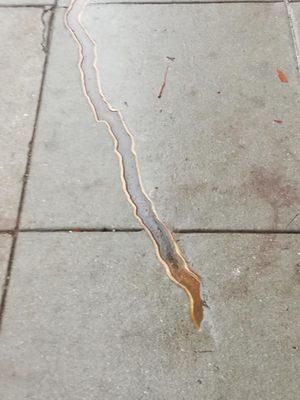
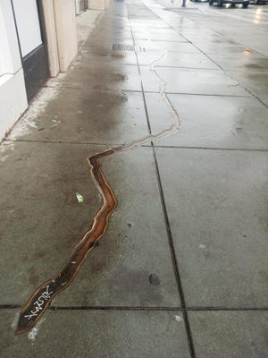
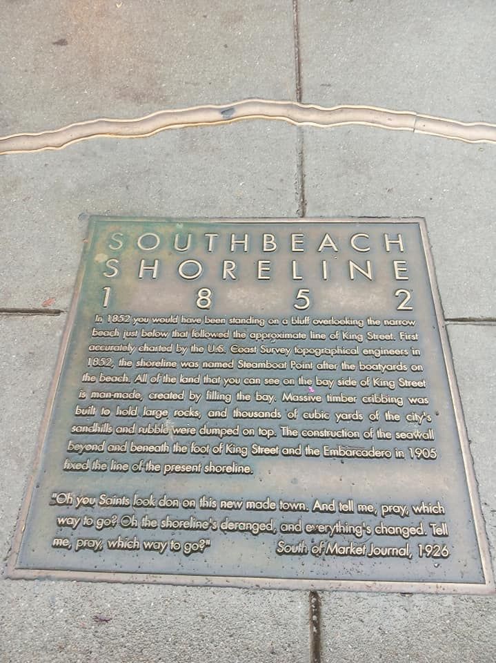
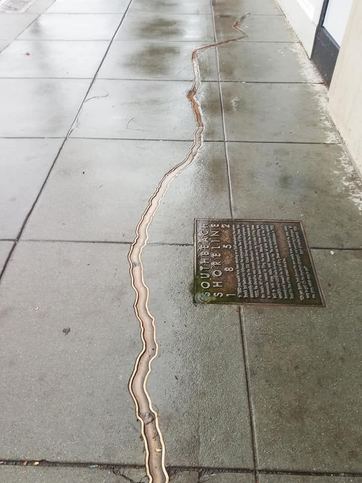
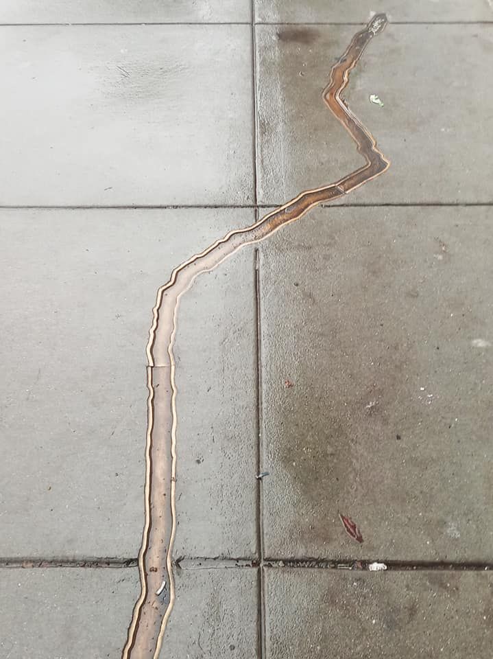
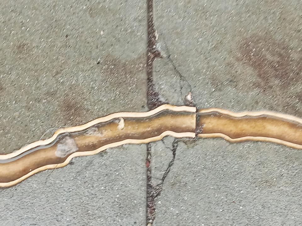
The San Francisco Arts Commission had a plaque and outline of the 1852 coastline installed for one of its Water Transportation Projects. The plaque informs the visitor of their surroundings and includes the following quotation from the 1926 South of Market Journal: “Oh you Saints look don (sic) on the new made town. And tell me, pray, which way to go? Oh the shoreline’s deranged and everything’s changed. Tell me, pray, which way to go?”
Related Tags
Know Before You Go
The marker is located on the street opposite from the Oracle Park Stadium, and one block east. It is free and accessible 24/7.
Published
February 12, 2020