


About
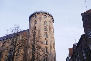
The Rundetårn is a famous Copenhagen landmark due to its unorthodox stairless way of ascension. However, unbeknownst to many, this place was also an observatory and a geodesic point of interest.
The tower, built-in 1637, was a scientific center point of the city at the time. Its large library made it a meeting point for great minds and people of great standing. Likely exactly due to this reason, it was decided to make the tower the midpoint of the country, and hence the whole world on Danish maps.
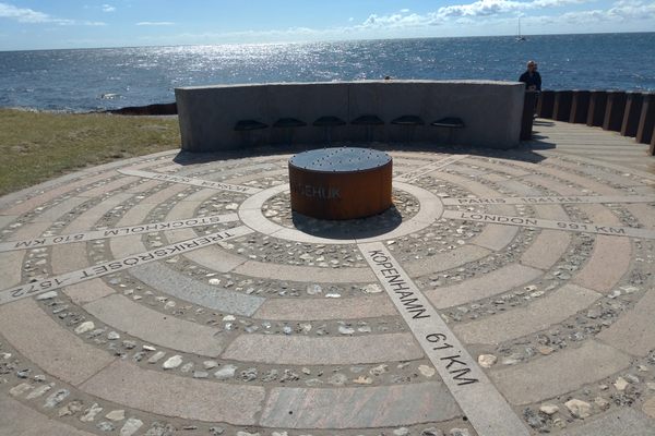
The practice started in 1762 by Bugged and Wessel but continued well into the 20th century until Greenwich was picked as the international meridian and point Nemo as the international zero point.
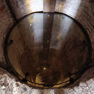
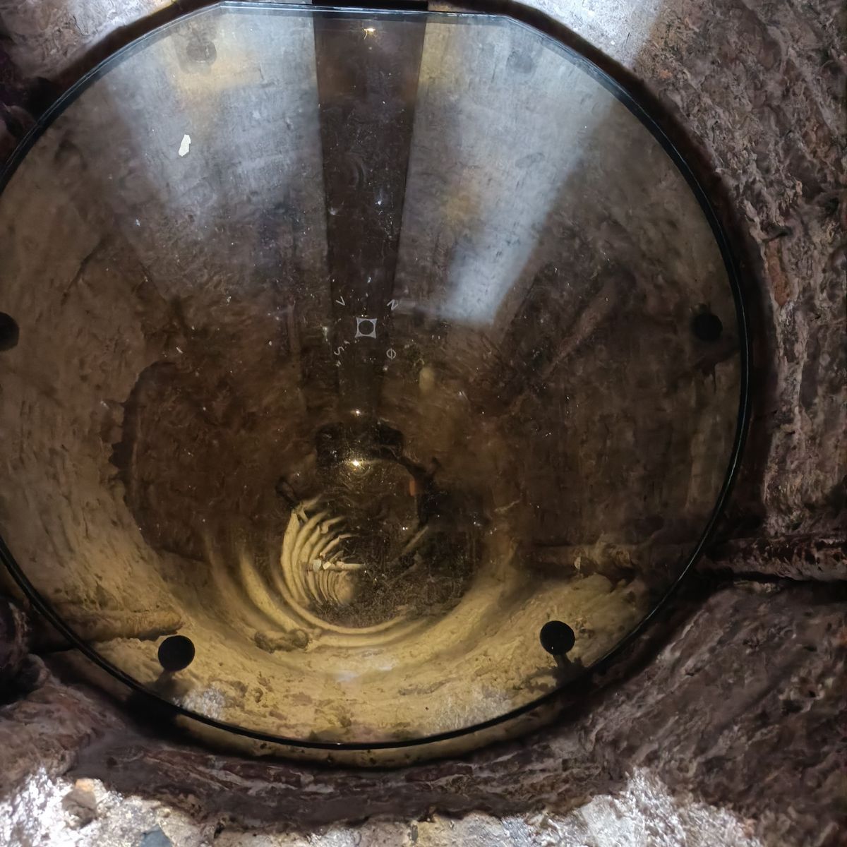
The tower still functions as a local midpoint, as all signs that show a distance to the capital are calculated from this location. And unlike most geodesic midpoints, you can actually stand on this one since the middle of the tower is hollow and open for visitors to stand on by means of a large glass plate.
Related Tags
Know Before You Go
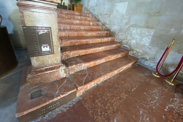
Check the website for opening hours and admission fees. The hole is visible near the top of the tower through a little gate in the central column.
Community Contributors
Added By
Published
July 7, 2022