AO Edited
Museo Nacional de Cartografía
This museum dedicated to cartography is housed in a former 17th-century convent.

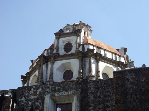
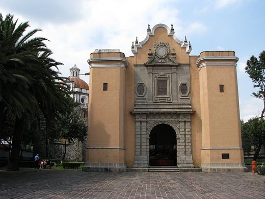
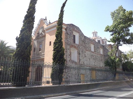
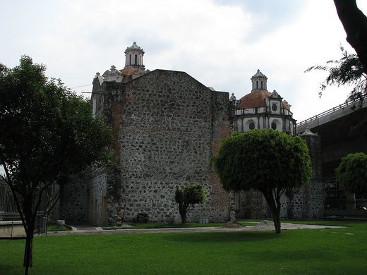
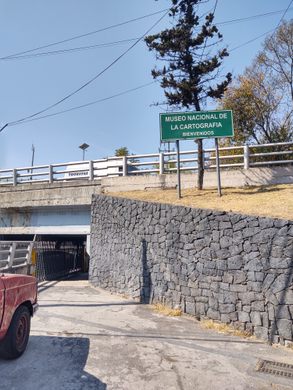

While maps are unquestionably one of the most important elements in traveling and tourism, the actual science and artistry behind their creation are often ignored. Mexico City’s National Museum of Cartography aims to remedy this and has the location to do so. The former Convent of San José was built in 1686 to serve what was then the town of Tacubaya in the city’s periphery. It would serve that function until the 19th-century.
Due to a history of conflict in the following decades, the building would fall into ownership of the Mexican Army by the end of the century. By the late 1910s, it was used as a weapons depot and in 1935 the building was a factory for the military. The National Secretariat of Defense, one of the country’s modern-day armed forces institutions, continues to own the building. The idea to open a cartography museum originated from the Secretariat itself.
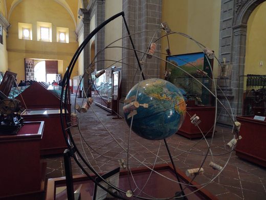
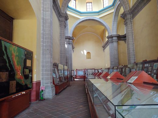
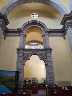
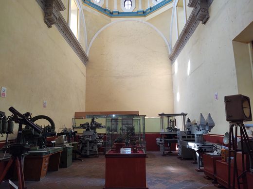
The National Cartography Museum opened in 1997 showcasing artifacts such as geography-related codices dating to the first European contacts in the early 16th-century— to collections of maps depicting New Spain and Mexico City, as well as mapmaking tools from the 20th-century. The main hall of the museum is along what was once the convent’s church, which still maintains its high ceiling arches and columns of its former life.
Know Before You Go
Entry to the museum is free and its opening hours are from 10:00 am to 5:00 pm Tuesday to Saturday, closing at 4:00 pm on Sundays and holidays.


Plan Your Trip
The Atlas Obscura Podcast is Back!


Follow us on Twitter to get the latest on the world's hidden wonders.
Like us on Facebook to get the latest on the world's hidden wonders.
Follow us on Twitter Like us on Facebook