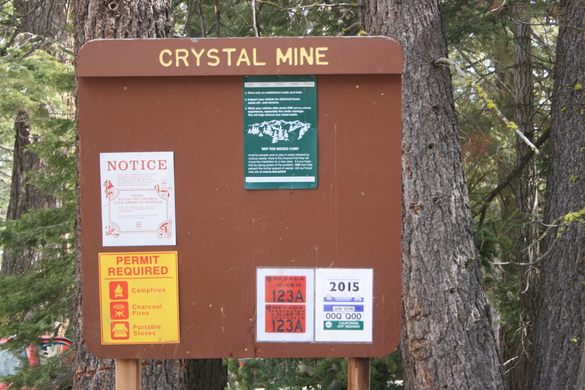
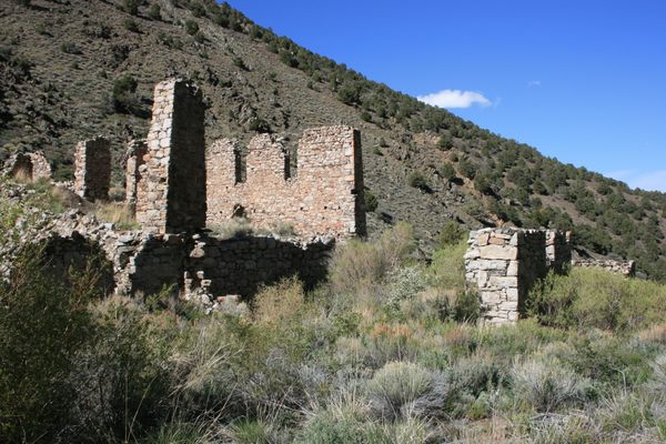
Crystal Mine
A mine in the Sierra Nevada that produced nothing but barren quartz.

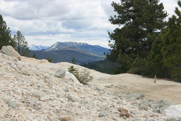
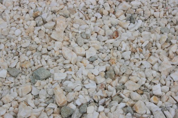
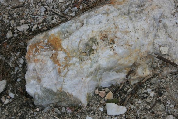
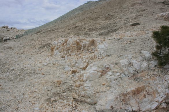
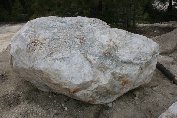
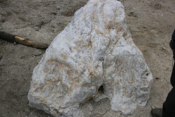

Quartz, silicon dioxide (SiO2) is one of the most common minerals in the Earth’s crust, and occurrences of massive quartz (so-called “bull quartz,” in miners’ jargon) are common. They are distinctive, the white quartz typically standing out prominently from the background of ordinary rock, and bull quartz also sometimes hosts valuable mineral deposits. The gold in the hard-rock mines of the Mother Lode on the west slope of the Sierra Nevada, for example, typically occurs in quartz.
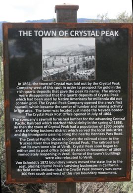
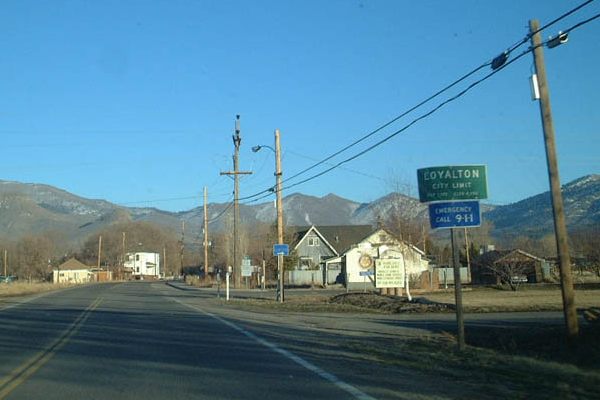
So, when this large quartz deposit was discovered not long after the Gold Rush, the prospectors thought they’d discovered a bonanza, and the town of Crystal was laid out in 1864. However, the quartz proved to be barren. For a couple of years, a sawmill in Crystal cut timber for the construction of the Transcontinental Railroad a few miles south, but after the railroad bypassed the settlement, Crystal rapidly withered. Most people and businesses relocated to the new railroad town of Verdi, in Nevada, just east of the California state line.
During World War II, some quartz for high-performance electronics was quarried, but the quarry has since reverted to public land now administered by the US Forest Service.
Know Before You Go
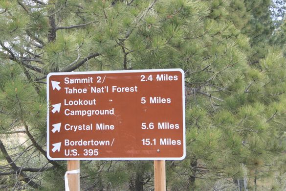
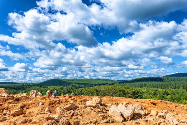
The Crystal Mine can only be reached on dirt roads on which high clearance is mandatory and 4wd desirable. The roads are also snowed in during the winter and are impassible.
The easiest way in is from Verdi. Take the Dog Valley Road west into California. This road is graded but steep. Go 2.9 miles from the California line to a junction (around 39.549019 N, 120.039700 W) with Long Valley Road. Continue straight here as the road drops down into Dog Valley. In another 3 miles, keep left at an intersection around 39.579058 N, 120.052031 W. Then go 0.6 miles to another intersection (around 39.585832, 120.054451); keep left here as the road bends west to parallel the North Branch of Dog Creek.
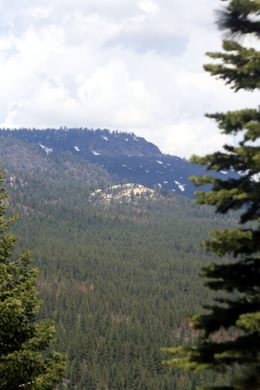
The turnoff to the Lookout Campground is about 1.1 miles farther (near 39.589570 N, 120.073055 W). Keep going for another 0.8 miles as the road first bends right (north) and then bends back to the left (west), to a junction around 39.598585 N, 120.076815 W. Crystal Peak can be seen on the left along here.
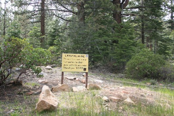
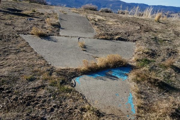
At this intersection, a rough road leads 0.3 miles back south (left) to the Crystal Peak quarry. The quarry is around 39.595469 N, 120.078365 W.
Collecting quartz chunks is permitted, but the US Forest Service asks that you remove no more than one five-gallon bucket per week.


Plan Your Trip
The Atlas Obscura Podcast is Back!


Follow us on Twitter to get the latest on the world's hidden wonders.
Like us on Facebook to get the latest on the world's hidden wonders.
Follow us on Twitter Like us on Facebook