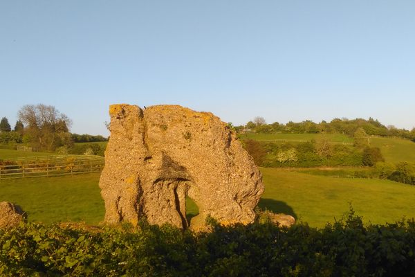
Robin Hood's Hill
This Bronze Age burial mound used to be called "Robin Hood’s Piss-Pot" until it was renamed by spoilsport Victorians.
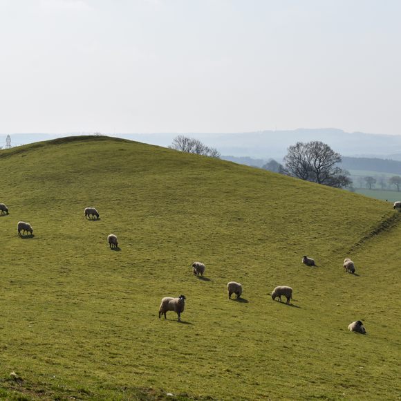
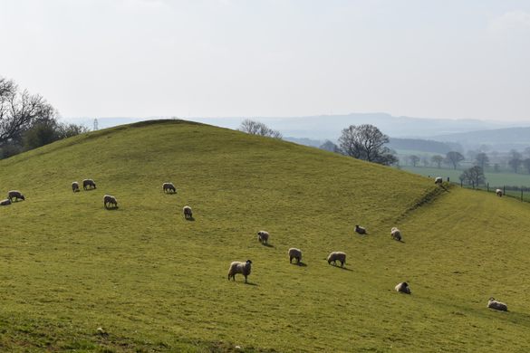
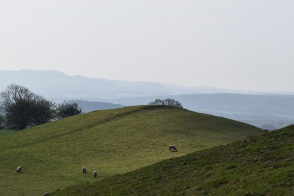
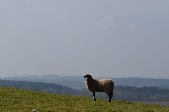
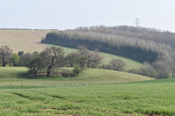
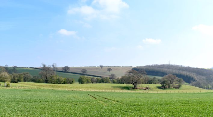

Rich in Bronze Age and Roman relics and offering enviable views across the otherwise gently undulating landscape of Nottinghamshire, this unusually pointy wind-whipped promontory is actually a 3,000-year-old burial mound, and part of a larger complex of ancient structures in the vicinity.
An 18th-century excavation revealed the ancient hillock to contain a sword, dagger, beads, and a rusty funerary urn. The feature was marked on early maps as “Robin Hood’s Piss-Pot,” named for a basin-like stone that once lay on the summit of the 20-foot-high, 80-foot-diameter burial mound. This now-vanished vessel with its stagnant pool of water may have been the base of a medieval stone cross, which would have once commanded the impressive view over Sherwood Forest offered by the tumulus. Robin Hood’s Pot, according to Nottinghamshire Historian, Thoroton was actually about a mile plus from this hill towards the South West, near the crossroads of Old Rufford Road(A614) and Haywood Oaks. It was a base of a memorial cross of a man killed in a duel over the Landlord’s daughter of what was an Inn there. The cross in time was broken off, believed to have been taken to Blidworth Church, the base then known as Robin Hood’s pot or Piss Pot by locals.
Victorian mapmakers, however, eschewed vulgar colloquial nomenclature in favor of a more seemly moniker for this archaeological site. They removed any reference to piss-pots from their cartography, renaming the prehistoric promontory “Robin Hood’s Hill” according to the sensibilities of the time. Whether the legendary Sherwood outlaw ever visited the ancient site and used it as an open-air toilet is something that would be very difficult to prove or disprove.
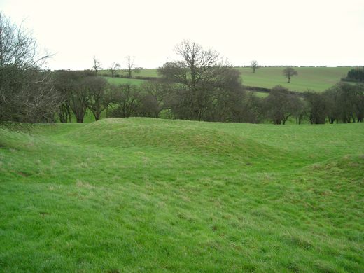
The sheep-cropped Bronze Age knoll towers over the visible remains of a possible defensive settlement of the same era known as Oldox Camp, just 400 feet away. All that remains of this 3,000-year-old site is a roughly triangular ditch enclosed by a pair of earth banks, with a well-defined entrance at the northern side of the site.
Archaeologists are unsure whether the “camp” was an enclosure for livestock or a fortified village. If the latter, it is unusual as it sits in a natural amphitheater, rather than being on a hilltop like most defensive settlements.
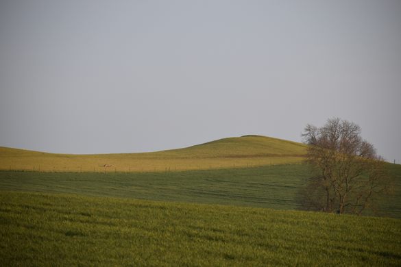
To the north of the Bronze Age complex, is a second mount, called Loath Hill, which may be the site of a further burial mound, and possibly that of a Roman encampment. Shards of Roman pottery were found on the hill and several hordes of Romano-British coins have been discovered in the locality.
Know Before You Go
The burial mound is visible from the A6097 Ollerton Road and Oxton Bypass. A public footpath ascends the hill from Oxton Village. As ancient sites go, this one is off the beaten track. It has no entry fee, no car park and no information signs. It persists within a working farm. To find it, head for Oxton's Old Green Dragon Pub which has a convenient customer car park, welcomes walkers and serves a range of local ales and food. From the pub follow a lane called Windmill Hill until it becomes a farm track. After about a mile, the track ends at a gate. Oldox Camp Settlement will be clearly visible on the right, and Robin Hood's Hill straight ahead. The public footpath continues over the hill to a bench and viewpoint, although from here, the path is not always obvious. It's recommended to take an Ordnance Survey map of footpaths and rights of way to avoid trespassing beyond this point.
Community Contributors

Edited by
Plan Your Trip
The Atlas Obscura Podcast is Back!


Follow us on Twitter to get the latest on the world's hidden wonders.
Like us on Facebook to get the latest on the world's hidden wonders.
Follow us on Twitter Like us on Facebook