


About
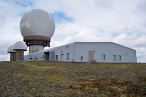
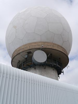
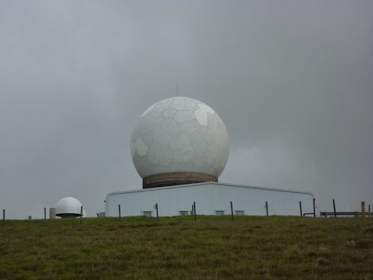
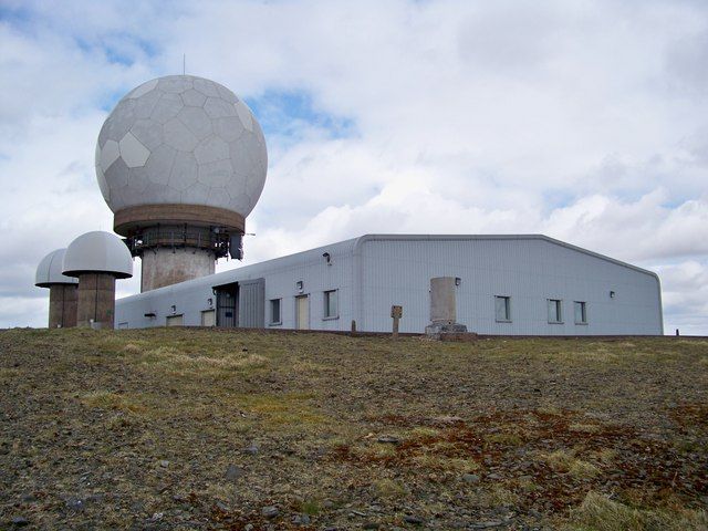
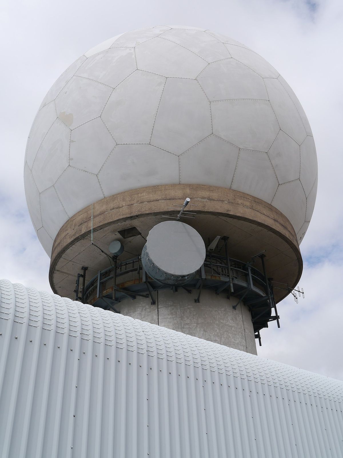
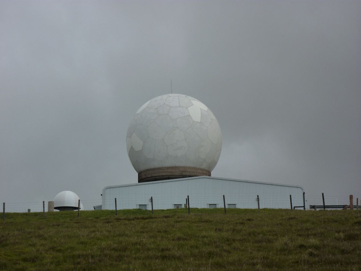
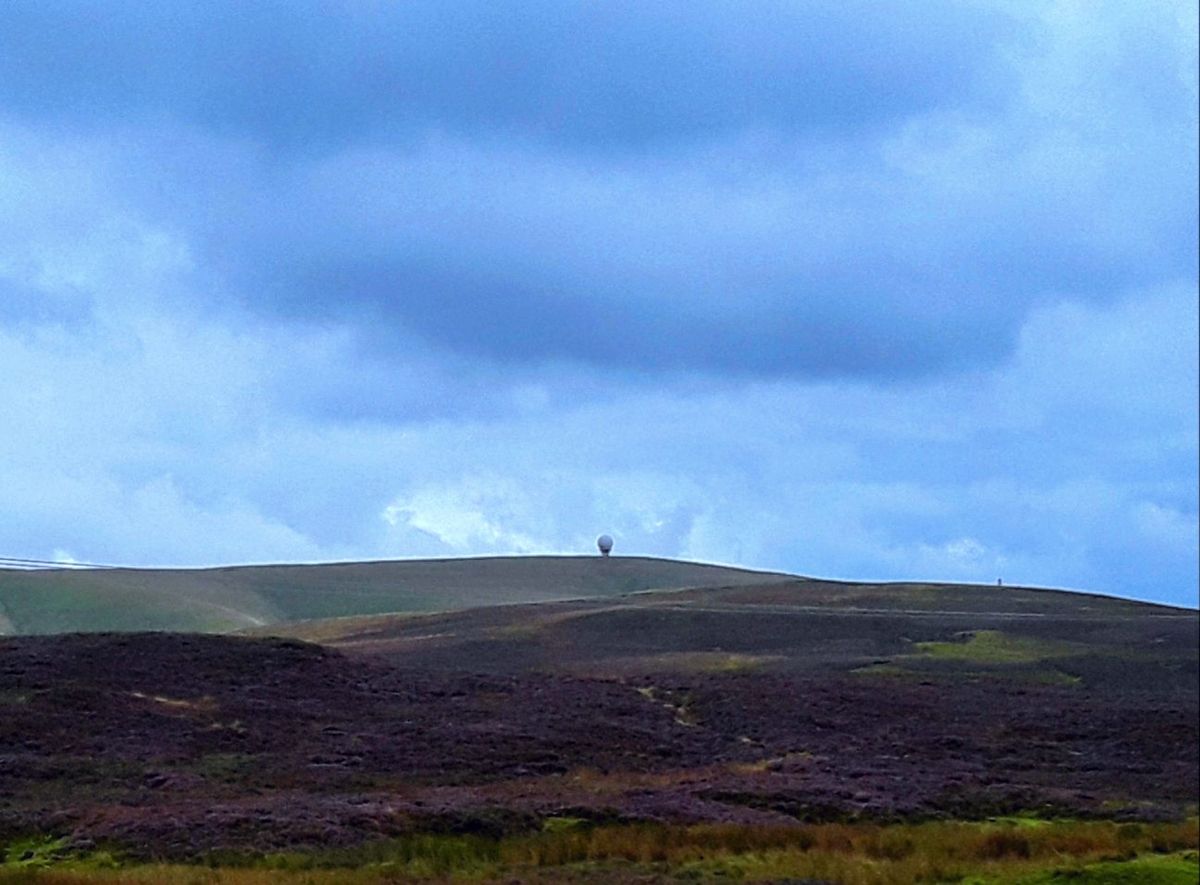
What appears to be a giant golf ball sitting atop Lowther Hill is actually a radar station used to detect air traffic. This site in the Southern Uplands is operated by the National Air Traffic Services, which is the U.K.'s main air navigation service provider. Whilst primarily a civilian operation for the U.K., all operations are fully integrated with military operations to ensure air safety in both controlled and uncontrolled airspace.
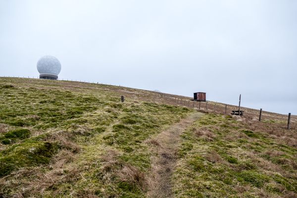
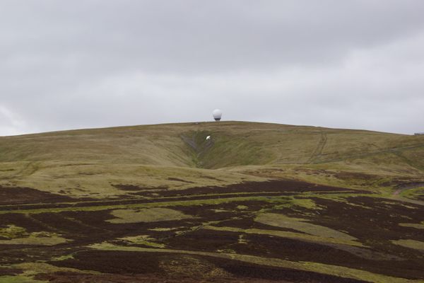
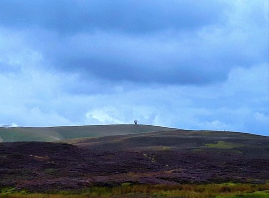
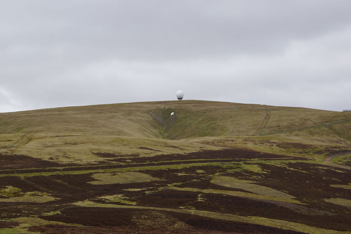
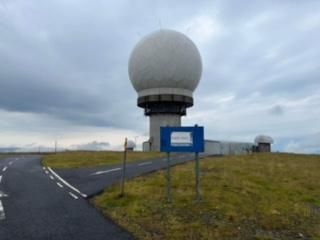
At 2,379 feet (725 meters), Lowther Hill is the second-highest summit in the group of Southern Upland hills. Lowther Hill is distinctive on account of the large radio station that sits on its summit, known colloquially as "the golf ball." The radar equipment at Lowther Hill is enclosed within the familiar golf ball-style of radome to protect the radar antennae from adverse weather. Local folks may recall the day when the golf ball blew off with high winds and the collective sense of disorientation as they couldn't place the hills of home.
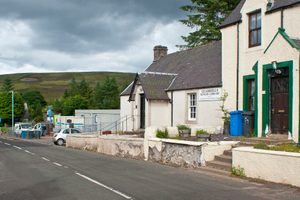
The most popular ascent to Lowther Hill begins from Wanlockhead, Scotland’s highest village at 1,531 feet. The stout-hearted can opt to take the Southern Upland Way, which reaches its highest point just below the summit. A private road, snakes up the hill and is the second highest paved road in Britain and provides easier access to the hills for walkers and cyclists.
Related Tags
Know Before You Go
The weather can be pretty extreme in winter so check local forecasts before heading out.
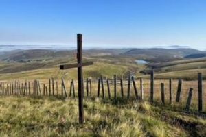
There is a bothy by the summit where you can rest your weary feet as you feast on a truly incredible view.
Community Contributors
Added By
Published
September 29, 2022