Neutaconkanut Hill Park
A virtually untouched "home on the hill" for the flora and fauna of Rhode Island.

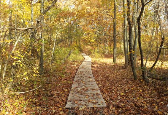
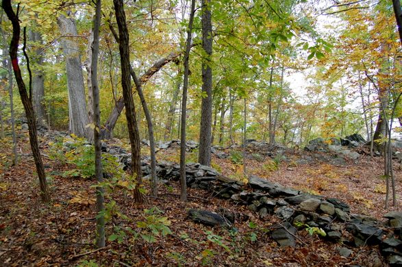

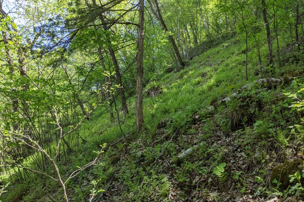
Neutaconkanut Hill Park is an 88-acre wilderness located inside the Providence city limits.
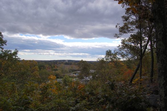
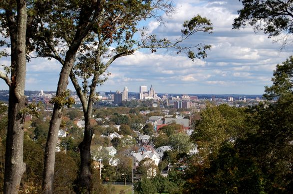
The hill was the northwest boundary of the land agreement between Roger Williams, the founder of Rhode Island, and the Narragansett Indians. At 296 feet above sea level, is the highest point in the city of Providence, affording a fine view of the downtown Providence skyline and Narragansett Bay.
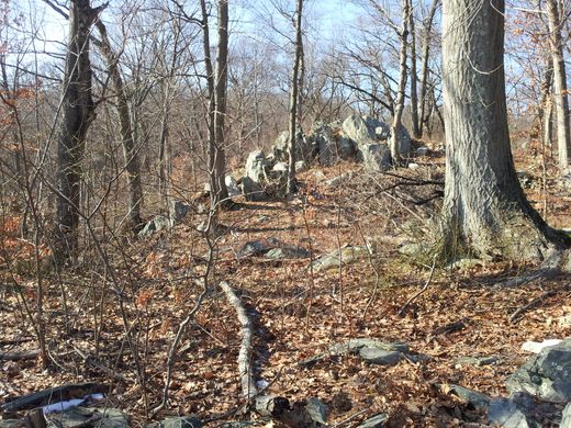
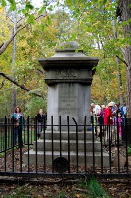
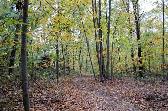
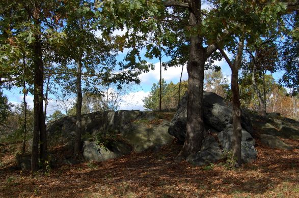
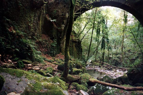
For a time the property was owned by the Borden family (until 1829), and then the King family (until 1892). A family monument still stands on the property. The pristine woodland includes ravines, glacial boulders, freshwater springs, and walking trails created in the 1930’s by the WPA. It is owned by the city of Providence and preserved by the Neutaconkanut Hill Conservancy in cooperation with the Providence Parks Department.
Community Contributors


The Atlas Obscura Podcast is Back!


Follow us on Twitter to get the latest on the world's hidden wonders.
Like us on Facebook to get the latest on the world's hidden wonders.
Follow us on Twitter Like us on Facebook