Gannett Peak
The easiest way to the highest point in Wyoming is only accessible via one hefty fee.

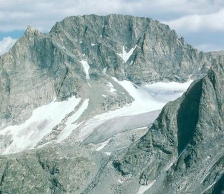

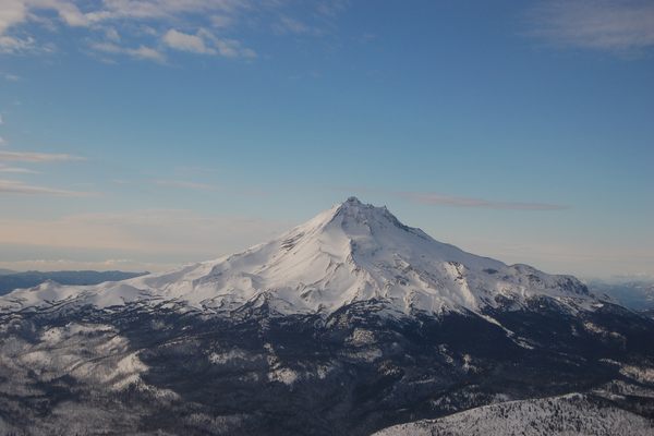
Many long and difficult routes await climbers who wish to scale the highest point in Wyoming at 13,804 feet above sea level, but some can make the hike shorter for a price.
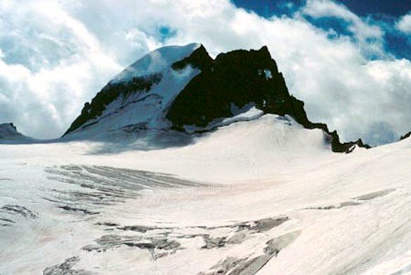
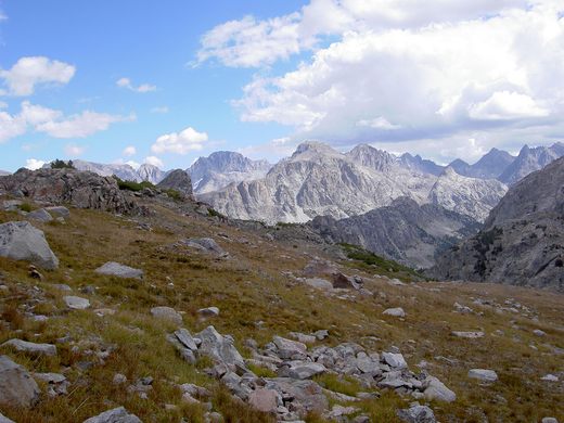
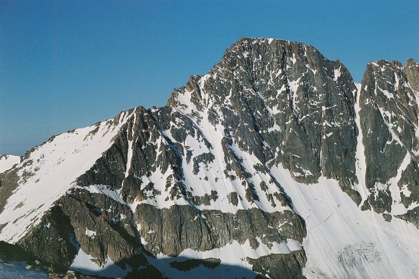
Gannett Peak is a very remote mountain in the Wind River Range of the Rocky Mountains in western Wyoming. The standard routes from the east (Glacier Trail) and the west (Pole Creek) are long, rugged routes that involve demanding hikes of over 20 miles through backcountry, with snow and glacier climbs through chutes and over bergschrunds near the summit to the views of the Wind River Range.
However, climbers can cut off a significant portion of the hike and the multiple creek crossings from the east by nearly 15 miles if they are prepared to pay for the privilege. The Ink Wells Trail meets the Glacier Trail, but access to Ink Wells is on the Wind River Indian Reservation. Access can be arranged by calling the reservation’s Ranger Station at (307) 455-2466 well in advance of your excursion. A guide will have to be hired to drive the climbers to the trailhead and the Reservation Trespass fee per day will have to be paid as well. As of 2011, climbers should expect to pay upwards of $300 per person, with a maximum group size of six, should they wish to use the Ink Wells Trail.
Know Before You Go
For the Glacier Trail, drive east 4 miles from Dubois, WY and turn south on Whiskey Basin/Trail Lake Road. At the intersection, turn west and follow the road to the trailhead and hike and climb 25 miles to the summit.For the Pole Creek Trail, from Pinedale, WY, turn north on Fremont Lake Road, then eastward onto Skyline Drive until the trailhead. Hike and climb 20 miles to the summit.
For the Ink Wells Trail, book all access through the Wind River Indian Reservation Ranger Station. Fastest route to the top is up the W side. Allow a minimum of 3 days. Start your hike at the Green River Lakes FS campground, hike the upper Green to Three Forks Park (8 mi.), then ascend the scree field to the E. From there it is about 5 miles to the W. Face of the peak.
There may be some steep snowfield climbing to get to the base of the W. Face. From here you can either rope up an open book/crack for a couple of pitches (5.4) or climb up a grade 4 steep talus coulouir to the N of the face. Descend via the talus coulouir. Bring ropes, ice axe.
Community Contributors

Edited by

The Atlas Obscura Podcast is Back!


Follow us on Twitter to get the latest on the world's hidden wonders.
Like us on Facebook to get the latest on the world's hidden wonders.
Follow us on Twitter Like us on Facebook