Dong Van Karst Plateau
This striking landscape in northern Vietnam contains both geological and archaeological wonders.

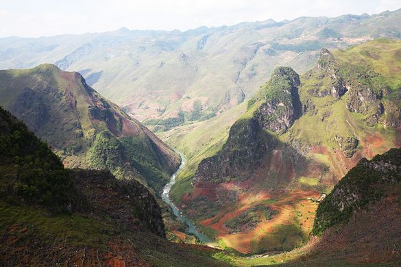
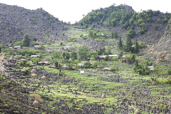
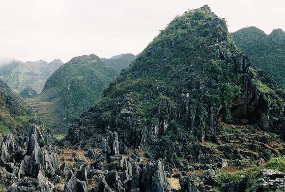
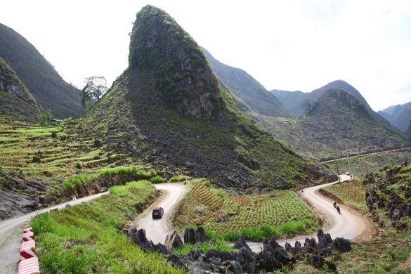
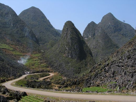
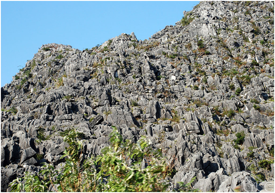
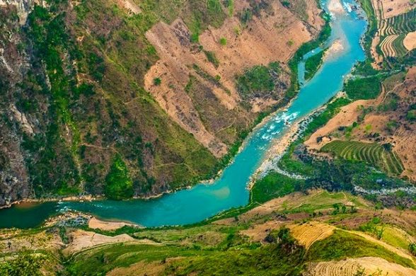

Located over 1,000 meters above sea level, Dong Van Karst Plateau consists of narrow valleys alternating with rocky mountain ranges in the north of Vietnam. Over 80 percent of the surface is covered with limestone, including a high concentration of rocky peaks sitting over 2,000 meters above sea level. The rock of Dong Van is believed to contain fossils from 400 million to 600 million years ago.
This geological anomaly—recognized by UNESCO in October 2010 as one of just 77 geological parks in the world—spreads over the districts of Meo Vac, Dong Van, Yen Minh and Quan Ba, encompassing a total area of 2,300 square kilometers. At the center of the plateau is Dong Van Town, located 150 kilometers from the center of Ha Giang Province.
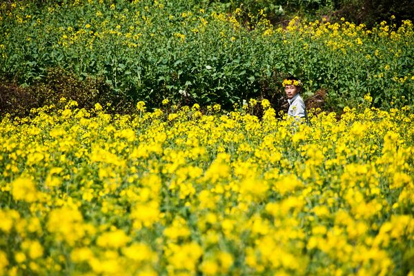
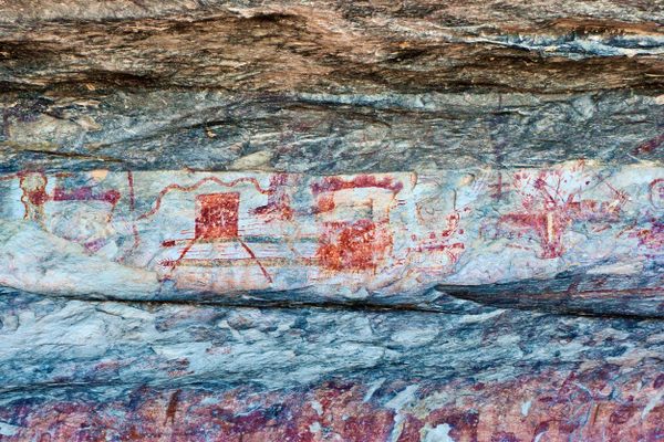
The plateau is not only a fascinating landscape but also an extraordinary piece of history. Archeologists have carried out excavations in the Quan Ba and Yen Minh districts on Dong Van Plateau and discovered many stone tools from the Son Vi Civilization, dating back 10,000 to 30,000 years. This is important evidence that prehistoric men resided on the rock plateau. Excavations in Can Ty Commune, Quan Ba District have found nearly 200 farming tools of prehistoric men.
Know Before You Go
From Noi Bai International Airport, head onto National Road No.2 to the north for 320 kilometers to arrive at the very peaceful Ha Giang Town by the Mien River.
To get the karst plateau:
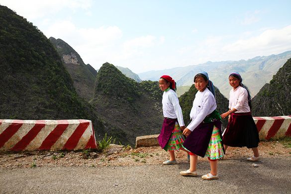
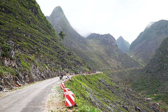
From Ha Giang City, visitors travel on National Highway 4C for 43km to Quan Ba. Continuing on this highway through Can Ty Pass, pine forests, steep drops, deep ravines, and razor sharp turns, visitors will reach to Dong Van karst plateau.

Community Contributors


The Atlas Obscura Podcast is Back!


Follow us on Twitter to get the latest on the world's hidden wonders.
Like us on Facebook to get the latest on the world's hidden wonders.
Follow us on Twitter Like us on Facebook