Big Four Ice Caves
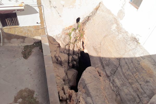
Cave carved out of a huge snow drift collapsed killing one and injuring five in July 2015.
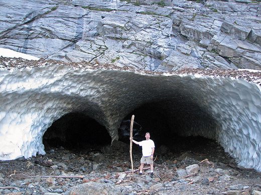
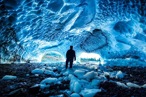

Update: One person was killed, and four were injured in a cave collapse in July 2015
In 1999, Mount Baker Ski Area set a world record for snowfall in the United States, totaling a massive 95 feet in one season.
Although the North Cascades rarely get that much fresh powder, their typical snowfall takes well into the summer months to melt away and sometimes lasts until the next winter.
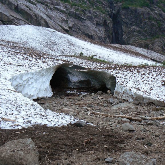
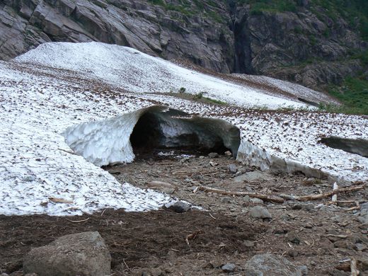
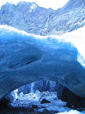
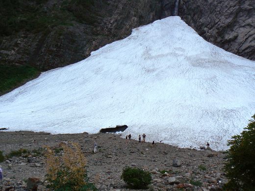
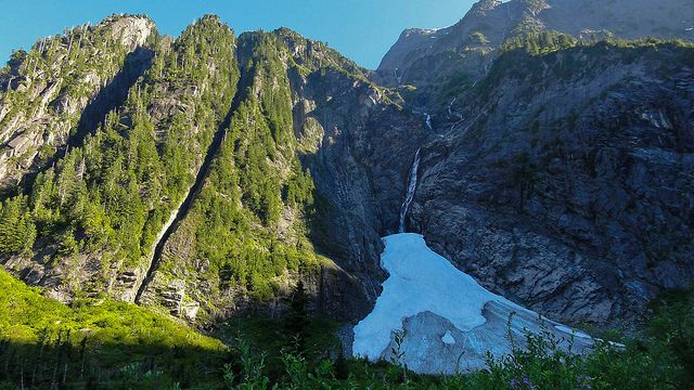
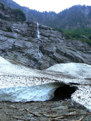
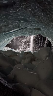
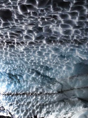
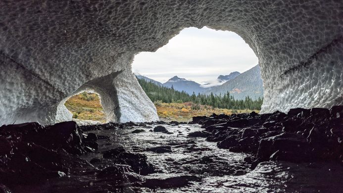
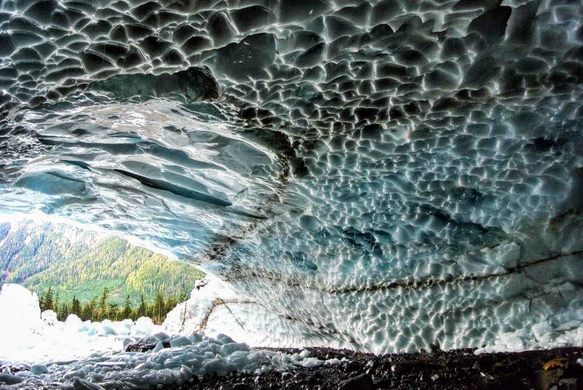
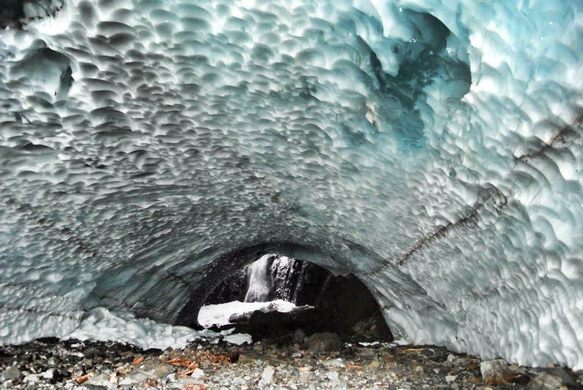
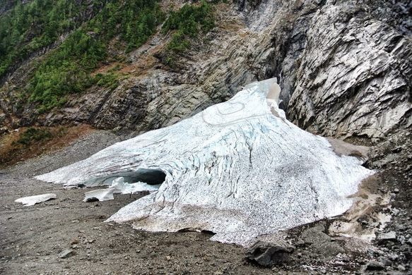
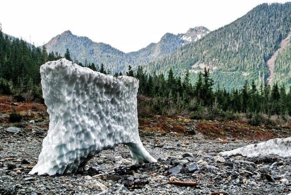
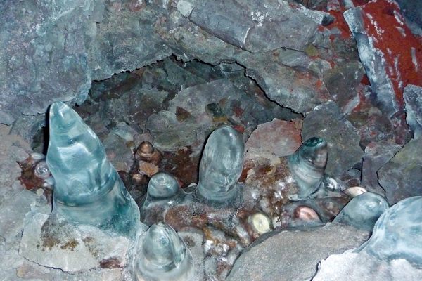
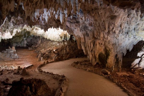
As the summer months slowly eat away the snow around the glaciers, warm winds form deep ice caves, pushed right up to the mountains. The Big Four Ice Caves Trail start in Mt. Baker National Forest along US Route 92 and allow for a close-up of the ice fields and the immense north face of the 6,153 foot Big Four Mountain.
The caves usually begin to form during late July and August and remain visible until October when snowfall begins again. The ice formations dynamism can be both exciting and unfortunate. Their visibility is finite and ever changing, and ultimately they cannot fight their nature as a slowly melting but permanent ice field.
Getting close to and hiking in the caves is not advised. There have been several injuries and fatalities within and around the area from falling ice and collapsing portions of the caves.
Know Before You Go
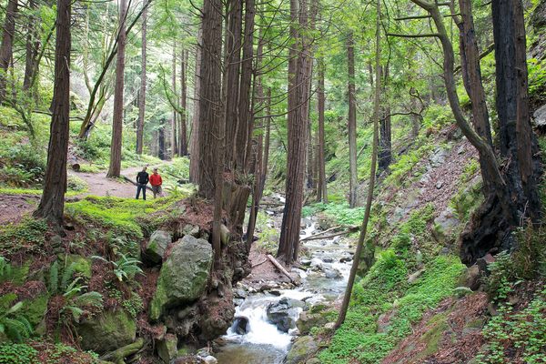
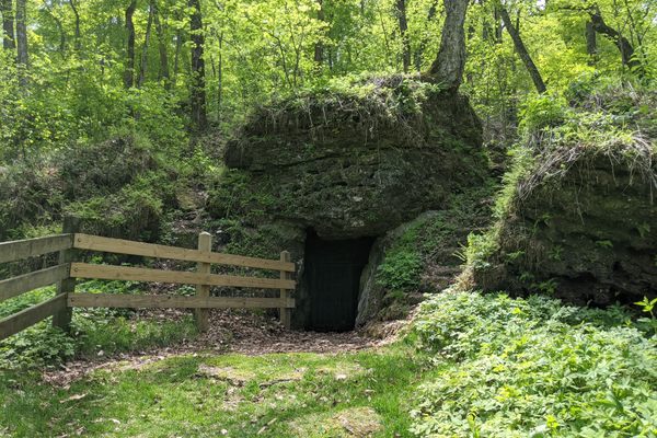
Take State Route 92 to Granite Falls, then continue on the Mountain Loop Highway. It's about 26 miles out of Granite Falls. You pass through Silverton, before you get there and there is a sign that says Big Four on the right side of the road
Community Contributors
Added by


The Atlas Obscura Podcast is Back!


Follow us on Twitter to get the latest on the world's hidden wonders.
Like us on Facebook to get the latest on the world's hidden wonders.
Follow us on Twitter Like us on Facebook